Mariensee - Hallerhaus am Wechsel (red trail)
Starting point: Mariensee (815 m)
| Latitude/Longitude: | 47,53882°N 15,98241°E |
| |
Route name: red trail
Walking time: 1 h 55 min
Difficulty: easy marked way
Elevation gain: 535 m
Elevation difference along the route: 555 m
Map:
Recommended equipment (summer):
Recommended equipment (winter): ice axe, crampons
Views: 140
 | 1 person like this post |
Access to starting point:
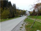
We leave Highway A2 Graz - Vienna at the Aspang Markt exit and follow the road to the mentioned settlement. Upon arriving in the town, we follow the signs for Mariensee; at the end of the town we turn left once more towards Mariensee (straight ahead is St. Corona am Wechsel). After approximately 8.5 km of further driving, we reach the centre of Mariensee, where we park at the marked parking area behind the fire station.
Route description:
Through the settlement we continue on the road ahead, and after a few minutes we turn left in the direction of Mönichkirchner-Schwaig. Further on we ascend past a few more houses, where we turn left; afterwards the road curves right and at the last house turns into a cart track, which then climbs across a grazing slope. Higher up, when we reach the macadam road we follow it to the left; it first leads us past a holiday cottage and then for a short while ascends diagonally to the left.
Soon we turn sharply right and immediately left onto a cart track that takes us to another pasture, where we join a wider macadam road, which we follow left to the nearby farm.
Before the farm we turn right and ascend on a cart track across a panoramic pasture to a larger masonry chapel built in 1925.
Above the chapel we reach the next road and follow it to the left, or according to the signs for Mönichkirchner-Schwaig.
We then gently ascend along the macadam road to the left, continuing straight at several minor junctions. Later we arrive at a ski piste of the Mönichkirchen / Mariensee ski area, which we cross through a small tunnel. On the other side of the tunnel we arrive at a marked junction next to the inn Alpengasthof Fernblick, where the green path also joins.
We continue straight ahead (sharply right to the inn Alpengasthof Fernblick, 30 metres) and continue walking along the gravel road, which still ascends diagonally to the left. After leaving the forest we continue past the hotel Alpengasthof Enzian and the reservoir and arrive at Berggasthof Mönichkirchner-Schwaig.
We continue in the direction of the mountain hut Hallerhaus and Vorauer Schwaig, ascending further on the right side of another ski piste, accompanied by fairly rare markings. A few minutes of steeper ascent follow on a cart track climbing the ski slope, then we join the cart track which continues further across the ski slope. Occasionally beautiful views open up, and we follow the marked path to the Hallerhaus hut.
Mariensee - Alpengasthof Fernblick 1:05, Alpengasthof Fernblick - Berggasthof Mönichkirchner-Schwaig 0:20, Berggasthof Mönichkirchner-Schwaig - Hallerhaus 0:30.
Description refers to the conditions in October 2025; the photos are from October 2022 and October 2025.

Photos:
 1
1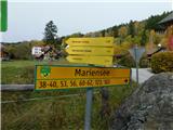 2
2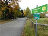 3
3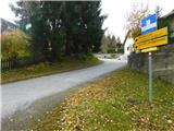 4
4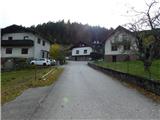 5
5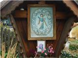 6
6 7
7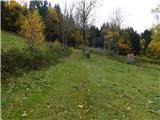 8
8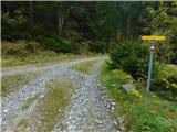 9
9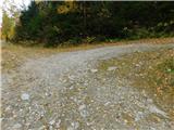 10
10 11
11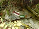 12
12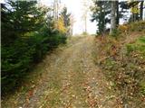 13
13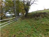 14
14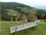 15
15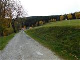 16
16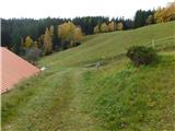 17
17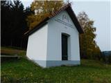 18
18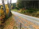 19
19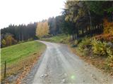 20
20 21
21 22
22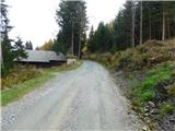 23
23 24
24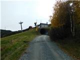 25
25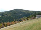 26
26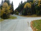 27
27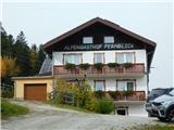 28
28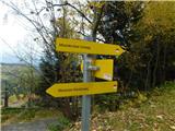 29
29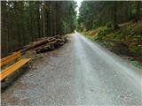 30
30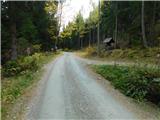 31
31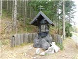 32
32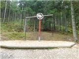 33
33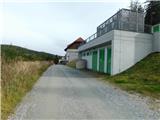 34
34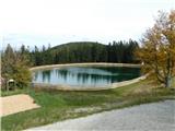 35
35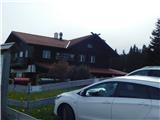 36
36 37
37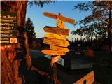 38
38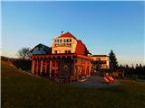 39
39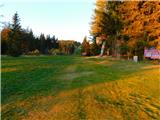 40
40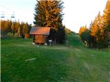 41
41 42
42 43
43 44
44 45
45 46
46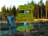 47
47 48
48 49
49
Discussion about the trip Mariensee - Hallerhaus am Wechsel (red trail)
To post a comment you must log in:
If you do not yet have a username, you must first
register.