Martinjak - Dom na Slivnici
Starting point: Martinjak (567 m)
| Latitude/Longitude: | 45,77749°N 14,39987°E |
| |
Walking time: 1 h 20 min
Difficulty: easy marked way
Elevation gain: 511 m
Elevation difference along the route: 511 m
Map: Snežnik 1:50.00
Recommended equipment (summer):
Recommended equipment (winter): ice axe, crampons
Views: 71
 | 1 person like this post |
Access to starting point:
From the Ljubljana - Koper motorway, take the Unec exit and continue following the road towards Cerknica. From Cerknica, continue along the main road towards Bloke and Lož, then in the village of Martinjak park at a suitable spot on the gravel between the fire station and the bell tower (clock tower) along the main road.
Route description:
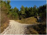
From the starting point, first carefully cross the main road and walk along the pavement to the nearby bus stop in the direction towards Bloke. Behind the bus stop, turn left onto the side road, along which there are signs for Slivnica. Continue past a few houses, following the markers at the intersections; the road then becomes gravel and leads us to a junction, where we go right (left Cerknica). From the junction, continue briefly along the gravel road, which leads us past a waterworks facility, then turn slightly left onto the marked path, which for a few steps runs parallel to the road, then turns left and begins to move away from the road.
The path ahead continues through dense forest and becomes increasingly steep. A considerable steep ascent follows, higher up the gradient eases somewhat and we join the path from the starting point in the settlement of Grahovo.
Here we go left, i.e. follow the signs for Slivnica; the path then ascends transversely to the left and soon we reach extensive grassy slopes that offer exceptional views of the surroundings.
Here we ascend transversely, and during the ascent we pass the junction to Coprniška jama, or Anžetova jama; a little higher the path forks again, and we choose the path that continues straight ahead (right to the summit of Slivnica via the path that bypasses Dom na Slivnici), which brings us to Dom na Slivnici in about three minutes.
Starting point - Skrajnice 1:05, Skrajnice - Dom na Slivnici 0:15.

Along the route: Skrajnice (1007m), Odcep k Coprniški jami (1065m)
Photos:
 1
1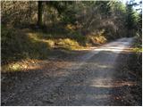 2
2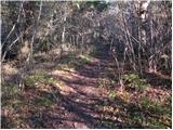 3
3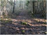 4
4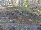 5
5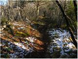 6
6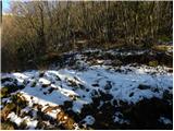 7
7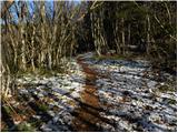 8
8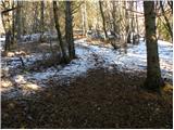 9
9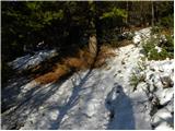 10
10 11
11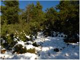 12
12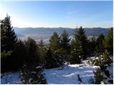 13
13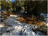 14
14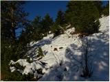 15
15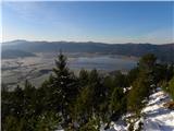 16
16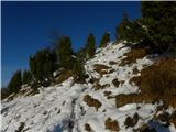 17
17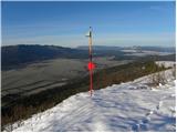 18
18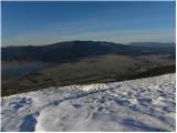 19
19 20
20
Discussion about the trip Martinjak - Dom na Slivnici
To post a comment you must log in:
If you do not yet have a username, you must first
register.