Starting point: Mašun (1022 m)
| Latitude/Longitude: | 45,62826°N 14,36613°E |
| |
Walking time: 3 h 15 min
Difficulty: easy marked way
Elevation gain: 220 m
Elevation difference along the route: 400 m
Map: Snežnik 1:50.000
Recommended equipment (summer):
Recommended equipment (winter): ice axe, crampons
Views: 3.970
 | 1 person like this post |
Access to starting point:
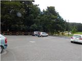
From Ilirska Bistrica or Pivka we drive to Knežak, and from there we follow the signs for Mašun. There follow a few kilometers of driving on a somewhat winding, but entirely asphalted road to Mašun. We park on the asphalted parking lot near the inn Mašun.
Route description:
From the parking lot, we walk to the nearby crossroad, from which we continue slightly right in the direction of European footpath E6 and Snežnik. At first, we still walk on an asphalt road, and the asphalt soon ends and we continue on a wider macadam road, on which we walk to a distinct left turn. At the turn, to which we need a little less than 20 minutes of walking, we go right on a marked cart track, and it quickly changes into a poorly beaten forest path, where we follow the blazes of European footpath. A little further, we reach the macadam road, on which we step right at the turning point, and from the turning point we go slightly left and we continue on a cart track which at first slightly descends, and then continues without large changes in altitude. At the smaller crossing, where a wider cart track turns slightly to the right, we go straight and then we reach another forest road which we follow to the left. There follow a few smaller crossroads, where we continue straight, when we reach a wider macadam road we follow it to the right in the direction of Snežnik and Sviščaki. The path ahead leads us also past the cottage Škrli, and at the marked crossroad where the marked path continues straight on the forest road, we continue right in the direction of a wider road towards Sviščaki. Next follows traversing of slopes named Drče, and at the nearby crossroad where from the right side joins unmarked shortcut, we go left towards Sviščaki, to which we have 7 km. Also in the next crossroads, we follow the signs for Sviščaki, and from the right joins also a marked path from the settlement Koritnice. Next follows some descent and we come out of the forest to Grda draga, where there stands a forestry cottage, and a little ahead there is another starting point for the ascent on Snežnik.
When we leave Grda draga we again start ascending through the forest, and at the crossroads, we follow the wider road. When we get to Sviščaki only a shorter descent separates us from the mountain hut.
The description and pictures refer to the situation in September 2020.

Along the route: Vrata (1024m), Grda draga (1172m)
Photos:
 1
1 2
2 3
3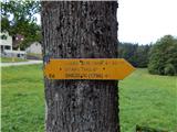 4
4 5
5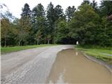 6
6 7
7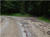 8
8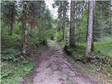 9
9 10
10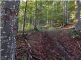 11
11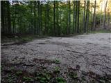 12
12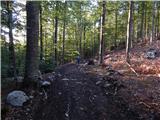 13
13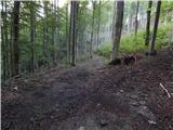 14
14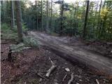 15
15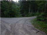 16
16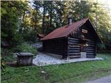 17
17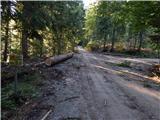 18
18 19
19 20
20 21
21 22
22 23
23 24
24 25
25 26
26 27
27 28
28 29
29 30
30 31
31
Discussion about the trip Mašun - Dom na Sviščakih
To post a comment you must log in:
If you do not yet have a username, you must first
register.