Starting point: Matizovec (915 m)
| Latitude/Longitude: | 46,41450°N 14,30000°E |
| |
Walking time: 3 h 5 min
Difficulty: easy pathless terrain
Elevation gain: 1085 m
Elevation difference along the route: 1088 m
Map: Karavanke - osrednji del 1:50.000
Recommended equipment (summer):
Recommended equipment (winter): ice axe, crampons
Views: 14.453
 | 3 people like this post |
Access to starting point:
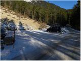
From the Ljubljana–Jesenice motorway we take the Ljubelj exit and follow the road towards the border crossing. We leave the main road at the point where signs for Podljubelj and the camp direct us right. After a few meters we reach a junction where we continue left towards Kofc. We drive through the village on a slightly ascending road, then turn right towards Matizovec and Kofc. We follow this at times slightly narrower road all the way to the arranged, paid parking lot, which is located approximately 150 meters in elevation below the Matizovec farm. The road is now fully asphalted all the way to the arranged parking lot. In September 2026 the parking fee was 4 EUR.
Route description:
From the large free parking lot we continue on a macadam road, on which in approximately 20 minutes we arrive at the farm Matizovec.
From Matizovec we continue on a rougher road in the direction of Dom na Kofcah, and at several successive junctions we carefully follow the blazes. After a few minutes of walking on the rougher road or cart track, the blazes direct us onto a steep footpath, which first ascends diagonally to the left and then transitions to a forested ridge, where it turns slightly to the right. Further, we ascend on a steep mountain path, which higher crosses a cart track and behind it gradually flattens. Only a little further, the forest thins out, the marked path turns right into the forest and a little higher joins the cart track, which ascends diagonally to the right. The cart track higher turns to the left, and from the right the marked path from Kal also joins.
From the junction ahead the forest ends, and the increasingly scenic path in 5 minutes of additional walking brings us to the Dom na Kofcah.
From the mountain hut we continue in the direction of Veliki vrh and Kladivo on an initially somewhat poorly visible path, which starts to ascend across a panoramic meadow. After 15 minutes of walking from the Dom na Kofcah we arrive at a nice viewpoint at the cross.
The path then descends slightly and in a few minutes brings us to the steeper slopes of Košuta. The path then ascends through a belt of dwarf pines, bringing us to a junction. We continue straight ahead (right: Kladivo and Kofce gora) on the path which ascends diagonally across increasingly steep slopes. The path, which continues on an unvegetated slope, soon brings us to a short steep section, where a steel cable assists (undemanding). Once we pass this section, the path turns slightly to the left and continues relatively steeply ascending across a grassy slope. The increasingly scenic path then brings us into a small valley, through which we ascend almost to the border ridge, where the ridge path joins from the right. The path then from the valley again transitions to the southern slopes, where it bypasses the peak »Toplar (2000m)« on the south side. Right at this spot we leave the marked path leading to Veliki vrh and head right into pathless terrain. After three minutes of steep but undemanding ascent on pathless terrain we step onto Toplar.
Starting point - Matizovec 20 minutes, Matizovec - Kofce 1:15, Kofce - Toplar 1:30.

Photos:
 1
1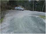 2
2 3
3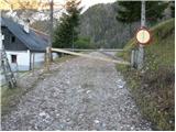 4
4 5
5 6
6 7
7 8
8 9
9 10
10 11
11 12
12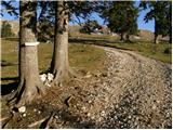 13
13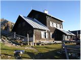 14
14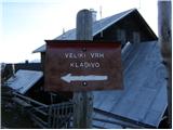 15
15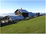 16
16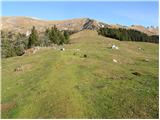 17
17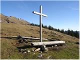 18
18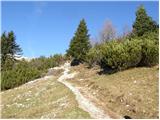 19
19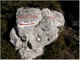 20
20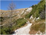 21
21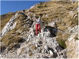 22
22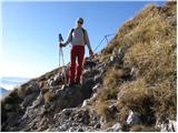 23
23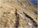 24
24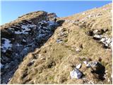 25
25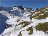 26
26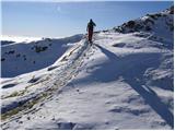 27
27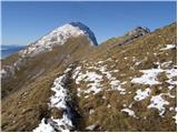 28
28 29
29 30
30 31
31
Discussion about the trip Matizovec - Toplar
|
| efes24. 06. 2010 |
well tomorrow we're going up here with friends, we'll see how long it takes in the mountains, when we get back tomorrow I'll write how it was
|
|
|
|
| efes25. 06. 2010 |
Well, here we are, up there, nothing special , we went elsewhere. , we went elsewhere.
|
|
|
|
| janate2. 01. 2011 |
I was at Toplar on 31.12.10 when returning from Veliki Vrh. Nothing special, but interesting were the walls (spires) on the Austrian side of the slope below Toplar.
|
|
|
To post a comment you must log in:
If you do not yet have a username, you must first
register.