Matrafuered - Kékestető (pot modri križ)
Starting point: Matrafuered (350 m)
| Latitude/Longitude: | 47,83050°N 19,96730°E |
| |
Route name: pot modri križ
Walking time: 2 h
Difficulty: easy marked way
Elevation gain: 664 m
Elevation difference along the route: 675 m
Map:
Recommended equipment (summer):
Recommended equipment (winter):
Views: 2.770
 | 1 person like this post |
Access to starting point:
From Budapest, we drive east on the motorway towards the town of Nyiregyhaza. After approximately 90 kilometers, we exit the motorway at the Gyoengyoes/Matrafured exit. We continue to the town of Gyoengyoes, then at the marked intersection continue north towards Matrafuered. When we arrive in the mentioned place, we turn left into the first street (Beke ut), where we park.
Route description:
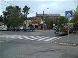
The trail starts at the main intersection in Matrafuered, where the sports mountaineering base (Hegyes sportok bazisa) and bus station (Palyaudvar) are also located. We descend and at the power line pole notice the first markings (in Hungary, markings are somewhat different: a white frame with a cross or triangle inside in a specific color). The trail leading to our goal has the blue cross marking.
The trail continues along the asphalt road by the Somor stream. After 100 meters, a green and red trail branches left; we continue straight, walking on asphalt for about 5 more minutes, then proceed onto a somewhat steeper path. When the steepness ends, a trail marked with blue triangle branches right downward (continuing along the Somor stream valley); we go ahead and climb to the ruins of Benevar Castle.
Here the trail flattens and leads through a sparser forest. Ahead, it gently ascends and higher up crosses a forest road. In the upper part of the sparse forest, a view opens towards Gyoengyoes town and the plain to the south.
When we return to dense forest, a short trail branches right to the Remete Barlang cliffs. The trail continues with a slight ascent and soon brings us to the first pine forest and then a clearing. From the clearing, the first view of the large TV tower on the summit appears. Above the clearing, the trail re-enters the forest and ascends more steeply. Here, a red cross marked trail joins from the left (from Matrahaza village), followed by a blue triangle marked trail. Further, we cross the asphalt road to the summit 3 times (between crossings, the trail passes a water intake and Javoros spring). Higher up at the parking lot, we see the ski slope and several buildings ahead. We continue on the asphalt road almost to the top. One minute below the summit, we leave the asphalt and walk a forest path to Hungary's highest peak (Kekes / Kékestető).
At the summit there is a sculpture, and a nearby ski resort around it. Since the summit is mostly forested, a nice view opens to the southwest, where Budapest and Galya peak, Hungary's second highest, are visible. To the northwest, views of Karancs and towards Slovakia.

Photos:
 1
1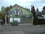 2
2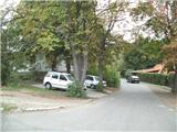 3
3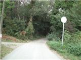 4
4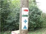 5
5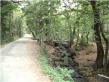 6
6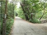 7
7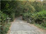 8
8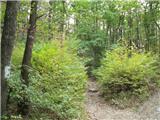 9
9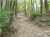 10
10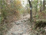 11
11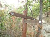 12
12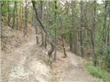 13
13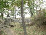 14
14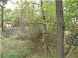 15
15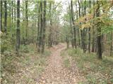 16
16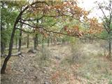 17
17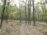 18
18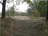 19
19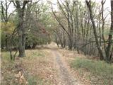 20
20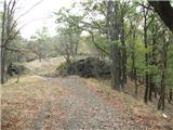 21
21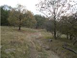 22
22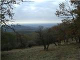 23
23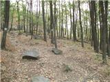 24
24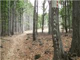 25
25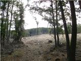 26
26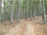 27
27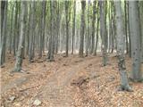 28
28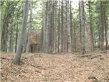 29
29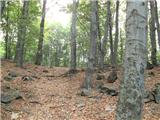 30
30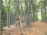 31
31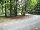 32
32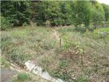 33
33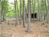 34
34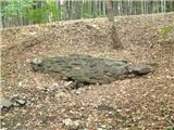 35
35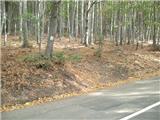 36
36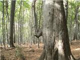 37
37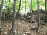 38
38 39
39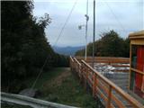 40
40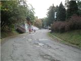 41
41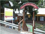 42
42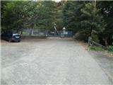 43
43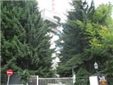 44
44 45
45 46
46 47
47
Discussion about the trip Matrafuered - Kékestető (pot modri križ)
To post a comment you must log in:
If you do not yet have a username, you must first
register.