Matrafüred - Kékestető (pot modri trikotnik)
Starting point: Matrafüred (350 m)
| Latitude/Longitude: | 47,83050°N 19,96730°E |
| |
Route name: pot modri trikotnik
Walking time: 2 h
Difficulty: easy marked way
Elevation gain: 664 m
Elevation difference along the route: 664 m
Map:
Recommended equipment (summer):
Recommended equipment (winter):
Views: 1.706
 | 2 people like this post |
Access to starting point:
From Budapest, we drive east on the motorway towards the town of Nyiregyhaza. After approximately 90 kilometers, we exit the motorway at the Gyöngyös/Matrafüred exit. We continue to the town of Gyöngyös, then at the marked intersection continue north towards Matrafüred. When we arrive in the mentioned place, we turn left into the first street (Beke ut), where we park.
Route description:
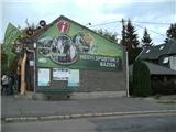
We start the trail at the main intersection in Matrafüred, where the sports mountaineering base (Hegyes sportok bazisa) and bus station (Palyaudvar) are also located. We descend and notice the first markings at the power pole. The trail leading us to our goal is marked with a blue triangle.
The trail continues along an asphalt road along the Somor stream. After 100 meters, a green and red trail branches off to the left, but we continue straight and walk on asphalt for about another 5 minutes, then proceed onto a somewhat steeper path. When the steepness ends, our trail branches right downhill (straight ahead goes the blue cross trail)
The trail takes us along the slope to a small bridge over the Csatorna stream. We cross the stream and are back on the asphalt road, which we soon leave, continuing right, then left at the next junction (junctions are well marked).
The trail further leads us into the forest, passing a waterway and a concrete barrier on the Csatorna stream, which we will also cross. After crossing, we will ascend gently for a while, with the stream always to our right. Along the way, there are numerous well-marked junctions, so orientation is not a problem. The trail along the stream is quite interesting, as the babbling of the brook accompanies us all the time.
After about an hour of walking along the stream, our trail branches steeply uphill to the right from the cart track onto the slope. From here, the trail becomes quite steep, the surface more rocky and slippery. There will be a few shorter flat sections along the trail.
At the end of the steep section, the trail will first turn sharply left back south, then sharply right north again. Here the steepness will finally ease. Trails marked blue cross and Marijina pot will join us from the left. Further on, we cross the asphalt road leading to the summit 3 times (during the section between crossings, the trail takes us past a water intake and the Javoros spring). When we reach the parking lot higher up, we see a ski slope and several buildings in front of us. We continue along the asphalt road, walking almost to the top. A minute below the summit, we leave the asphalt and walk along a forest path to the highest peak in Hungary (Kekes / Kékestető).
There is a sculpture on the summit, and a nearby ski slope around the top. Since the summit is mostly forested, we get a nice view to the southwest, where we can see Bidimpešta and Galya peak, the second highest in Hungary. To the northwest, there is a view of Karancs and towards Slovakia.

Photos:
 1
1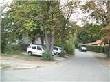 2
2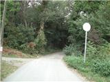 3
3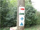 4
4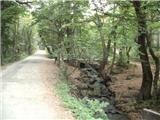 5
5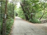 6
6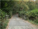 7
7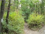 8
8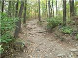 9
9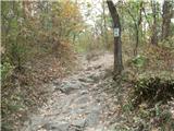 10
10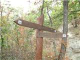 11
11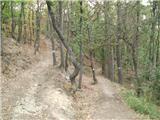 12
12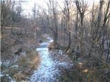 13
13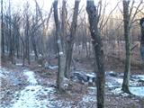 14
14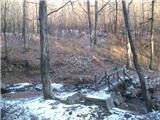 15
15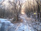 16
16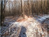 17
17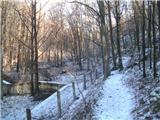 18
18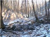 19
19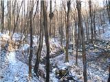 20
20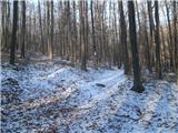 21
21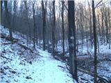 22
22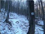 23
23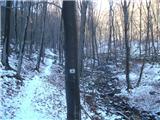 24
24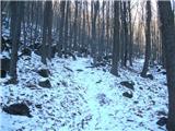 25
25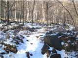 26
26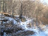 27
27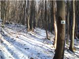 28
28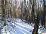 29
29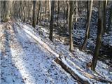 30
30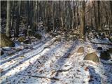 31
31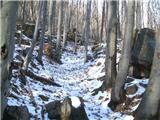 32
32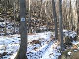 33
33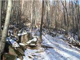 34
34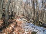 35
35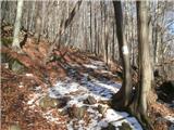 36
36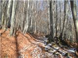 37
37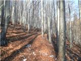 38
38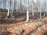 39
39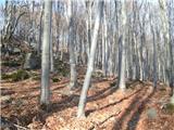 40
40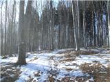 41
41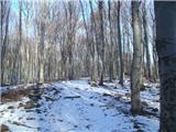 42
42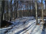 43
43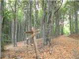 44
44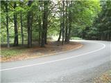 45
45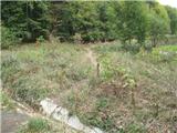 46
46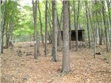 47
47 48
48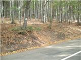 49
49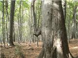 50
50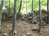 51
51 52
52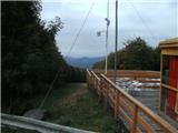 53
53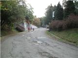 54
54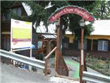 55
55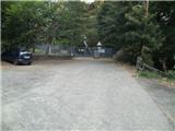 56
56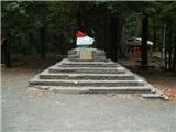 57
57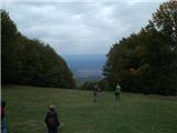 58
58
Discussion about the trip Matrafüred - Kékestető (pot modri trikotnik)
To post a comment you must log in:
If you do not yet have a username, you must first
register.