Matrafüred - Kékestető (red path via Peresberc in Negyeshatar)
Starting point: Matrafüred (350 m)
| Latitude/Longitude: | 47,83050°N 19,96730°E |
| |
Route name: red path via Peresberc in Negyeshatar
Walking time: 2 h 45 min
Difficulty: easy marked way
Elevation gain: 664 m
Elevation difference along the route: 675 m
Map:
Recommended equipment (summer):
Recommended equipment (winter):
Views: 1.891
 | 2 people like this post |
Access to starting point:
From Budapest, drive east on the motorway towards the city of Nyiregyhaza. After approximately 90 kilometers, exit the motorway at the Gyöngyös/Matrafüred exit. Continue to the town of Gyöngyös, then at the marked intersection continue north towards Matrafüred. Upon arriving in the mentioned place, turn left into the first street (Beke ut), where you park.
Route description:
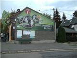
The trail starts at the main intersection in Matrafüred, where the sports mountaineering base (Hegyes sportok bazisa) and bus station (Palyaudvar) are also located. We descend downhill and notice the first markings at the electric pole. The trail leading us to our goal is marked with a red line.
The trail enters the forest and after a few meters we go right over a small bridge across the Somor stream (straight ahead the blue cross and blue triangle trails continue). Our trail turns slightly south, then after the rest area it begins to steeply ascend on rocky terrain through thinned forest. Upon reaching the forest entrance, the trail flattens and gradually becomes a wider cart track, leading to a wider forest road which we first cross, then follow for some time until reaching the Csepegő spring. Here the green trail continues ahead, while we cross the Csurgo stream and then quickly and steeply ascend to the high plain of Peresberc (crossing a forest cart track during the ascent).
Upon reaching Peresberc, the trail flattens and turns north. Typical for this high plain is very sparse forest, and we are rewarded with exceptional views along the trail. After some time, we reach the entrance to a low and very dense forest where we walk for a while. The trail gradually turns east and becomes steeper, leading us to the Vadfőld meadow (hunting field). Here we enter the forest again.
Through the forest, we ascend a slightly steep path. Some junctions are well marked, including crossing one wider forest road. After this crossing, the trail becomes steeper, but only up to the next wider road. From there an unofficial steep shortcut goes ahead, but we walk parallel to the road for a while. Then we cross it and re-enter the forest.
After the crossing, the trail remains steep for a while longer, then follows the only poorly marked junction. One must go right on a level path through the forest, though straight steeply uphill seems logical. The trail ahead is level for some time then ascends somewhat steeper, bringing us near the summit of Negyeshatar, where there is a small shelter and junction. From the right, an unofficial trail from the settlement Markaz joins, left leads to the Valyus kut spring, we continue straight.
Now the trail begins to ascend quite steeply. On this slope, the unofficial shortcut rejoins us. After some time, or at an interesting tree, the steepness eases slightly. We also cross a turning loop of a forest road. Here we are on the summit slope of Matra, with a belt of spruce forest to our right. A bit further, the steepness ends and the trail flattens.
We continue west on a level trail that quickly becomes a cart track. From the left, we also bypass the indistinct rocky summit of Pezső kő, the second highest Hungarian peak. We reach a junction where the yellow circle trail branches off (the trail leading in a minute to the Diszno kut spring (Pig spring), the highest-lying natural spring in Hungary). After the junction follows another where the green trail joins (the one that branched at the Csepegő spring). After this junction, our trail leaves the wider cart track left onto a narrower path (a pension visible to our right). The narrower path leads into the spruce forest belt and finally to the asphalt path along the sanatorium fence.
At the junction, we cross the road and through the forest return to it. At the next junction, go towards the sanatorium but only for a minute then left onto stairs leading to the TV tower fence. Here the blue trail from Matrafüred joins us. One more minute of walking and we are at the sculpture on Hungary's highest peak.

Photos:
 1
1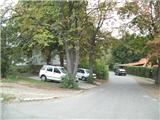 2
2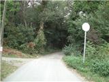 3
3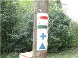 4
4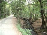 5
5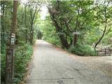 6
6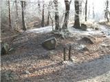 7
7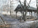 8
8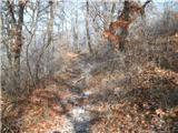 9
9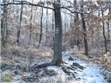 10
10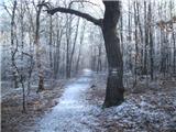 11
11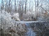 12
12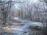 13
13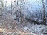 14
14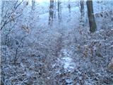 15
15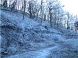 16
16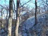 17
17 18
18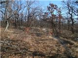 19
19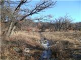 20
20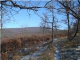 21
21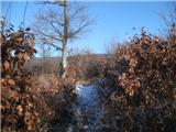 22
22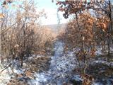 23
23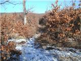 24
24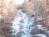 25
25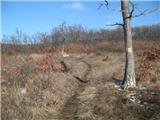 26
26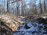 27
27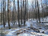 28
28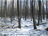 29
29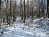 30
30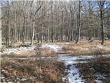 31
31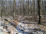 32
32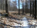 33
33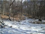 34
34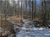 35
35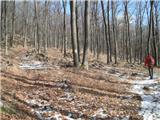 36
36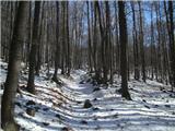 37
37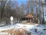 38
38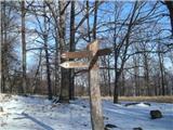 39
39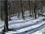 40
40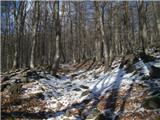 41
41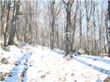 42
42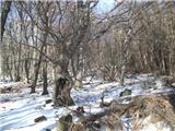 43
43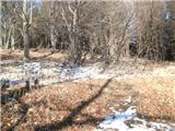 44
44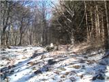 45
45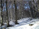 46
46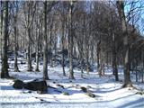 47
47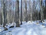 48
48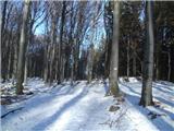 49
49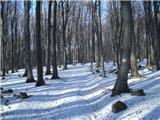 50
50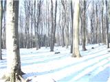 51
51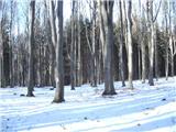 52
52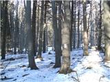 53
53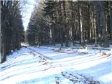 54
54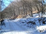 55
55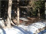 56
56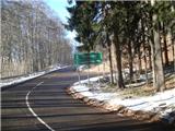 57
57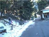 58
58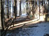 59
59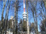 60
60 61
61 62
62
Discussion about the trip Matrafüred - Kékestető (red path via Peresberc in Negyeshatar)
To post a comment you must log in:
If you do not yet have a username, you must first
register.