Medvodje - Veliki vrh above Komatevra
Starting point: Medvodje (898 m)
| Latitude/Longitude: | 46,40960°N 14,40160°E |
| |
Walking time: 2 h 45 min
Difficulty: easy pathless terrain
Elevation gain: 736 m
Elevation difference along the route: 765 m
Map: Karavanke - osrednji del 1:50.000
Recommended equipment (summer):
Recommended equipment (winter): ice axe, crampons
Views: 4.729
 | 1 person like this post |
Access to starting point:
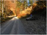
From the highway Ljubljana - Jesenice, we take the Podnart (Ljubelj) exit, then continue driving on the fast road towards Ljubelj and Tržič. When the fast road ends, we will notice a gas station on the right side, in front of which we turn right downwards towards Tržič. Further, we drive through Tržič, and we follow the narrower road towards the gorge Dovžanova soteska and then through the villages Dolina and Jelendol to the hamlet Medvodje. Here at the first crossroad we continue right in the direction of the waterfall Stegovniški slap (left Košutnik and mountain pasture Dolga njiva), and in the second crossroad left by the river Tržiška Bistrica (right waterfall Stegovniški slap). Further, we gently ascend by the upper course of Tržiška Bistrica, and we follow the road to a marked parking lot, where we park.
Route description:
From the parking lot, we continue on a gently sloping road which ascends by the river Tržiška Bistrica. Soon we arrive at a gate, behind which we step onto an unmarked crossroad. Here we continue on the right road, which starts ascending by the stream Fevča, which we leave at the first sharp right turn. From the road, which becomes somewhat steeper, a temporary view opens up on Košutnikov turn, then it turns left and crosses a belt of forest. The road then, with a view on Dobrča and nearby Stegovnik, brings us to the next crossroad, where we continue straight (the right road ends in nearby forests). We continue walking on the road and after a few minutes arrive at the next crossroad. This time we continue left (straight connecting road, which leads towards the slopes below Konjščica, the right road quickly ends) on a gradually more panoramic road which crosses the slopes towards the left. At the next crossroad we continue sharply right and ascend through the forest to the next crossroad, where we continue left. The road then becomes somewhat steeper and soon brings us to the place where a cart track branches off to the right towards the saddle Pri lojtri, here we continue straight and continue the path on the road. Higher the road gradually levels out, then brings us to a smaller indistinct saddle, where slightly to the right a initially somewhat wider cart track branches off, on which we continue the ascent. At the first fork of the cart track we continue right and turn semicircularly towards the left on it. Somewhat further the cart track ends, and we continue the ascent on a forested ridge, where we encounter an old wire fence. Further we ascend along the mentioned wires, which lead us on and along the ridge. Higher we bypass a relatively steep forepeak on the left side, the "path" even descends somewhat on this section. The slope then becomes quite steep again, and during the entire ascent we follow the already known old wire fence, along which we ascend to the summit of Veliki vrh.

Photos:
 1
1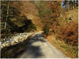 2
2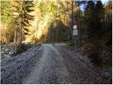 3
3 4
4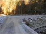 5
5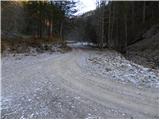 6
6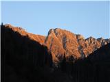 7
7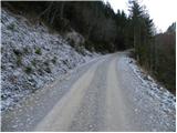 8
8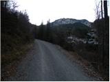 9
9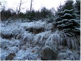 10
10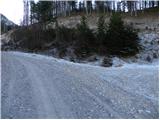 11
11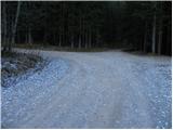 12
12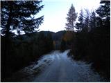 13
13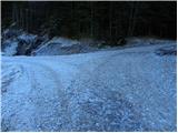 14
14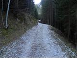 15
15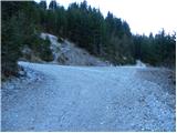 16
16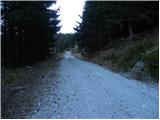 17
17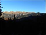 18
18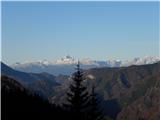 19
19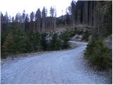 20
20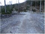 21
21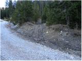 22
22 23
23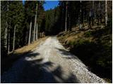 24
24 25
25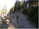 26
26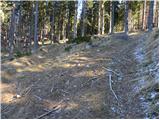 27
27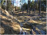 28
28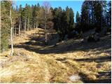 29
29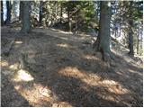 30
30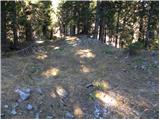 31
31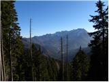 32
32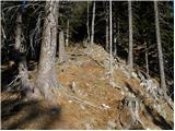 33
33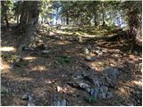 34
34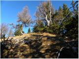 35
35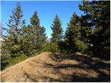 36
36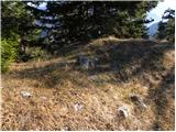 37
37 38
38
Discussion about the trip Medvodje - Veliki vrh above Komatevra
To post a comment you must log in:
If you do not yet have a username, you must first
register.