Mekinje nad Stično - Pristava above Stična
Starting point: Mekinje nad Stično (463 m)
| Latitude/Longitude: | 45,96300°N 14,81830°E |
| |
Walking time: 1 h 5 min
Difficulty: easy marked way
Elevation gain: 231 m
Elevation difference along the route: 245 m
Map:
Recommended equipment (summer):
Recommended equipment (winter):
Views: 8.204
 | 1 person like this post |
Access to starting point:
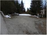
From the highway Ljubljana - Novo Mesto, we go to the exit Ivančna Gorica, and then we follow the road in the direction of Stična. In Stična, at the crossroad opposite the monastery we continue slightly right and then we drive in the direction of Pristava nad Stično. In the settlement Mekinje we will notice signs for mountain hut Lavričeva koča, which point us to the right on a slightly narrower road. The road at first ascends a little and then descends and it brings us to a smaller crossroad, where we continue right and then after a few meters we park on a marked and nicely arranged parking lot.
Route description:
From the parking lot, we at first walk to a crossroad, and then we continue on the bottom road (not on the road on which we came and not on the ascending road in the direction of the mountain hut Lavričeva koča), which is barely descending. After a few minutes, the road passes into the forest, where we then soon notice the first signs for Pristava. Here we continue left (right - mountain hut Lavričeva koča) and we continue on a cart track which is gently ascending through the forest. A well-marked path higher brings us to an asphalt road, where we also step out of the forest. The road ahead leads through Dobrava pri Stični, and at the crossroad in the middle of the village, we continue right in the direction of Pristava. The road which is all the time slightly to moderately ascending, higher brings us to the village Pristava nad Stično. Here we will on one of the houses notice an inscription "Pristava 695m žig B.K.P.", and here we continue slightly right (straight on a cart track - sv. Lambert) and we follow the road all the way to its end at Partizanski dom. From the end of the road, we continue left and in a few dozen strides we ascend to the highest point.

Along the route: Dobrava pri Stični (570m)
Photos:
 1
1 2
2 3
3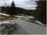 4
4 5
5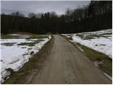 6
6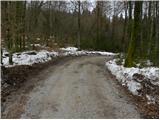 7
7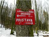 8
8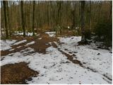 9
9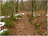 10
10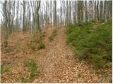 11
11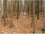 12
12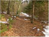 13
13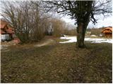 14
14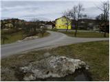 15
15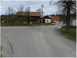 16
16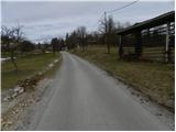 17
17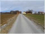 18
18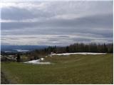 19
19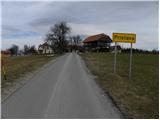 20
20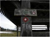 21
21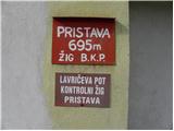 22
22 23
23 24
24 25
25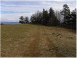 26
26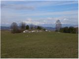 27
27 28
28
Discussion about the trip Mekinje nad Stično - Pristava above Stična
|
| Šuška11. 02. 2017 |
Just to say that there is no stamp at the house in photo No. 22.
|
|
|
|
| ford20112. 07. 2018 |
I would like to report that at the above-mentioned supposedly well-maintained parking lot, they break into cars. We were 3 families and they damaged our cars during the break-in attempt.
|
|
|
To post a comment you must log in:
If you do not yet have a username, you must first
register.