Mežica - Koča na Naravskih ledinah (via Sveti Lenart)
Starting point: Mežica (495 m)
| Latitude/Longitude: | 46,51840°N 14,85550°E |
| |
Route name: via Sveti Lenart
Walking time: 3 h 45 min
Difficulty: easy marked way
Elevation gain: 577 m
Elevation difference along the route: 825 m
Map: Koroška 1:50.000
Recommended equipment (summer):
Recommended equipment (winter): ice axe, crampons
Views: 838
 | 1 person like this post |
Access to starting point:
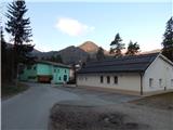
A) From Ravne na Koroškem or through the border crossing Holmec we drive to Mežica, where at the beginning of the settlement we turn left towards the Tuš store, sports park and music house. After the Tuš store and before the retirement home we turn left in the direction of the settlement Leše. After the crossroad we cross the Meža River, after the bridge we already notice the first red mountain trail markers, which direct us to the right. A little further we arrive at the next crossroad, where the signs for Uršlja gora point left, and we turn right, where we park by the sports ground and music homes.
B) From Črna na Koroškem we drive to Mežica, where in the center of the settlement we turn right towards the sports park, at the next crossroad we go left. We drive through the place for some time, then behind the retirement home we turn right in the direction of Leše. After the crossroad we cross the Meža River, after the bridge we already notice the first red mountain trail markers, which direct us to the right. A little further we arrive at the next crossroad, where the signs for Uršlja gora point left, and we turn right, where we park by the sports ground and music homes.
Route description:
From the starting point we return to the marked crossroad, then we continue on the ascending road in the direction of Naravske ledine, Uršlja gora and KPP (Koroška planinska pot). At the joinery Peršak we continue straight onto the macadam road, which takes us into the forest and turns into a mountain path that continues along the torrent. A little further on the right we notice a wooden footbridge, but we continue straight and remain on the right bank of the torrent for some time. A few minutes further we cross the torrent, then at several successive junctions we carefully follow the blazes. Higher at the crossroad we reach an asphalt road, but we continue on the left road along which the KPP blazes continue. We walk along the road for a few minutes, from which a nice view towards Peca opens up temporarily, then we continue right into the forest, where we walk along the cart track. The cart track brings us out of the forest higher up, then through the yard of the nearby homestead we reach the next asphalt road, which we merely cross. There follows an ascent across a scenic hay meadow, then the path turns slightly left into the forest. We walk through the forest only briefly, as we soon reach the macadam road, which we follow to the right (left to Volinjak, Leški cerkvi, Leše...). The path ahead leads past the Andrej homestead, then continues first along the western side, then along the southern side of Andrejev vrh. Before the Najevnik homestead we reach a small saddle, beside which there is a chapel (at the chapel the path to Andrejev vrh branches left), but we continue along the macadam road.
Further the road leads us past the homesteads Najevnik, Danev, Predovnik to the Kajžar homestead (at the Kajžar homestead the path to the nearby church of St. Lenart branches off), which we bypass along the lower right side. The path ahead leads along the forest road, which soon forks, and we choose the upper road (the lower one leads towards the Krajnc homestead). For a few minutes we continue ascending diagonally across the slopes of the peak Jankovec (1200 m), then we reach a small valley between the aforementioned peak on the left and Kranjčev vrh (1227 m) on the right.
At the start of the aforementioned valley the path to Šahmanova koča branches right, but we continue along the left road, which brings us out of the forest onto a kind of pasture. When the path returns to the forest a little further on, at the saddle between the previously mentioned peaks we notice one of the rare mountain signposts (along the path there are mainly rare, old and partly faded blazes).
We continue in the direction of Uršlja gora along the road, which begins to descend. After crossing a more pronounced torrent we arrive at the slopes of the peak Stribovc (1151 m), where the road forks. We continue along the right road (left to "homestead" Macigoj and Barbarski graben), which continues descending, but we follow it to "gladovna voda". After the small permanent spring we leave the road and continue the ascent right onto the cart track in the direction of the Obretan homestead, Uršlja gora and Naravske ledine. The cart track soon forks again, but from the junction we continue along the upper right cart track (slightly left to bivak Suška bajta 1 minute). After a short ascent we reach the northern ridge of Suški vrh, where the path past Suška bajta joins from the left, but we continue along the path that leads onto the steep slopes of Suški vrh (area named Suški plazi), where there is a danger of snow avalanches and slipping in snow. We first cross the aforementioned slopes, then ascend diagonally and higher reach the eastern forest-covered ridge of Suški vrh, where the path from the hunting cottage Dukles and the western capercaillie lek joins from the right.
We continue straight ahead, initially slightly downhill, then with views reaching as far as Golica / Koralpe we reach the Obretan homestead (Obretanovo), where the better-marked path from Leše also joins from the left and where the Taborniški dom roda koroških jeklarjev Obretanovo is located.
We continue along the road, which after the barrier brings us to a marked junction, but we take the second path right, onto the path that ascends and does not descend, beside which we notice the sign Godec. The path ahead leads without major ascents and descents and soon brings us to the road, where the path forks, but the junction is not specially marked.
We continue right along the forest road (straight along the ascending cart track to the Godec farm and Uršlja gora via Kozji hrbet), from which the signs for Naravske ledine soon direct us left uphill onto the footpath, where we then follow the blazes. When walking along the cart track that crosses the slopes, we must continue right downhill before its end and then cross the slopes along the mountain path. There follows a short crossing of steeper slopes, then we descend back onto the forest road via steps made of logs (until here we can also walk along the forest road). We soon leave the road again, from which some views open up temporarily, and continue left onto the path that across a small hill "cuts" a somewhat longer road bend.
Just before we return to the road, which we then merely cross, a marked path from Ravne na Koroškem (path past Prežihova bajta) also joins from the left. On the other side of the road we continue briefly through the forest, then the path leads along the lower edge of the meadow, where we join the path from Žerjav.
From the junction we continue further along the right edge of the meadow, then after 5 minutes of moderate ascent we walk to the Koča na Naravskih ledinah.
Description and pictures refer to the condition in 2017 (March).

Along the route: Taborniški dom roda koroških jeklarjev Obretanovo (1040m)
Photos:
 1
1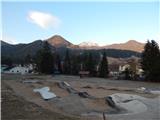 2
2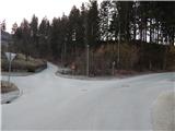 3
3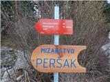 4
4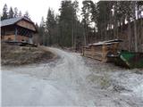 5
5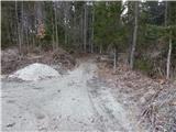 6
6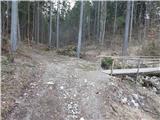 7
7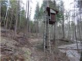 8
8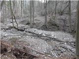 9
9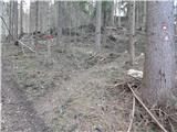 10
10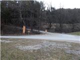 11
11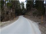 12
12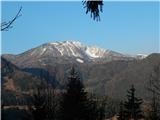 13
13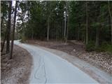 14
14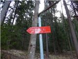 15
15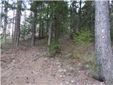 16
16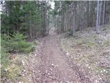 17
17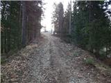 18
18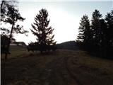 19
19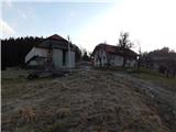 20
20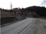 21
21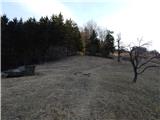 22
22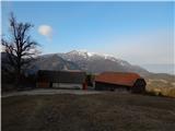 23
23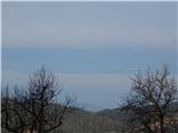 24
24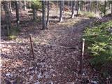 25
25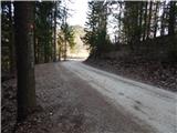 26
26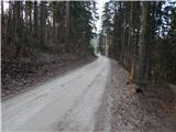 27
27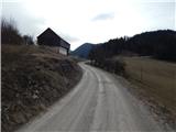 28
28 29
29 30
30 31
31 32
32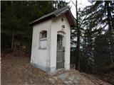 33
33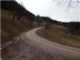 34
34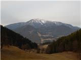 35
35 36
36 37
37 38
38 39
39 40
40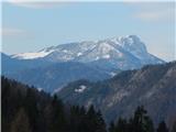 41
41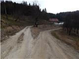 42
42 43
43 44
44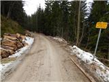 45
45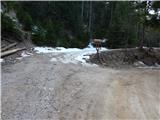 46
46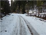 47
47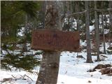 48
48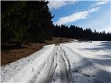 49
49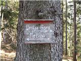 50
50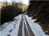 51
51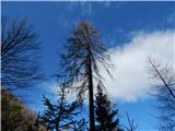 52
52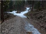 53
53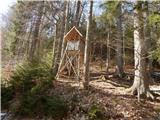 54
54 55
55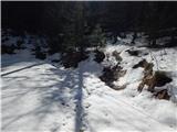 56
56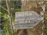 57
57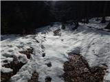 58
58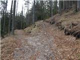 59
59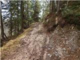 60
60 61
61 62
62 63
63 64
64 65
65 66
66 67
67 68
68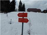 69
69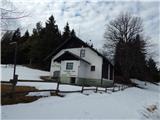 70
70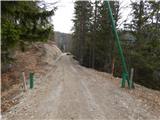 71
71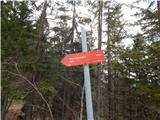 72
72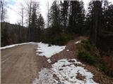 73
73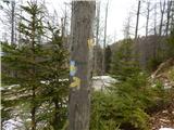 74
74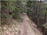 75
75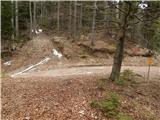 76
76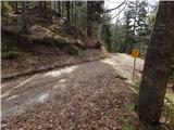 77
77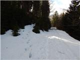 78
78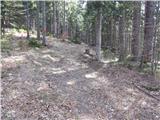 79
79 80
80 81
81 82
82 83
83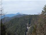 84
84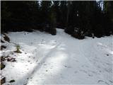 85
85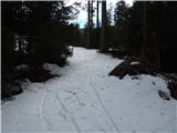 86
86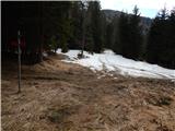 87
87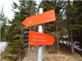 88
88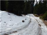 89
89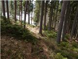 90
90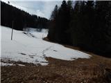 91
91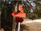 92
92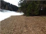 93
93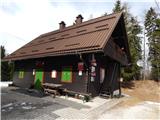 94
94
Discussion about the trip Mežica - Koča na Naravskih ledinah (via Sveti Lenart)
To post a comment you must log in:
If you do not yet have a username, you must first
register.