MHE Zabukovec - Dom na Kališču
Starting point: MHE Zabukovec (767 m)
| Latitude/Longitude: | 46,38000°N 14,44640°E |
| |
Walking time: 3 h 5 min
Difficulty: easy marked way
Elevation gain: 767 m
Elevation difference along the route: 870 m
Map: Karavanke - osrednji del 1:50.000
Recommended equipment (summer):
Recommended equipment (winter): ice axe, crampons
Views: 1.010
 | 1 person like this post |
Access to starting point:
First, drive to Preddvor or to the settlement of Tupaliče (to here from the Gorenjska motorway or Kranj), then continue driving towards Jezersko. Upon arriving in the Jezersko municipality, you will soon notice signs for Gostišče Kanonir. Behind the guesthouse, turn left onto the road towards Dol - Podstoržič and the Kovk farmstead. Continue on a somewhat narrower road that leads past more houses, then after a few hundred meters of further driving, reach a junction where a steep road branches off to the left, along which the marked path to Kozji vrh also continues. Here, continue straight ahead, then at the next junction slightly left towards Storžič and Kališča (slightly right Stegovnik). A little further, the road passes the small Zabukovec hydroelectric power plant, then you quickly arrive at the spot with a traffic sign stating that further driving is prohibited from July 20 to October 20 due to forestry works. Park at the small marked parking area just before the road closure. For more information on road accessibility, call 04/25-45-300 (ZGS KE Jezersko - Kokra).
Route description:
From the starting point, continue along the road that leads past the barrier and continues along the Reka stream, which flows through the Podstoržič valley. The stream features several waterfalls, rapids, pools and some side tributaries, from our path some larger waterfalls are also visible. Higher up, a marked path to Javorniški preval branches off to the right, but we continue straight towards Storžič and follow the road to the right-hand bend, where a cart track branches straight ahead towards Bašeljski preval, Kališče and Storžič.
We continue briefly along the wider cart track (vlaki), then slightly left onto a narrower cart track, from which we soon turn right onto the marked footpath that higher up crosses the aforementioned cart track several more times. The path then leads above the left bank of a mighty torrent gully, where a pleasant bench with a viewpoint on the torrent awaits along the path; if we look to the other side, we can spot several waterfalls in one of the gorges that dry up on dry days. From here, the path ascends quite steeply for a few more minutes, then gradually levels out and takes us a little higher to Praprotnikova koča, located at the edge of a small clearing.
Past the hut, continue on the marked path, which begins to ascend steeply again, then temporarily levels out at a boulder. Beyond the boulder, the path temporarily enters the torrent bed, then starts ascending transversely to the right. A steeper ascent follows through fairly picturesque terrain, offering nice views of the surrounding mountains. Upon entering the scrub belt, a path branches off to the right leading under or along the slopes of Storžič towards the aforementioned Javorniški preval, but we continue straight and arrive at the junction at Bašeljski preval in a few minutes.
At the signposts at Bašeljsko sedlo, head left towards Kališče (right Storžič) and continue past the junction for the path to Bašeljski vrh. From here, the path first ascends slightly along the slopes of Bašeljski vrh, then descends transversely. After a few minutes of descent, reach a marked junction where another path to Bašeljski vrh branches off to the left, and from the right the path from Bašelj joins. Continue straight and reach Planinski dom na Kališču in a few minutes of pleasant ridge walking.
Starting point - Jekarica 1:00, Jekarica - Praprotnikova koča 1:10, Praprotnikova koča - junction below Bašeljski preval 0:30, junction below Bašeljski preval - Bašeljski preval 0:10, Bašeljski preval - junction above Kališče 0:10, junction above Kališče - Dom na Kališču 0:05.

Photos:
 1
1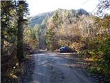 2
2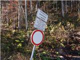 3
3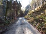 4
4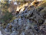 5
5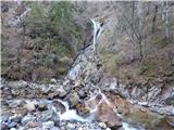 6
6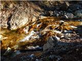 7
7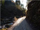 8
8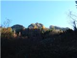 9
9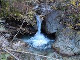 10
10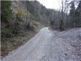 11
11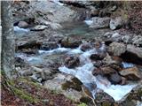 12
12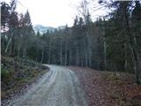 13
13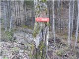 14
14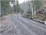 15
15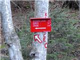 16
16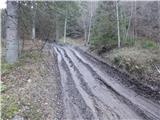 17
17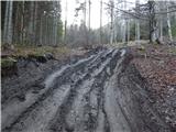 18
18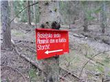 19
19 20
20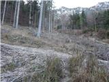 21
21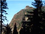 22
22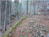 23
23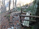 24
24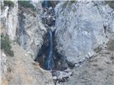 25
25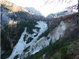 26
26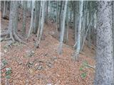 27
27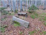 28
28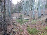 29
29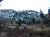 30
30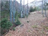 31
31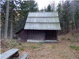 32
32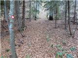 33
33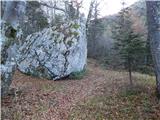 34
34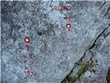 35
35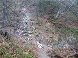 36
36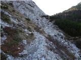 37
37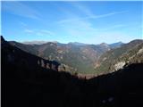 38
38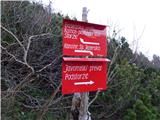 39
39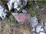 40
40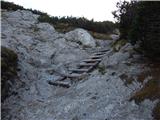 41
41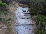 42
42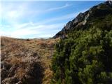 43
43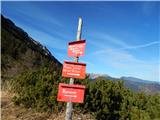 44
44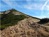 45
45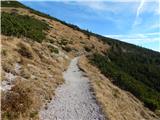 46
46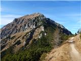 47
47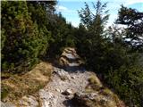 48
48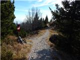 49
49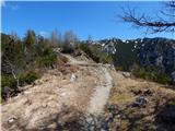 50
50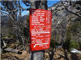 51
51 52
52
Discussion about the trip MHE Zabukovec - Dom na Kališču
To post a comment you must log in:
If you do not yet have a username, you must first
register.