Mislinja - Fričev vrh (via Završe)
Starting point: Mislinja (598 m)
| Latitude/Longitude: | 46,44270°N 15,19240°E |
| |
Route name: via Završe
Walking time: 2 h
Difficulty: easy marked way
Elevation gain: 283 m
Elevation difference along the route: 350 m
Map: Pohorje 1:50.000
Recommended equipment (summer):
Recommended equipment (winter):
Views: 3.835
 | 2 people like this post |
Access to starting point:
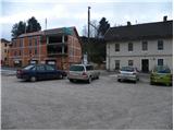
A) From the Ljubljana - Maribor highway take the Žalec exit, then continue driving towards Velenje. At the main roundabout in Velenje continue right (direction Dravograd and Slovenj Gradec), then follow the main road to Mislinja, where we park at one of the parking lots (we can park on the macadam parking lot at the intersection where the road branches off to the right into Mislinjski graben or near the main bus station).
B) From Koroška we first drive to Slovenj Gradec, then continue driving towards Velenje. When we arrive in Mislinja we park at the parking lot next to the main bus station, or a little further on the macadam parking lot at the turn-off of the road into Mislinjski graben.
Route description:
Next to the main bus station in Mislinja we notice mountain signposts for Črepič, which direct us onto the old railway track (today a cycling path) towards Dravograd. Initially we walk on or beside the cycling path, then we arrive at a marked junction, where the path to Završe branches off to the left. We continue on the mentioned path (straight Črepič), which continues on an ascending macadam road. The road soon brings us to a smaller hamlet, then for a short time continues through the forest, where it soon brings us to its end at the lonely farm.
We continue past the farm and the path continues in the same direction, only now we walk on a cart track, which higher up changes into a footpath. On a smaller forest clearing we come to a smaller junction, where signs for Obrul direct us right, but we continue straight on the marked path, which a few metres later turns right and then begins to descend noticeably. The path soon flattens, then brings us in a moderate ascent to a fenced house. We bypass the mentioned house on the left side between the fences, behind which we step onto an asphalt road, which past the tennis court we follow uphill. For some time we continue on the mentioned road, then slightly above the hamlet, at the edge of which stands a chapel with several saints, we continue left onto a wide cart track or worse road, along which past a few houses we ascend to the church of St. Vid on Završe.
We bypass the church on the right side and continue the path past the NOB monument, at which we step onto an asphalt road. We continue on the mentioned road, which at a few smaller intersections we follow in the direction of St. Rupert. The path further leads us past the hunting lodge, behind which we quickly arrive at the inn Meh and the church of St. Rupert above it.
From the church we still continue in the same direction and continue the path on a panoramic road, which approaches the forest and turns right, where it gradually begins to descend. The road, which mostly descends gently, continues for some time through the forest, then brings us to an intersection of several roads. Here we continue straight, the road we follow only briefly, as the markers then direct us left onto a marked path, which continues on an ascending cart track. Already after a short ascent we step out of the forest onto a panoramic hayfield, across which with nice views we walk to its other side. Here we step into the forest again, and follow the gradually steeper path to Fričev vrh, which we reach after a 10-minute ascent.

Photos:
 1
1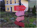 2
2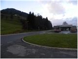 3
3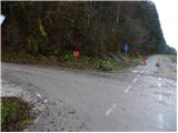 4
4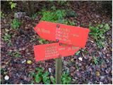 5
5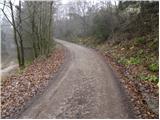 6
6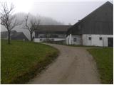 7
7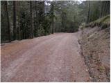 8
8 9
9 10
10 11
11 12
12 13
13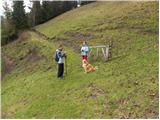 14
14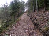 15
15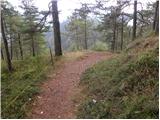 16
16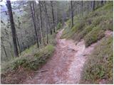 17
17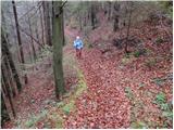 18
18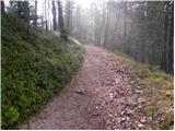 19
19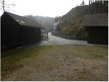 20
20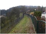 21
21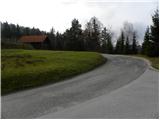 22
22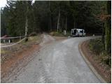 23
23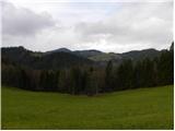 24
24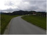 25
25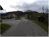 26
26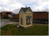 27
27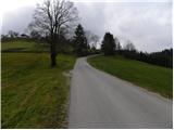 28
28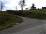 29
29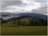 30
30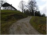 31
31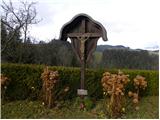 32
32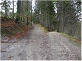 33
33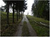 34
34 35
35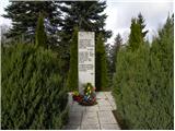 36
36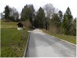 37
37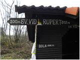 38
38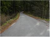 39
39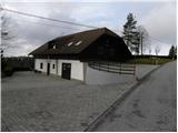 40
40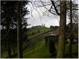 41
41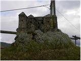 42
42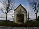 43
43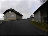 44
44 45
45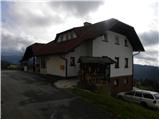 46
46 47
47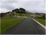 48
48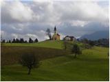 49
49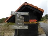 50
50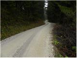 51
51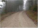 52
52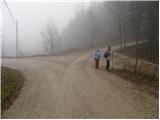 53
53 54
54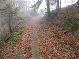 55
55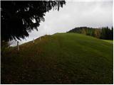 56
56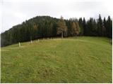 57
57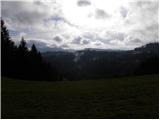 58
58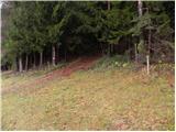 59
59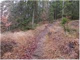 60
60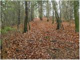 61
61 62
62
Discussion about the trip Mislinja - Fričev vrh (via Završe)
To post a comment you must log in:
If you do not yet have a username, you must first
register.