Mislinja - Ostruščica (via Tolsti Vrh)
Starting point: Mislinja (598 m)
| Latitude/Longitude: | 46,44190°N 15,19560°E |
| |
Route name: via Tolsti Vrh
Walking time: 4 h 15 min
Difficulty: easy marked way
Elevation gain: 900 m
Elevation difference along the route: 990 m
Map: Pohorje 1:50.000
Recommended equipment (summer):
Recommended equipment (winter):
Views: 1.590
 | 2 people like this post |
Access to starting point:
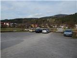
From Slovenj Gradec or Velenje we drive to Mislinja, where we park on a parking lot by the crossroad for Mislinjski Jarek.
Route description:
From the starting point, we first carefully cross the side road, then walk for a short time on the sidewalk in the direction towards Velenje. We quickly arrive at a crossroad, where signs for Rogla and Tolsti vrh direct us left onto a side road, which gradually starts to ascend. Soon after Mislinja ends, the road leads us under the ski jumps, a little further on a wonderful view opens up onto Mislinja, Uršlja gora and part of Peca. A little further we arrive at a smaller crossroad, from which we continue straight in the direction of the marked path to Rogla (right homestead Turjak, we can also arrive at Dolič). Soon after the mentioned crossroad, the blazes direct us right onto a footpath, which starts to ascend through the forest. After a short ascent we reach an old cart track, follow it to the left, then on an indistinct forested ridge we continue right onto a temporarily steeper path. When we reach the next cart track, the path flattens, and we also follow this cart track to the left. The path further leads us past a spring, then at several junctions we follow the blazes. After a few minutes we return to an asphalt road, along which past homestead Vivod (the homestead is located somewhat to the right of the main road) we arrive at a panoramic slope, from which a nice view opens towards the surrounding hills. We walk for a short time with nice views, then signs for Rogla direct us left into the forest. Through the forest we again follow the blazes, then return to an asphalt road, which we reach right at the protective fence that we must cross. We do not walk long on the road, as the blazes again lead us left onto a footpath. When we return to the road, we walk along it to the first crossroad, from which we continue onto a cart track that runs between both roads (if we continue straight we arrive at homestead Vovk, right leads the road to homesteads Lemeš, Gros, Pačnik...). An ascent through the forest follows, and the path quickly brings us to an indistinct ridge, where the forest ends on the right side. We continue walking above homestead Gros and for a short time continue on a wider cart track, but the blazes quickly direct us slightly left onto an older cart track. Crossing a stream follows, then after a shorter further crossing we arrive out of the forest.
We continue left upwards along the pasture fence, and when we reach the macadam road we continue right to the nearby homestead Vetrih, at which we continue left upwards. Higher we reach a second macadam road, which we follow to the right, then before homestead Francuh we continue along the upper road. We walk a few more minutes along the road, then go slightly left onto a marked footpath, which gradually moves away from the road. We bypass the nearby pasture of homestead Matic on the left side, then cross a macadam road once again.
Further on, walking on roads ends for some time, and the path leads us along a cart track ascending through the forest. When the forest ends we arrive below the summit of Volovica (1455 m), where on the meadows the path temporarily disappears. Across the meadows we continue towards the east, perhaps slightly north, then at the indistinct summit of Volovica the path becomes distinct again.
The path ahead leads us through the plateau-like terrain of Pohorje and continues with some shorter ascents and descents. Occasionally quite swampy, the path then leads us south of the indistinct summit Turn (1463 m), behind the mentioned summit we soon reach path PP7, where the path to Lukov slap branches off to the left.
We continue straight ahead, still along the occasionally swampy path, then a light ascent follows to the indistinct summit Kraguljišče (1454 m).
A light descent follows, then from the right another marked path from Vitanje joins us. Some 10 meters further we also reach an asphalt road leading from Zreče towards Rogla, and along its edge we ascend all the way to the large parking lot at the ski area Rogla, or hotel Planja.
From the parking lot we continue in the direction of Ostruščica and Lovrenška jezera, along the path which brings us in a few steps to the upper station of the 4-seater chairlift. By the chairlift we descend to the nearby asphalt road, which we follow a few steps to the left, then continue right in the direction of Lovrenška jezera. Walking on a gently sloping meadow follows, then we join a cart track along which we walk to the indistinct summit of Ostruščica.
Mislinja - hotel Planja 4:00, hotel Planja - Ostruščica 15 minutes.

Along the route: Tolsti Vrh pri Mislinji (841m), Volovica (1455m), Kraguljišče (1454m), Hotel Planja (1474m)
Photos:
 1
1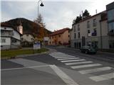 2
2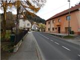 3
3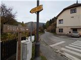 4
4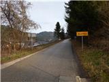 5
5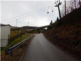 6
6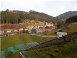 7
7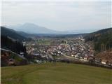 8
8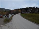 9
9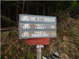 10
10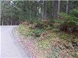 11
11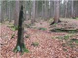 12
12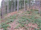 13
13 14
14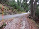 15
15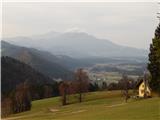 16
16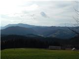 17
17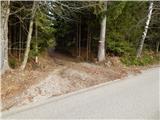 18
18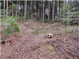 19
19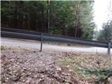 20
20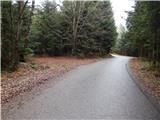 21
21 22
22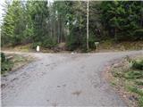 23
23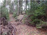 24
24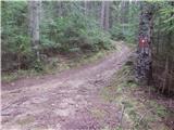 25
25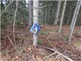 26
26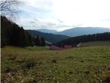 27
27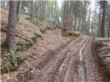 28
28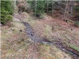 29
29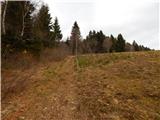 30
30 31
31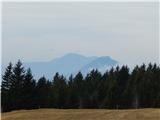 32
32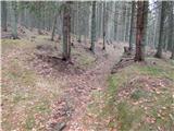 33
33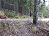 34
34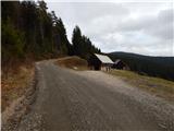 35
35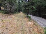 36
36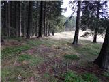 37
37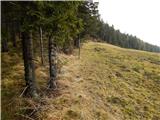 38
38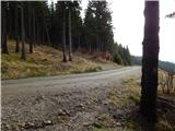 39
39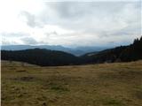 40
40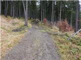 41
41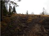 42
42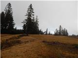 43
43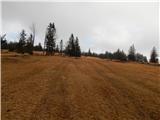 44
44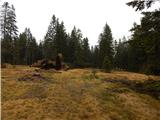 45
45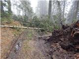 46
46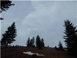 47
47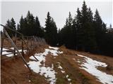 48
48 49
49 50
50 51
51 52
52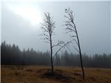 53
53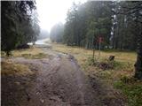 54
54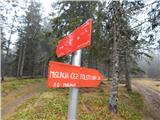 55
55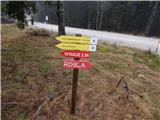 56
56 57
57 58
58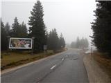 59
59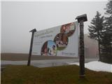 60
60 61
61 62
62 63
63 64
64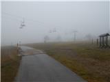 65
65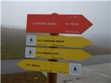 66
66 67
67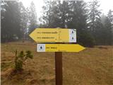 68
68 69
69 70
70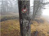 71
71 72
72 73
73 74
74
Discussion about the trip Mislinja - Ostruščica (via Tolsti Vrh)
To post a comment you must log in:
If you do not yet have a username, you must first
register.