Mislinjski graben (Pestotnik) - Ostruščica
Starting point: Mislinjski graben (Pestotnik) (846 m)
| Latitude/Longitude: | 46,46740°N 15,26940°E |
| |
Walking time: 2 h 30 min
Difficulty: easy unmarked way
Elevation gain: 652 m
Elevation difference along the route: 652 m
Map: Pohorje 1:50.000
Recommended equipment (summer):
Recommended equipment (winter):
Views: 1.660
 | 2 people like this post |
Access to starting point:
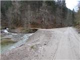
First, we drive to Mislinja (to here from Slovenj Gradec or Velenje), and then we continue driving in the direction of Mislinjski Jarek. When Mislinja ends, the road still leads by the river Mislinja. Higher, by the confluence of Glažuta and Mislinja, there is a crossroad by which we park. The homestead Pestotnik is located a little above the confluence; before the crossroad there is a smaller dam. In summer and when there is no snow, we can drive further and optionally shorten the path.
Route description:
From the confluence we continue on the right road, which continues to ascend by the river Mislinja. Already after a few dozen meters a rougher road towards the homestead Pestotnik branches off to the left, and we continue straight and still moderately ascend. Higher we arrive at the next, this time marked crossroad, from where we continue straight in the direction of Rogla and Komisije (the right road leads towards Tolsti Vrh above Mislinja). Soon after the crossroad the road turns sharply to the left and gradually distances itself from the river Mislinja; a little higher it brings us out of the forest to Spodnja Komisija, where there is a crossroad at a few small houses, from which we continue right (straight Glažuta). Spodnja Komisija soon ends, and the road continues to ascend transversely towards the right. At the left bend the path PP7 joins us from the right, and we walk along the road to the former shepherd village Zgornja Komisija, where we also leave the wider macadam road and continue right with the path onto a narrower road that leads through the village to the last house.
From the last cottage, by which there is also an arranged trough with water, we continue on the cart track that goes into the forest. After a short ascent the cart track splits, and we choose the upper left cart track (straight Lukov slap 5 minutes). Several forks follow, where we follow the signs for path PP7, then we reach the macadam road that we left at Zgornja Komisija. We follow the road a few dozen steps to the right, then the signs for path PP7 direct us left onto the cart track that takes us from the sparse forest onto a partly grassy plateau. We then follow the gentle path, which further leads us across gentle meadows, all the way to the marked junction, where we reach the marked path Rogla - Lovrenška lakes. At the spot where we reach the mentioned path we have also reached Ostruščica (1498 m).
Description and pictures refer to the condition in 2016 (November).

Along the route: Spodnja Komisija (1080m), Zgornja Komisija (1230m)
Photos:
 1
1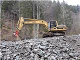 2
2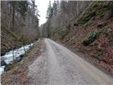 3
3 4
4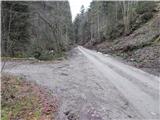 5
5 6
6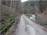 7
7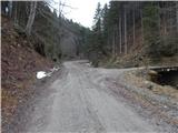 8
8 9
9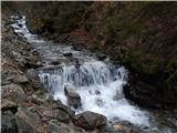 10
10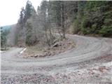 11
11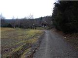 12
12 13
13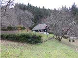 14
14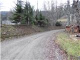 15
15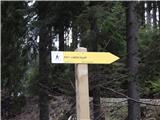 16
16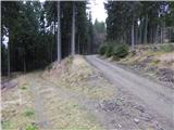 17
17 18
18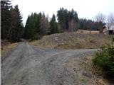 19
19 20
20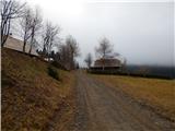 21
21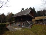 22
22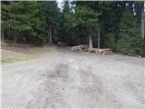 23
23 24
24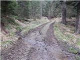 25
25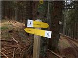 26
26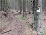 27
27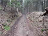 28
28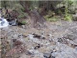 29
29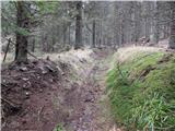 30
30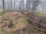 31
31 32
32 33
33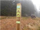 34
34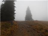 35
35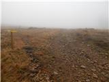 36
36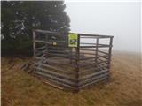 37
37 38
38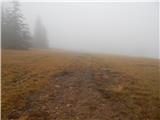 39
39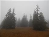 40
40 41
41 42
42 43
43
Discussion about the trip Mislinjski graben (Pestotnik) - Ostruščica
To post a comment you must log in:
If you do not yet have a username, you must first
register.