Starting point: Mlinše (388 m)
| Latitude/Longitude: | 46,14600°N 14,88070°E |
| |
Walking time: 2 h
Difficulty: no data
Elevation gain: 542 m
Elevation difference along the route: 630 m
Map:
Recommended equipment (summer):
Recommended equipment (winter):
Views: 4.357
 | 1 person like this post |
Access to starting point:
A) From the highway Ljubljana - Maribor, take the Trojane exit, then continue driving in the direction of Izlake and Zagorje. At the end of the settlement Izlake, turn right towards Moravče, and follow the road to the settlement Mlinše, where immediately after the sports field the road branches off to the left towards Zasavska Sveta gora. At the starting point, there are no appropriate parking spots, or they are intended for guests of the nearby restaurant.
B) From Zasavje, first drive to Zagorje, then continue driving towards Izlake. At the crossroads at the beginning of Izlake, continue left in the direction of Moravče, and follow the road to the settlement Mlinše, where immediately after the sports field the road branches off to the left towards Zasavska Sveta gora. At the starting point, there are no appropriate parking spots, or they are intended for guests of the nearby restaurant.
Route description:
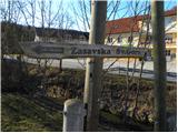
From the village Mlinše, we head onto the asphalt road in the direction of Zasavska Sveta gora. The road first leads past a few houses, then ascends to the neighbouring village Zabava, where at the crossroads by the chapel we continue right. We continue through the village, and the road at the end of the village turns into a cart track which leads us across panoramic plateaus. Higher up we arrive at the next village or hamlet Breznik.
Here we first cross the nearby road, then ascend across a few yards to a poorly trodden path, which climbs through a meadow to the nearby slope, across which it begins to ascend transversely. Somewhat higher, the path leads us onto a cart track, which we follow to the right, and it quickly takes us to the village Ravne pri Mlinšah. After passing through the village and when the road turns slightly right, a marked path from Izlake joins from the left.
Here we continue straight to the nearby crossroads by the chapel, where we also notice some hiking signposts.
We continue straight across the road onto a marked footpath in the direction of Zasavska Sveta gora. We continue along the cart track, which quickly enters the forest and turns right. Further on we ascend along an old cart track, following it at the junctions in the direction indicated by the blazes. Higher up, the cart track splits into two parts, and we choose the left one (right Zasavska Sveta gora 5 minutes). After a short traverse to the left, we step onto an asphalt road, along which we walk to the mountain hut in a few steps.
From the mountain hut we continue along the road, descending in a few minutes to a small crossroads, where we continue left in the direction of the settlement Vidrga and Roviški vrh. We walk along the road for a short while longer, then signs for Roviški vrh or Roviškovec direct us right onto a steep footpath that begins to ascend through the forest. The path quickly brings us to a small saddle, where the path from Sava also joins, and we continue left along a steep hiking path which gradually leads onto quite steep forested slopes. Further we ascend the steep path, which especially when wet is also dangerous for slipping. Higher up the path levels out somewhat and brings us to the summit of Roviškovec in a few more minutes of walking.

Photos:
 1
1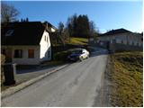 2
2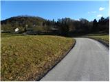 3
3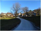 4
4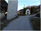 5
5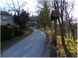 6
6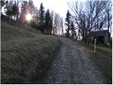 7
7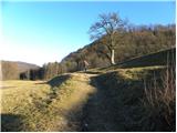 8
8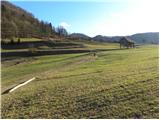 9
9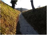 10
10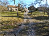 11
11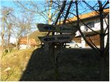 12
12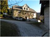 13
13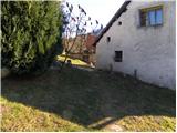 14
14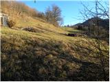 15
15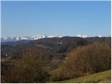 16
16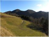 17
17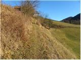 18
18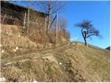 19
19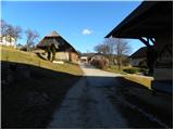 20
20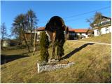 21
21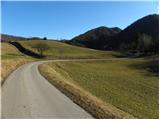 22
22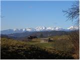 23
23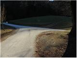 24
24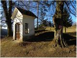 25
25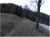 26
26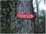 27
27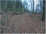 28
28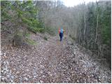 29
29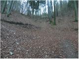 30
30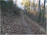 31
31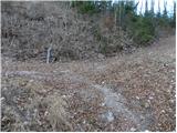 32
32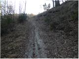 33
33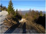 34
34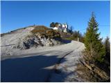 35
35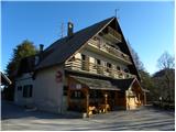 36
36 37
37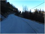 38
38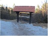 39
39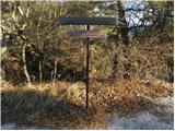 40
40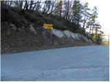 41
41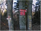 42
42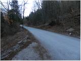 43
43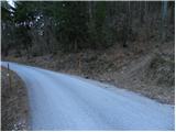 44
44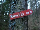 45
45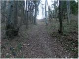 46
46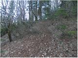 47
47 48
48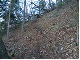 49
49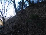 50
50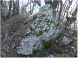 51
51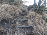 52
52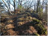 53
53 54
54 55
55
Discussion about the trip Mlinše - Roviškovec
To post a comment you must log in:
If you do not yet have a username, you must first
register.