Mojstrana - Drobeče Sleme
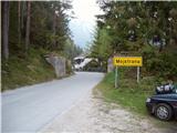
Starting point: Mojstrana (675 m)
| Latitude/Longitude: | 46,45520°N 13,93210°E |
| |
Walking time: 4 h 15 min
Difficulty: easy unmarked way
Elevation gain: 1354 m
Elevation difference along the route: 1390 m
Map: Kranjska Gora 1:30.000
Recommended equipment (summer):
Recommended equipment (winter): ice axe, crampons
Views: 11.057
 | 4 people like this post |
Access to starting point:
We leave the Gorenjska highway at the Hrušica exit and follow the road ahead in the direction of Kranjska Gora. Just a little before the village of Dovje, the road to Mojstrana (Vrata, Kot and Krma) branches off to the left from the main road. We follow the road ahead in the direction of the Vrata valley and drive along it only a short time, as we will soon spot the mountain signposts for Vrtaška planina by the road. We park on the parking lot by the road, which is located a few meters ahead.
Route description:
From the parking lot, we descend the road a few meters downwards, where a signpost directs us to a wide footpath. The path initially ascends moderately and brings us to a junction in a few minutes, where we continue straight (right leads the path to the vantage point Grančišče).
The path soon after crosses a shorter muddy section of the path, then turns left and ascends ever more steeply. The path ahead is steep and runs through the forest. After an hour and a half of walking, the steepness eases and the path transitions to avalanche slopes. This is followed by crossing a wide, fence-protected artificial ledge (the fence is for protecting livestock), from which a nice view opens up on the surrounding peaks. The path then returns to the forest for some time and ascends steeply again. A little higher, the steepness eases, we cross a grazing fence and in a few more minutes of walking step onto Vrtaška planina, where on the right side we spot a shepherd hut equipped with an emergency bivouac in the attic of the house.
The path ahead ascends across a meadow and then turns sharply to the left and enters the forest. The path through the forest ascends moderately and after 20 minutes of walking from the pasture brings us to a larger clearing, which we merely cross. The path then returns to the forest, which becomes sparser. The path, which is then relatively gentle, brings us after some time to a nice vantage point from which a beautiful view opens up.
This is followed by a short descent and then some traverses with a slight ascent to a large grassy slope below Vrtaški vrh, where an unmarked path from the Peričnik waterfall joins.
The path then turns slightly to the right and continues gently ascending across the meadow. A little higher, the path from the grassy slopes enters a belt of dwarf pines and begins to ascend more steeply. From the moderately steep path, surrounded by a belt of sparse larch forest, a view opens towards Sleme (2077 m). The otherwise marked path begins to fade gradually, but in fine weather orientation is not difficult. The path then ascends steeply again and brings us to the ridge, where ahead of us we spot Špik and Kukova špica.
We continue right on an unmarked trail (left Sleme), which after a few steps of walking brings us into a belt of dwarf pines. The path through the dwarf pines is clearly visible and brings us to the summit in 3 minutes of further walking.
Mojstrana - Vrtaška planina 2:00, Vrtaška planina - Drobeče Sleme 2:15.

Photos:
 1
1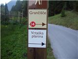 2
2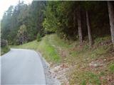 3
3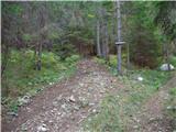 4
4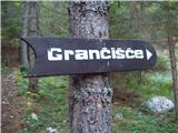 5
5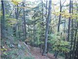 6
6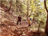 7
7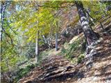 8
8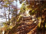 9
9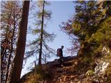 10
10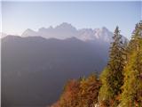 11
11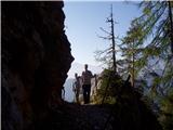 12
12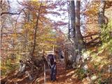 13
13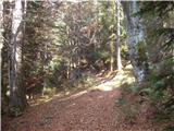 14
14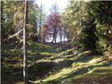 15
15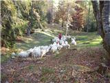 16
16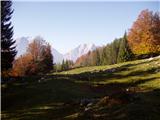 17
17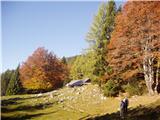 18
18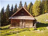 19
19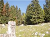 20
20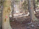 21
21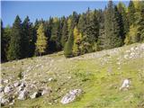 22
22 23
23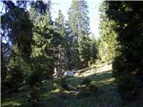 24
24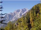 25
25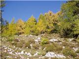 26
26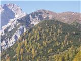 27
27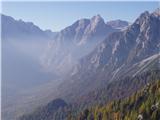 28
28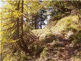 29
29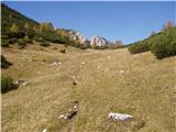 30
30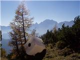 31
31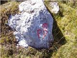 32
32 33
33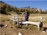 34
34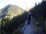 35
35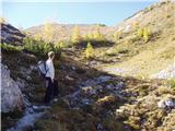 36
36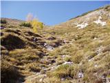 37
37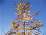 38
38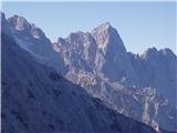 39
39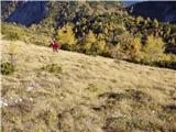 40
40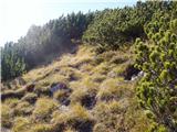 41
41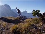 42
42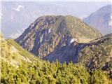 43
43
Discussion about the trip Mojstrana - Drobeče Sleme
To post a comment you must log in:
If you do not yet have a username, you must first
register.