Moravče - GEOSS (via Pivkelj)
Starting point: Moravče (379 m)
| Latitude/Longitude: | 46,13570°N 14,74460°E |
| |
Route name: via Pivkelj
Walking time: 3 h 10 min
Difficulty: easy marked way
Elevation gain: 266 m
Elevation difference along the route: 545 m
Map: Ljubljana - okolica 1:50.000
Recommended equipment (summer):
Recommended equipment (winter): crampons
Views: 1.030
 | 1 person like this post |
Access to starting point:
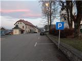
A) From the highway Ljubljana - Maribor we take the exit Krtina, and then continue driving in the direction of Moravče. In Moravče we continue right and park on the marked parking lot near the parish church.
B) From the direction of Zasavje we first drive to Izlake, from there we continue driving towards Moravče. In Moravče, at the intersection near the church, where the main road turns right, we continue straight and park on the marked parking lot near the parish church.
Route description:
From the center of Moravče we continue along the main road which leads towards Izlake. Initially we walk on a sidewalk, a little after the company Nissan Krulc, we go slightly right onto the road in the direction of the settlements Ribče and Dešen and the mountain hut Planinski dom Ušte - Žerenk. The path ahead starts to ascend on a somewhat narrower asphalt road, from which, looking back, a nice view opens towards Limbarska gora, and with good visibility the view reaches all the way to the highest peaks of the Kamnik-Savinja Alps. Soon after Moravče ends, we arrive at the hamlet Podbrdo, where we leave the asphalt road and continue left in the direction of the mountain hut and sv. Miklavž.
Behind the houses, which we bypass on the left side, the path goes into the forest and starts to ascend somewhat more steeply, quite quickly it also splits.
We choose the left path (right sv. Miklavž), which ascends transversely to the left, higher up it widens into a newer cart track. We ascend for a few minutes on the mentioned cart track, then again on the hiking trail, which higher crosses the macadam road, another ten steps or so higher we reach the asphalt road, which we follow to the left. We walk along the road to a smaller saddle, where the blazes direct us left onto the path that crosses a scenic meadow, across which, with nice views, we walk to the nearby mountain hut.
From the mountain hut we continue straight in the direction of Zgornja Slivna and the summit Pivkelj, where through a belt of forest we reach an asphalt road. Continuing, we walk past the ranch pr Oselet, where at a smaller intersection we take the lower road, at the next intersection we choose the upper right road, onto which the signs for GEOSS also direct us. An ascent through the forest follows, the road quickly turns right and splits. We choose the left macadam road (the right road leads to the nearby house), along which we ascend to the hamlet Štance Laze. In the mentioned hamlet the road levels out, along it we walk to a marked junction, where we go right onto the path in the direction of Pivkelj and GEOSS (straight unmarked path towards sv. Florijan, Zgornja Gora and GEOSS past sv. Florijan).
Some more entirely easy walking along the edge of the forest follows, then the blazes lead us into the forest, and the path temporarily descends as well. The descent does not last long, and after a few minutes of ascent we reach the cart track, where we go left (right leads to the top of the quarry Ušenišče, as indicated by a quite old warning sign).
On the gentle cart track we walk to the nearby marked junction, where the signs for Pivkelj direct us right (straight Zgornja Slivna and GEOSS).
Less than 5 minutes of ascent follow and we reach a forested summit, where we can rest on the bench.
From the summit we descend the same path to the junction where we left the cart track, then we continue right (straight, if we do not ascend to the summit). The path ahead leads us along the cart track, from which a marked but unmarked path branches off to the right towards the hamlet Vrtače, we continue slightly left and in a few minutes descend to the asphalt road, which we follow to the right, along which we walk to the abandoned Dom na Zgornji Slivni.
From the hut we can in one minute of further walking also ascend to the nearby church of sv. Neža, from which a nice view opens onto Posavsko hribovje.
Before the abandoned Dom na Zgornji Slivni we continue sharply left and descend transversely to the nearby chapel, where the path turns right downward. Lower down we descend for a few minutes through the forest, then we reach the asphalt road. We continue the descent along the road, after the left bend an unmarked shortcut branches off to the right downward, leading directly to GEOSS, we continue on the marked path, which continues along the asphalt road. Lower we arrive in Spodnja Slivna, where at Gostilna Vrabec we go right. Only a slight ascent follows and we arrive at GEOSS.
Moravče - Dom Ušte-Žerenk 1:10, Dom Ušte-Žerenk - Pivkelj 1:20, Pivkelj - Dom na Zgornji Slivni 0:20, Dom na Zgornji Slivni - GEOSS 0:20.
Description and pictures refer to the condition in 2018 (December).

Photos:
 1
1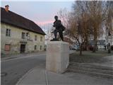 2
2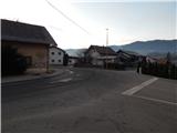 3
3 4
4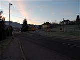 5
5 6
6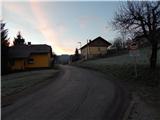 7
7 8
8 9
9 10
10 11
11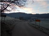 12
12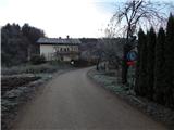 13
13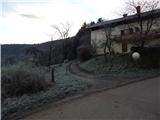 14
14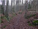 15
15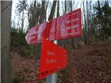 16
16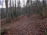 17
17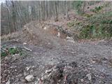 18
18 19
19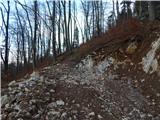 20
20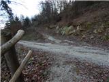 21
21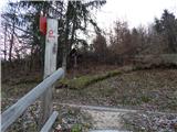 22
22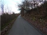 23
23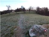 24
24 25
25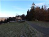 26
26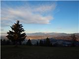 27
27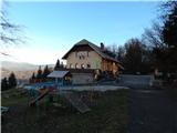 28
28 29
29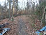 30
30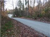 31
31 32
32 33
33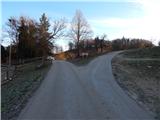 34
34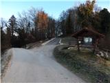 35
35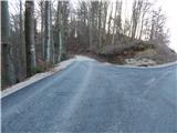 36
36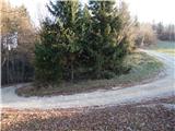 37
37 38
38 39
39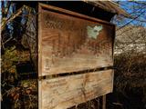 40
40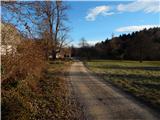 41
41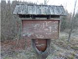 42
42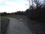 43
43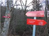 44
44 45
45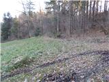 46
46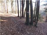 47
47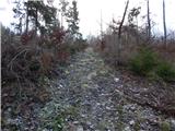 48
48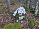 49
49 50
50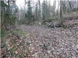 51
51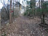 52
52 53
53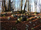 54
54 55
55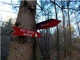 56
56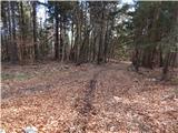 57
57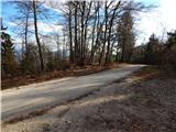 58
58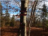 59
59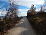 60
60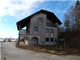 61
61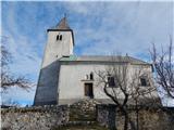 62
62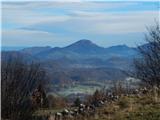 63
63 64
64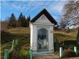 65
65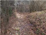 66
66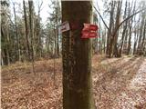 67
67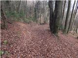 68
68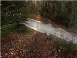 69
69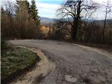 70
70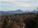 71
71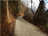 72
72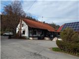 73
73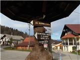 74
74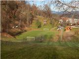 75
75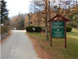 76
76 77
77
Discussion about the trip Moravče - GEOSS (via Pivkelj)
To post a comment you must log in:
If you do not yet have a username, you must first
register.