Moravče - Limbarska gora (via Serjuče)
Starting point: Moravče (379 m)
| Latitude/Longitude: | 46,13570°N 14,74460°E |
| |
Route name: via Serjuče
Walking time: 1 h 25 min
Difficulty: easy marked way
Elevation gain: 394 m
Elevation difference along the route: 410 m
Map: Ljubljana - okolica 1:50.000
Recommended equipment (summer):
Recommended equipment (winter):
Views: 14.716
 | 2 people like this post |
Access to starting point:
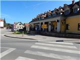
A) From the Ljubljana–Maribor highway, take the Krtina exit, then continue driving towards Moravče. In Moravče, continue left towards Limbarska gora and Sveti Mohor, then park at a suitable place near the crossroad. A larger parking lot is located on the other side of the crossroad near the parish church.
B) From the Zasavje direction, first drive to Izlake, from there continue driving towards Moravče. In Moravče, at the crossroad near the church, continue right towards Limbarska gora and Sveti Mohor. Park at a suitable place near the crossroad. A larger parking lot is located on the other side of the crossroad near the parish church.
Route description:
From the crossroad near the church we continue on the asphalt road or sidewalk in the direction of Limbarska gora and Sveti Mohor. We soon arrive at a marked crossroad, where the marked path to Limbarska gora splits into two parts.
On the right road the path continues to Limbarska gora through the village Gabrje, we continue left in the direction of Limbarska gora through Serjuče. The road further leads past OŠ Jurija Vege, where on school-free days there is also parking possibility. At the beginning of the settlement Soteska the straight road continues towards Soteska and Pogled, we continue right on the main road in the direction of the villages Serjuče and Vinje. On the main road we walk a few more minutes, then the signs for Serjuče direct us right over a small bridge across the stream Drtijščica. When a little further we arrive at the first houses in the village, pay attention to a stone wall, on which we notice signs of the European footpath E6, which direct us left onto a side road that begins to ascend among the houses. The road soon ends, the path leads us through the yard of two nearby houses, above them behind the chapel we step onto a marked cart track, on which we quickly return to the asphalt road. On the asphalt road we then arrive at the next chapel and a smaller hamlet, where behind the yard of the house the road turns into a wide cart track. The cart track higher enters the forest, which soon turns into a forest mountain path. At a few junctions we follow the blazes, then the path, which flattens at the cross, brings us to the next asphalt road. On the road we walk a few minutes, then the marked path turns left and cuts the bend of the asphalt road, to which we quickly return. This time on the road we walk to the next house, in front of which we turn right, first onto a macadam road, after a few meters onto a path that ascends along the fence. Also this time we quickly return to the road, which brings us to a smaller crossroad, where we continue slightly left (slightly right Ekološka kmetija pri Kosmač, Toman Limbarska gora 17).
From the crossroad onwards we continue the ascent on a narrower asphalt road, which, with increasingly beautiful views reaching the nearby Posavsko hribovje and somewhat more distant Alps, we follow all the way to the top of Limbarska gora.

Photos:
 1
1 2
2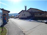 3
3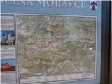 4
4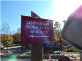 5
5 6
6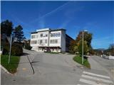 7
7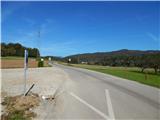 8
8 9
9 10
10 11
11 12
12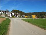 13
13 14
14 15
15 16
16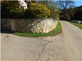 17
17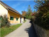 18
18 19
19 20
20 21
21 22
22 23
23 24
24 25
25 26
26 27
27 28
28 29
29 30
30 31
31 32
32 33
33 34
34 35
35 36
36 37
37 38
38 39
39 40
40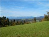 41
41 42
42 43
43 44
44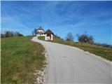 45
45 46
46 47
47 48
48 49
49 50
50 51
51
Discussion about the trip Moravče - Limbarska gora (via Serjuče)
To post a comment you must log in:
If you do not yet have a username, you must first
register.