Moravske Toplice - Murska Sobota Castle (via Martjanci)
Starting point: Moravske Toplice (190 m)
| Latitude/Longitude: | 46,68510°N 16,21835°E |
| |
Route name: via Martjanci
Walking time: 1 h 45 min
Difficulty: easy marked way
Elevation gain: 2 m
Elevation difference along the route: 10 m
Map: Pomurje 1:40.000
Recommended equipment (summer):
Recommended equipment (winter):
Views: 171
 | 1 person like this post |
Access to starting point:
A) We leave the Pomurska motorway at the Gančani exit, and then we follow the signs for Bogojina and Moravske Toplice. In Bogojina we go left and drive to Moravske Toplice, where we park on one of the many parking lots.
B) We drive to Murska Sobota, and then we follow the signs for Moravske Toplice. When we arrive in Moravske Toplice, we park on one of the parking lots in the centre of the settlement.
Route description:
From the parking lot, we walk to the settlement of holiday cottages and follow the signs for Murska Sobota. After crossing the stream Lipnica we go right to the main road, and then we go left, where we walk on a marked sidewalk or cycling path. For some time we continue along the main road, then the asphalt path turns left and moves away from the main road for a while. We continue the path among fields, past Ribnjek Martjanci and Zeleni park Martjanci, until we reach the settlement Martjanci, where behind the parish church of St. Martin we reach the crossroads at the main road.
Here we immediately turn left and then follow the blazes and signs for Murska Sobota. The path ahead again leads us along the surface for pedestrians and cyclists. After the cycling rest area and the fire station we reach the main road Murska Sobota - Moravske Toplice, which we carefully cross and then continue to follow the blazes, except that the path through part of the settlement now runs along the sidewalk. When the main road through the settlement turns left, we continue straight onto a side road (here we carefully cross the road because of the blind curve), which behind the last house again becomes a surface for pedestrians and cyclists and continues all the way to the industrial zone in Murska Sobota.
Past the Merkur store we reach the main road towards Puconci, but we continue left towards the centre of Murska Sobota, where at the crossroads we then follow the blazes. Later the path also leads us through an underpass beneath the railway line, and we continue along the sidewalk on Lendavska ulica.
After a kind of triangular crossroads the main road turns left, while we continue along Slovenska ulica; just before Trg zmage, or beside the evangelical church in Murska Sobota, we turn right and then walk through the park to Murska Sobota castle.
The stamp of the Pomurje hiking trail is located if, at the evangelical church in Murska Sobota, we continue straight to the nearby former Hotel Diana.
Moravske Toplice - Martjanci 0:40, Martjanci - Murska Sobota castle 1:05.
Description and pictures refer to the conditions in August 2025.

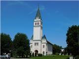
Along the route: Cerkev sv. Martina (Martjanci) (194m)
Photos:
 1
1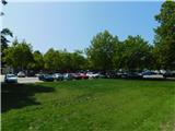 2
2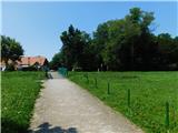 3
3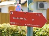 4
4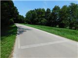 5
5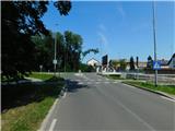 6
6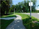 7
7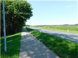 8
8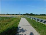 9
9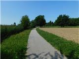 10
10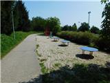 11
11 12
12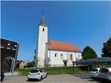 13
13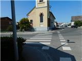 14
14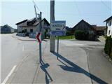 15
15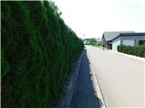 16
16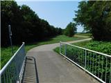 17
17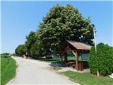 18
18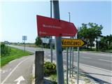 19
19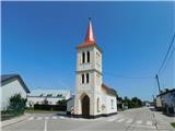 20
20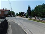 21
21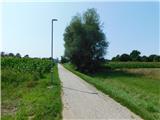 22
22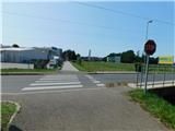 23
23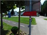 24
24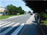 25
25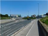 26
26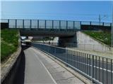 27
27 28
28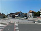 29
29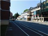 30
30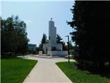 31
31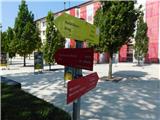 32
32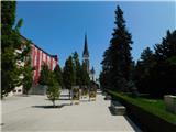 33
33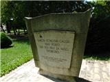 34
34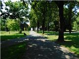 35
35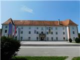 36
36 37
37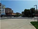 38
38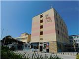 39
39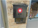 40
40
Discussion about the trip Moravske Toplice - Murska Sobota Castle (via Martjanci)
To post a comment you must log in:
If you do not yet have a username, you must first
register.