Možjanca - Štefanja gora (by road)
Starting point: Možjanca (689 m)
| Latitude/Longitude: | 46,29450°N 14,45070°E |
| |
Route name: by road
Walking time: 1 h
Difficulty: easy marked way
Elevation gain: 59 m
Elevation difference along the route: 100 m
Map: Karavanke - osrednji del 1:50.000
Recommended equipment (summer):
Recommended equipment (winter):
Views: 5.730
 | 1 person like this post |
Access to starting point:
A) From Cerklje na Gorenjskem, Šenčur or Kranj we drive towards Preddvor. When we reach the main road Kranj - Jezersko we follow it towards Jezersko, then before the settlement Tupaliče we turn right in the direction of Možjanca. In Tupaliče we again turn right, and then on an ascending road we drive to the settlement Možjanca, where near the church of St. Nikolaj or a little above it at the recycling spot we park in an appropriate place.
B) From Zgornje Jezersko we drive on the main road towards Kranj. When we get to the crossroad, where a road towards Preddvor branches off to the right, we continue straight, and then at the first crossroad left. After a short ascent, the road flattens, and then at the marked crossroad we continue left in the direction of Možjanca. There follows an ascent to the settlement Možjanca, where near the church of St. Nikolaj or a little above it at the recycling spot we park in an appropriate place.
Route description:
From the crossroad a little below the church, we go in the direction of Štefanja Gora and we continue on the macadam road which at first leads past a few more houses. When the settlement ends, at the smaller crossroad we continue on the left upper road (on the right road we can get to Apnišče), which passes into the forest. Further, we ascend gently to moderately for some time, and then the road flattens and a little later it gets an asphalt covering. When a little ahead we step out of the forest, in front of us we notice the village Štefanja Gora, to which we have a few minutes of walking. Still before we get to the houses in the village, we get to a marked crossroad, where we continue sharply right in the direction of the church on Štefanja gora.
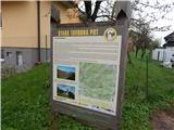
The path ahead leads us on a narrower asphalt road which winds through the forest and higher through an ample meadow. At the end of the meadow, at the spot where from the left another path joins (paths from the villages Adergas, Dvorje, Grad, Štefanja Gora...), at the information boards a short path branches off to the right, which leads to the open-door farm Pri Mežnarju, and we continue straight to the end of the road. From the end of the road, we go straight on a beaten footpath, on which first through the meadow, then through the forest, in a few minutes we reach the church of St. Štefan, which is situated on the summit of Štefanja gora, and from there a beautiful view opens up.
Description and pictures refer to the condition in the year 2016 (April).

Photos:
 1
1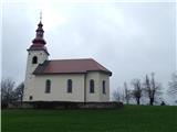 2
2 3
3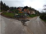 4
4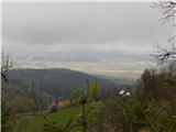 5
5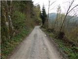 6
6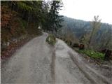 7
7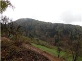 8
8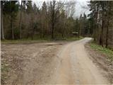 9
9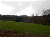 10
10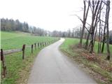 11
11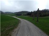 12
12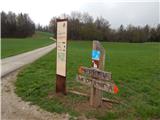 13
13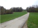 14
14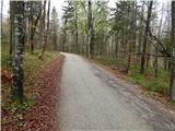 15
15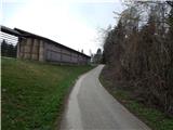 16
16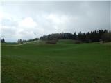 17
17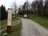 18
18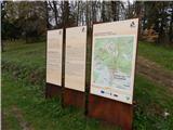 19
19 20
20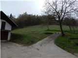 21
21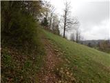 22
22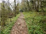 23
23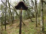 24
24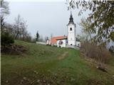 25
25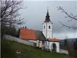 26
26
Discussion about the trip Možjanca - Štefanja gora (by road)
To post a comment you must log in:
If you do not yet have a username, you must first
register.