Mrzle doline - Sveti Peter
Starting point: Mrzle doline (535 m)
| Latitude/Longitude: | 45,77320°N 15,00640°E |
| |
Walking time: 1 h 15 min
Difficulty: easy marked way
Elevation gain: 353 m
Elevation difference along the route: 360 m
Map: Dolenjska, Gorjanci in Kočevski rog 1:50.000
Recommended equipment (summer):
Recommended equipment (winter):
Views: 12.296
 | 1 person like this post |
Access to starting point:
A) From the Ljubljana - Novo Mesto highway we take the exit Ivančna Gorica and continue driving in the direction of Žužemberk and Črnomelj. We follow the mentioned road to Soteska, where we turn right across the bridge over the river Krka. Immediately behind the bridge we turn right into the yard of the nearby company, where we look for the beginning of the forest road. We follow the road, which starts ascending steeper through the forest, to a somewhat larger crossroad, by which we notice the sign Mrzle doline. Here we park in an appropriate place by the crossroad.
B) From the highway MP Obrežje - Ljubljana we take the exit Novo Mesto - east, and we continue driving to the mentioned place. From Novo Mesto we continue driving in the direction of Straže and then Soteska. In Soteska we continue left in the direction of Črnomelj and Podhoste. Immediately after the bridge over the river Krka we turn right into the yard of the nearby company, where we look for the beginning of the forest road. We follow the road, which starts ascending steeper through the forest, to a somewhat larger crossroad, by which we notice the sign Mrzle doline. Here we park in an appropriate place by the crossroad.
Route description:
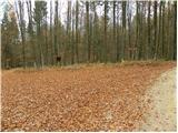
From the starting point, we continue on the right road (left leads to Podhoste), which further gently ascends through the forest. Higher, we come to an unmarked crossroad, where we continue sharply left and the path continues for some time on an unmarked road. We continue the ascent on a narrower macadam road, on which in approximately 10 minutes of additional walking we arrive at the next crossroad. We continue on the left road (on the right road we return to the "main" road), where we quickly arrive at a marked path which leads from Podhoste to Sveti Peter.
Here we continue right on a marked footpath which starts moderately ascending through the forest. Already after a few minutes we leave the wide path and continue the ascent slightly right, on a still marked, but occasionally more overgrown path. Higher, we step on a cart track, which after a few steps brings us to a wider forest road. We continue on the road uphill, on which we walk only for a short time, since then the blazes direct us right on a footpath. We continue a short ascent through the forest and then the path flattens and brings us to the next forest road, which we only cross. We continue in the direction of Sveti Peter and the path on initially gentle, then increasingly steep path, on which in approximately 15 minutes of additional walking we arrive at the top of Sveti Peter.

Photos:
 1
1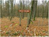 2
2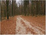 3
3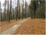 4
4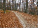 5
5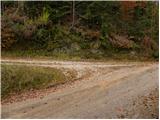 6
6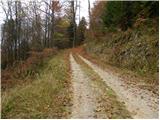 7
7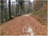 8
8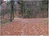 9
9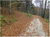 10
10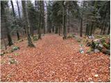 11
11 12
12 13
13 14
14 15
15 16
16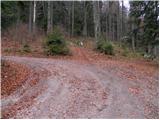 17
17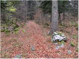 18
18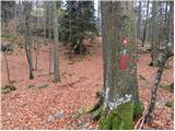 19
19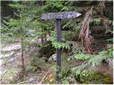 20
20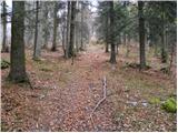 21
21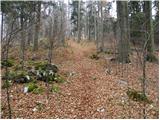 22
22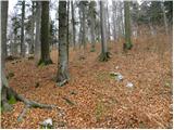 23
23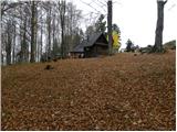 24
24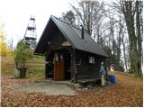 25
25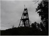 26
26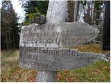 27
27 28
28 29
29
Discussion about the trip Mrzle doline - Sveti Peter
|
| Loerst13. 05. 2018 |
It should be added that the trail is also suitable for the youngest, and if necessary, we can drive a bit higher from the suggested starting point and shorten the trail as desired (the forest road is in excellent condition).
|
|
|
To post a comment you must log in:
If you do not yet have a username, you must first
register.