Na jezercih - Begunjščica
Starting point: Na jezercih (950 m)
| Latitude/Longitude: | 46,40760°N 14,19470°E |
| |
Walking time: 3 h 30 min
Difficulty: easy unmarked way, easy marked way
Elevation gain: 1110 m
Elevation difference along the route: 1110 m
Map: Karavanke - osrednji del 1:50.000
Recommended equipment (summer):
Recommended equipment (winter): ice axe, crampons
Views: 13.379
 | 1 person like this post |
Access to starting point:
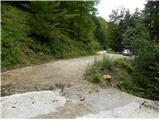
From the Ljubljana - Jesenice highway, take the Lesce exit and follow the road ahead towards Žirovnica and Jesenice. After a few kilometers of driving, we arrive at a crossroads, where the road to Žirovnica and Moste branches off to the right (from the Jesenice direction, left). Only a few meters ahead, at the next crossroads, we turn left to Moste (right to Žirovnica). Further on, we drive past the monument to the fallen fighters, where the road begins to climb under the railway track. At the top of the climb, we turn right (at the Vila Karin sign), but we continue towards Završniško jezero and Valvasorjev dom. The road then flattens and brings us to a crossroads, where the road to Valvasorjev dom branches off to the left, and we continue straight. Further on, the road leads past a well-maintained parking lot, and the asphalt road soon becomes macadam. The macadam road, which is asphalted on some steep sections, brings us higher to a smaller crossroads, where we continue right (straight to Tinčkova koča and Zelenica). After the crossroads, the road crosses the Završnica stream, then begins a transverse ascent to the right. Further on, we drive approximately 600 meters more, after which we arrive at a sharp right bend, in the middle of which we cross the Globoki potok stream. At the end of the bend, we park in a suitable place by the road.
Route description:
From the starting point, we return to the bend, where by the stream we notice the beginning of the path, initially a quite rough old cart track. For a short time, we ascend on the left side of the stream, then cross it and switch to the right side. From there, we ascend on the cart track for a few more minutes, then cross the streambed again. The path ahead ascends in the immediate vicinity of the streambed; the unmarked path, alongside which we can notice some very old markings, brings us in a few minutes of further walking to the place where it splits into two parts.
Here we can continue straight on the quite rough path, which continues alongside the torrent stream, or continue right on the newer cart track. If we continue right, then at the first fork we choose the left cart track, along which we ascend in a few minutes to the nearby forest road. When we step onto the road, we follow it to the left, and along it in 2 minutes we walk to Tomčeva koča on Poljška planina.
From Tomčeva koča, we continue right following the signs for Roblekov dom and continue the ascent on the path that enters the forest. The path through the forest ascends moderately and soon brings us to the place where several logs intended for heating Roblekov dom are stacked. If we feel like it and have enough strength, we can carry a log to the hut (they will be very grateful).
Higher up, the forest on the path becomes sparser, and the path steeper. On the wide and well-made path, which is quite muddy after rain, nice views occasionally open up. The path then turns slightly to the left and brings us to the place where the path from the Preval-a pasture joins from the right.
We continue on the left path, which after a further 10 minutes of transverse ascent brings us to the mountain hut.
From the hut, we continue right in the direction of Veliki vrh on Begunjščica on the path that enters the forest after a few steps. The short strip of forest quickly changes into shrubbery and higher into dwarf pines. After a good 20 minutes of ascent from Roblekov dom, we reach the next junction, where we again continue in the direction of Veliki vrh, which at 2060 m is the highest peak of Begunjščica (left Dom na Zelenici). The path ahead ascends transversely on locally quite steep southern slopes of Begunjščica. The transverse path offers nice views of Gorenjska. The path, which is also dangerous for slipping when wet, then brings us to the panoramic peak, which we reach via a panoramic and steep slope.

Photos:
 1
1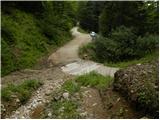 2
2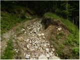 3
3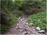 4
4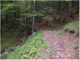 5
5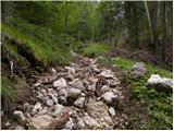 6
6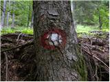 7
7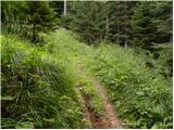 8
8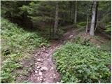 9
9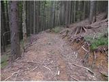 10
10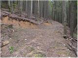 11
11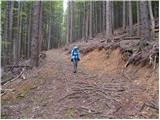 12
12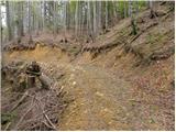 13
13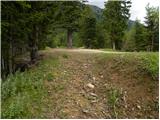 14
14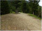 15
15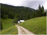 16
16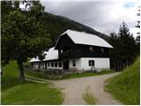 17
17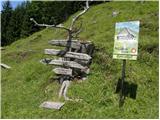 18
18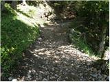 19
19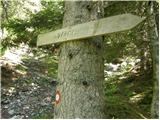 20
20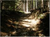 21
21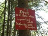 22
22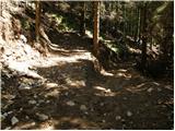 23
23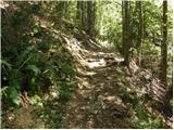 24
24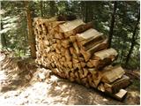 25
25 26
26 27
27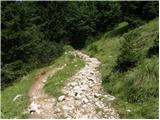 28
28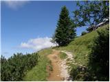 29
29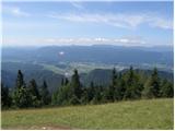 30
30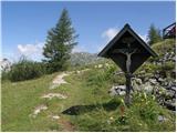 31
31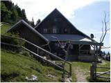 32
32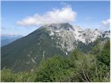 33
33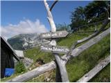 34
34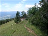 35
35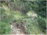 36
36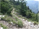 37
37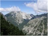 38
38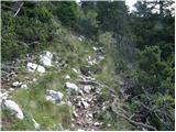 39
39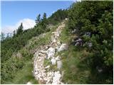 40
40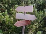 41
41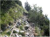 42
42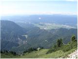 43
43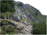 44
44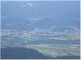 45
45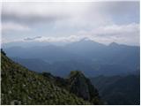 46
46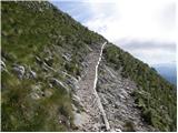 47
47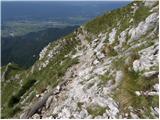 48
48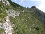 49
49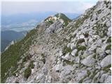 50
50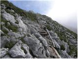 51
51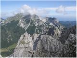 52
52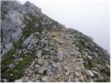 53
53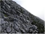 54
54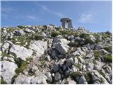 55
55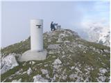 56
56 57
57
Discussion about the trip Na jezercih - Begunjščica
To post a comment you must log in:
If you do not yet have a username, you must first
register.