Starting point: Nagyvázsony (185 m)
Walking time: 1 h 45 min
Difficulty: easy marked way
Elevation gain: 414 m
Elevation difference along the route: 420 m
Map:
Recommended equipment (summer):
Recommended equipment (winter):
Views: 144
 | 1 person like this post |
Access to starting point:
We arrive in Hungary via the border crossing Pince / Tornyszentmiklos. We drive on the motorway towards Budapest, but only to the exit for Balatonvilagos, then head north towards the settlements of Keszthely and Balatonfüred. In the settlement of Balatonfüzfő, we turn right towards the settlement of Veszprém. When we reach the settlement of Veszprém, we continue towards Körmend until we see the left turn towards the settlement of Tapolca. We continue to the settlement of Nagyvázsony, where we park in a suitable place, best at the small parking lot at the village intersection (if occupied, go to the upper part of the village, where there is another larger parking lot).
Route description:
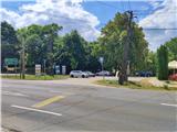
The trail starts on the western part of Nagyvázsony village, where we will notice a wayside cross and yellow direction signs. The trail we continue on is marked with a blue sign and directs us north, further orientation is quite easy as our goal is clearly visible ahead.
The trail turns left west and then right north again. The ascent is gentle, the trail leads along a field track across meadows and occasionally through forest strips.
After a little more than half an hour of walking, we reach a forest, which we leave briefly, then the trail continues through the forest and ascends almost without turns.
Further on there are some junctions, where we cross a trail marked with a blue triangle leading to the nearby summit Hajagós-Hegy, we continue straight and ascend more steeply.
At the next junction we cross a service asphalt road, then finally a wider forest track, our trail continues along the fence.
We reach the other side of the fence via a ladder, the trail ahead semicircularly bypasses the summit part of the hill, where we cross the fence again. We continue on the northern side of the hill, reaching the next junction where signs direct us right. The steepest part of the trail follows, with a nice view to the west on looking back.
Some walking on the asphalt road follows (it is not possible to reach the very summit), signs direct us left and after some more walking we reach the viewpoint Pál Kinizsi kilátó, where a nice view opens to the east and south.
In Nagyvázsony village, I also recommend visiting the old castle Pál Kolostor.

Photos:
 1
1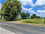 2
2 3
3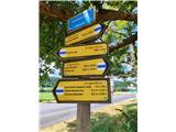 4
4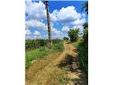 5
5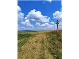 6
6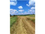 7
7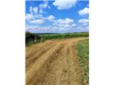 8
8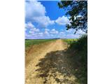 9
9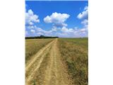 10
10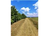 11
11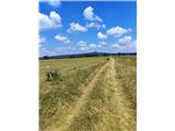 12
12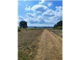 13
13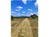 14
14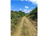 15
15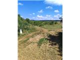 16
16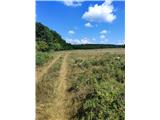 17
17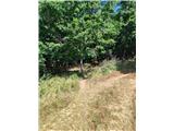 18
18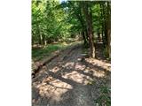 19
19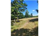 20
20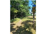 21
21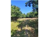 22
22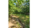 23
23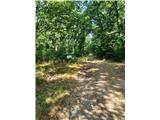 24
24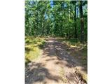 25
25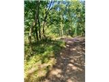 26
26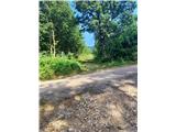 27
27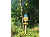 28
28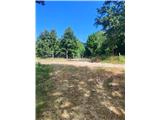 29
29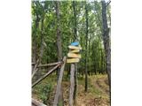 30
30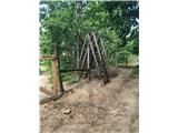 31
31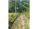 32
32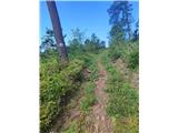 33
33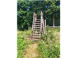 34
34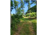 35
35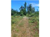 36
36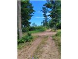 37
37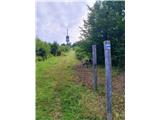 38
38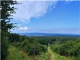 39
39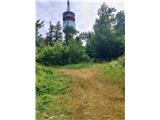 40
40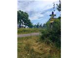 41
41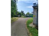 42
42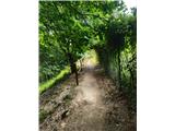 43
43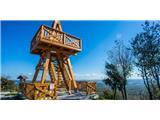 44
44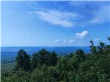 45
45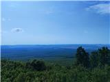 46
46
Discussion about the trip Nagyvázsony - Kab-hegy
To post a comment you must log in:
If you do not yet have a username, you must first
register.