Starting point: Narin (470 m)
| Latitude/Longitude: | 45,64760°N 14,18940°E |
| |
Walking time: 1 h
Difficulty: easy marked way
Elevation gain: 281 m
Elevation difference along the route: 290 m
Map: Snežnik 1:50.000
Recommended equipment (summer):
Recommended equipment (winter):
Views: 7.286
 | 1 person like this post |
Access to starting point:
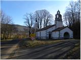
From the Ljubljana - Koper highway, take the Postojna exit, then continue driving in the direction of Ilirska Bistrica. A few kilometers after Pivka, we will arrive at a crossroads, where we turn left in the direction of the villages Šmihel and Narin. In Šmihel, we continue straight and drive another few hundred meters to the village Narin. We can park before the beginning of the village near the church of St. Jakob or at a suitable place in the middle of the village.
Route description:
From the church of St. Jakob in Narin, we continue on the asphalt road, on which we quickly arrive at the center of the village. In the center of the village, we cross the stream Stržen and then continue slightly right on the marked road, which soon splits into two parts. We choose the right one, continuing on the macadam road that starts to ascend transversely. Initially, through the treetops, a nice view opens up on Šilentabor; the road then turns right and brings us to a marked crossroads. We continue left towards Šilentabor and proceed with the ascent on the increasingly poor macadam road, which soon splits again into two parts. We again choose the left path, which continues towards Šilentabor and Ratečevo Brdo. It does not take long before the moderately steep path brings us to the next marked junction. This time too, we choose the left path, which gradually turns from road into a cart track; the latter joins another, somewhat wider macadam road after a few minutes. We follow the road left; it quickly takes us out of the forest, where we reach a panoramic saddle.
Here we continue left towards Šilentabor (right to sv. Martin 30 meters), on the macadam road, on which we soon arrive at a marked junction where we join the path from Zagorje.
From the junction or crossroads, we head slightly left into the village Šilentabor (right downhill to Zagorje), passing a few houses to the point where the marked path from Pivka also joins from the right.
We continue straight past the logbook box and transmitters and in a few minutes walk to the panoramic summit.

Photos:
 1
1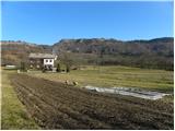 2
2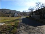 3
3 4
4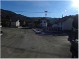 5
5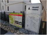 6
6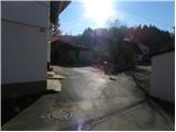 7
7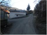 8
8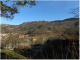 9
9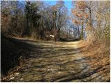 10
10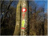 11
11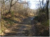 12
12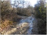 13
13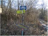 14
14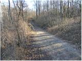 15
15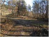 16
16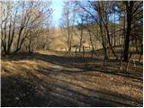 17
17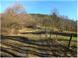 18
18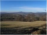 19
19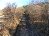 20
20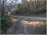 21
21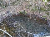 22
22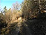 23
23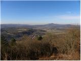 24
24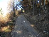 25
25 26
26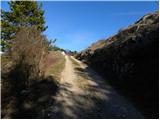 27
27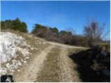 28
28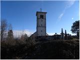 29
29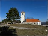 30
30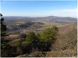 31
31 32
32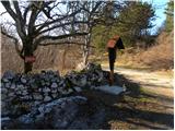 33
33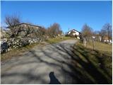 34
34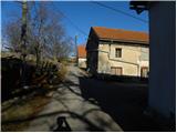 35
35 36
36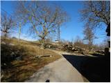 37
37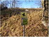 38
38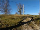 39
39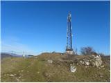 40
40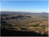 41
41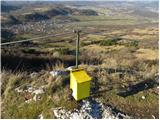 42
42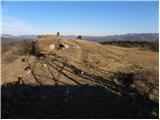 43
43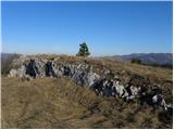 44
44 45
45
Discussion about the trip Narin - Šilentabor
To post a comment you must log in:
If you do not yet have a username, you must first
register.