Nechnitz - Gerlerkogel (via Gschaidberg)
Starting point: Nechnitz (964 m)
| Latitude/Longitude: | 47,29960°N 15,42996°E |
| |
Route name: via Gschaidberg
Walking time: 2 h 15 min
Difficulty: easy marked way
Elevation gain: 360 m
Elevation difference along the route: 495 m
Map: www.bergfex.at
Recommended equipment (summer):
Recommended equipment (winter):
Views: 82
 | 1 person like this post |
Access to starting point:
We leave the Maribor-Graz-Salzburg motorway (A9) after a few shorter tunnels outside Graz and continue right on the expressway in the direction of Wien-Bruck/Muhr-Peggau.
We then leave the expressway at the Frohnleiten exit and continue right in the direction of Teichalm.
In the settlement Gschwend we leave the main road and continue on the road toward Tyrnau. After the settlement Tyrnau a steep road leads us to the settlement Nechnitz.
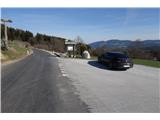
We drive past a few houses to a marked parking lot on the right. By the road, on the left side, there are also several wooden sculptures placed.
Route description:
From the parking lot, we pass the first wooden statues, following the path along the fence toward the forest.
When we get to the forest, we come across the next wooden statues, which also mark the beginning of the learning trail.
The zigzag path is easy to follow, as it runs alongside sculptures placed along the way.
In doing so, we cross the forest road a few times. When we come out of the forest, a short but the steepest part of the path still awaits us.
We reach the top of the hill Gschaidberg (1239m). At the top, we can pause briefly and enjoy the stunning view of the surroundings.
We continue past a cross and descend along the path through a meadow, passing a hunting observatory, a grazing fence, and a resting place with a table and benches. We arrive at the nearby forest.
After a short section through the forest, the path leads us back to a meadow, from where we can admire the wall Rote Wand on the left.
We continue along a wide forest path, which eventually narrows into a footpath, but after a short descent, we rejoin the road.
Along the road, we reach a grazing fence where we encounter a path crossing. We continue left along the road, and after 200 meters, we arrive at the mountain hut Gerlerkogelhütte.
Just before the mountain hut, we turn left, following a grassy path upward. We arrive below the peak of Gerlerkogel.
Through the meadow upward, we conquer the final elevation meters.
From the top, we have a breathtaking view of Teichalm, Heulantsch, and Osser, and on the other side, the distant Schöckl.
The path is technically easy, though steep in some sections. Mostly, this path is a pleasant walk through the forest and across an endlessly long meadow.

Photos:
 1
1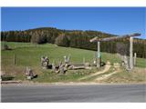 2
2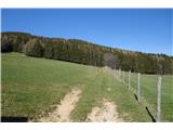 3
3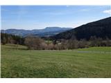 4
4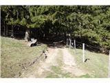 5
5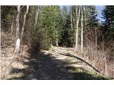 6
6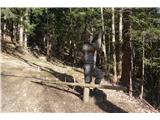 7
7 8
8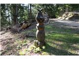 9
9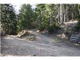 10
10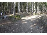 11
11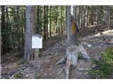 12
12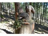 13
13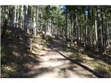 14
14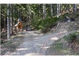 15
15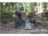 16
16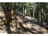 17
17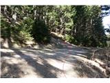 18
18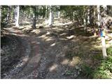 19
19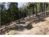 20
20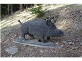 21
21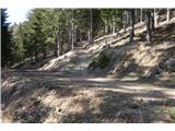 22
22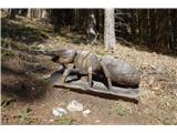 23
23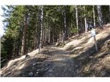 24
24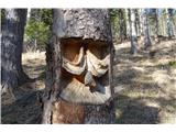 25
25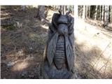 26
26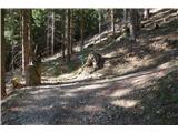 27
27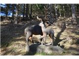 28
28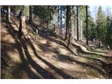 29
29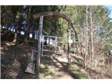 30
30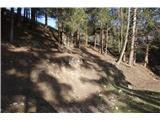 31
31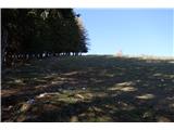 32
32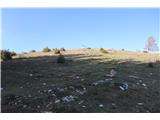 33
33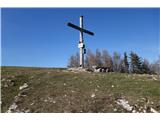 34
34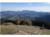 35
35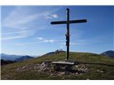 36
36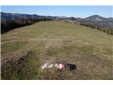 37
37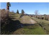 38
38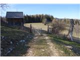 39
39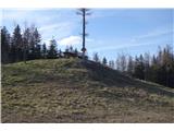 40
40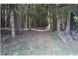 41
41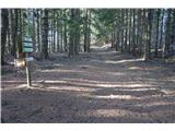 42
42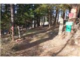 43
43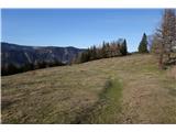 44
44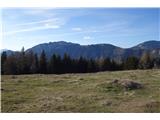 45
45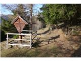 46
46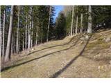 47
47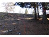 48
48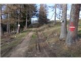 49
49 50
50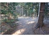 51
51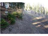 52
52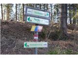 53
53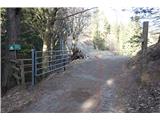 54
54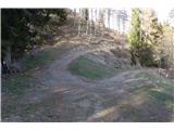 55
55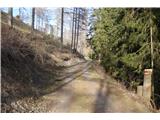 56
56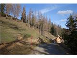 57
57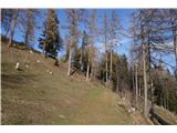 58
58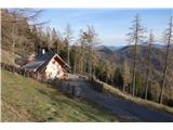 59
59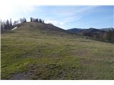 60
60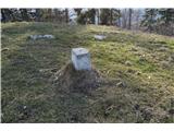 61
61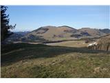 62
62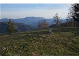 63
63 64
64
Discussion about the trip Nechnitz - Gerlerkogel (via Gschaidberg)
To post a comment you must log in:
If you do not yet have a username, you must first
register.