Niklasdorfgraben (Parkirišče Mugel) - Mugel
Starting point: Niklasdorfgraben (Parkirišče Mugel) (888 m)
| Latitude/Longitude: | 47,37660°N 15,18908°E |
| |
Walking time: 2 h
Difficulty: easy marked way
Elevation gain: 742 m
Elevation difference along the route: 742 m
Map: https://www.bergfex.at
Recommended equipment (summer):
Recommended equipment (winter):
Views: 155
 | 1 person like this post |
Access to starting point:
We leave the Maribor-Graz-Salzburg Highway (A9) after a few shorter tunnels outside Graz and continue right on the expressway in the direction of Wien-Bruck/Muhr-Peggau.
After approximately 35 km we come to the junction Bruck/Mur, Klagenfurt/Salzburg, Wien, where we follow the direction for Salzburg.
After 8 km we leave the expressway at the exit Niklasdorf and turn right towards Niklasdorf.
We drive through the settlement Niklasdorf. Behind the KIA and IVECO houses, we pay attention to the turnoff left upwards.
On the road, at all subsequent junctions, we drive straight and first arrive at the parking lot, which is available in winter conditions.
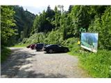
Roughly a kilometer further, we reach the parking lot, which is used especially in summer as a starting point for the path to Mugel. Here we park.
Route description:
From the parking lot, we begin on the road upwards.
At all following junctions, we go straight. Immediately after the abandoned house right by the road, the signpost points us right into the forest.
We continue on a well-marked forest path. In doing so, we cross the road a few times.
The path briefly brings us onto the road and immediately after the nearby fence directs us left steeply upwards.
We reach the panoramic mountain pasture. We pass the cottage on a grassy path upwards.
On this part, a wonderful view opens up towards the north and west.
We stick to the direction towards the transmitter, where we again use the road and easily overcome the height.
When we have the most beautiful view of the transmitter at this altitude, we pay attention to the turnoff to the left.
On this part, we leave the road and on a steep forest path overcome the final 100m of height.
When we spot the cottage, we are almost at the summit. A few more meters, and we are at the cross.
The path is well marked, slightly steeper in some parts, but still easy and technically simple.

Photos:
 1
1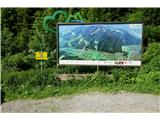 2
2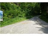 3
3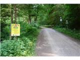 4
4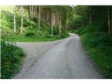 5
5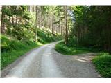 6
6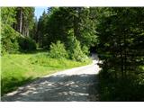 7
7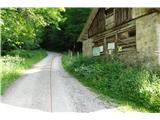 8
8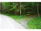 9
9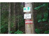 10
10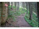 11
11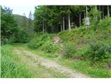 12
12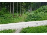 13
13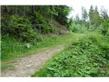 14
14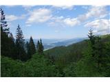 15
15 16
16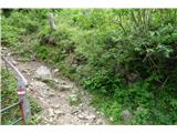 17
17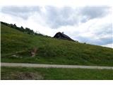 18
18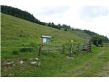 19
19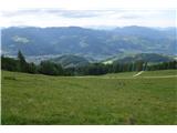 20
20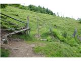 21
21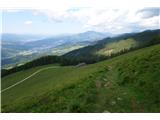 22
22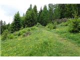 23
23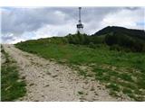 24
24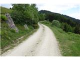 25
25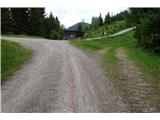 26
26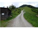 27
27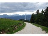 28
28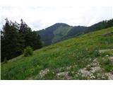 29
29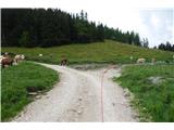 30
30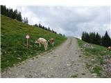 31
31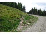 32
32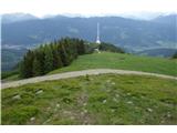 33
33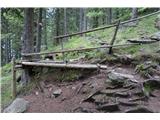 34
34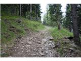 35
35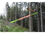 36
36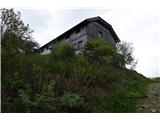 37
37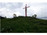 38
38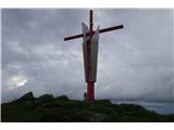 39
39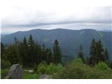 40
40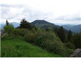 41
41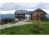 42
42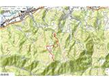 43
43
Discussion about the trip Niklasdorfgraben (Parkirišče Mugel) - Mugel
To post a comment you must log in:
If you do not yet have a username, you must first
register.