Njivica - Bela peč (Podbliška gora)
Starting point: Njivica (522 m)
| Latitude/Longitude: | 46,26900°N 14,23800°E |
| |
Walking time: 2 h 35 min
Difficulty: easy unmarked way
Elevation gain: 636 m
Elevation difference along the route: 650 m
Map: Škofjeloško in Cerkljansko hribovje 1:50.000
Recommended equipment (summer):
Recommended equipment (winter): ice axe, crampons
Views: 1.280
 | 2 people like this post |
Access to starting point:
A) From the highway Ljubljana - Jesenice, we take the exit Naklo (also possible the exit for Tržič), then we follow the signs for Kropa. In Podnart, after crossing the river Sava, we continue left, then past the turn for Ovsiše, in a few kilometers we arrive at a crossroad, where we turn left in the direction of Češnjica pri Kropi. Follows the crossing of Lipnica, then at the crossroad we choose the road in the direction of Na Kajžah (right Na Kmetih). When Češnjica ends, we descend into a smaller valley, when the road ascends again we quickly arrive at Rovte, where at the crossroads we follow the main road. When the settlement ends, for some time we drive through the forest, when we arrive out of the forest in front of us we see the settlement Njivica, we park before the settlement at an appropriate place near the "storage" of logs.
B) From the highway Jesenice - Ljubljana, we take the exit Lesce or Radovljica, then we continue driving in the direction of Radovljica and later the villages Lancovo, Lipnica, Kamna Gorica and Kropa, into which we do not drive. We continue towards Podnart, then a few kilometers before the mentioned settlement we turn right in the direction of Češnjica pri Kropi. Follows the crossing of Lipnica, then at the crossroad we choose the road in the direction of Na Kajžah (right Na Kmetih). When Češnjica ends, we descend into a smaller valley, when the road ascends again we quickly arrive at Rovte, where at the crossroads we follow the main road. When the settlement ends, for some time we drive through the forest, when we arrive out of the forest in front of us we see the settlement Njivica, we park before the settlement at an appropriate place near the "storage" of logs.
C) From the road Dražgoše - Zgornja Besnica, near the hamlet Log (Log is a hamlet belonging to the settlement Njivica), we turn onto the side road in the direction of Njivica and Rovte. Follows a steep ascent on a wide road, then we already arrive at Njivica, we park at the end of the settlement at an appropriate place near the "storage" of logs.
Route description:
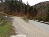
From the place where we parked, we first walk to the "storage" of logs, then continue on a wide cart track that ascends towards the west. On the cart track we first ascend more steeply, at the junctions we follow the "main cart track". Higher the cart track flattens, still crossing the slopes towards the left. Further on there are also a few smaller junctions, where we follow the wider cart track, or the one beside which there are arrows and signs no. 3. A little further the cart track from the slopes of Mali vrh passes to the slopes below the ridge of sv. Primož and Felicijan, where from the left the path from the village Nemilje joins (path over Sleme).
The path ahead leads us on a gentle cart track that leads us below the ridge of Jamnik with the church of sv. Primož and Felicijan. After a few minutes of quite panoramic crossing we reach the village Jamnik, through which we continue straight, or at the crossroads we keep slightly left. When we leave the village, we quickly reach the main road Dražgoše - Kropa, which we follow to the left, on it we walk a few minutes, or to the place where the signs for Bela peč direct us slightly right onto the ascending cart track. The cart track soon turns right, when it makes a left hairpin, straight ahead continues the path that leads towards Bela peč. Follows ascent through the forest, a little higher we cross the end of the cart track which we left shortly before (to here also possible on the cart track). The path, marked with pale yellow signs, further becomes quite steep, ascending also on a fairly steep slope, so in snow and wet greater caution is needed. Higher we reach the edge of Jelovica, where the path flattens and from the slope passes onto the plateau. Here the path turns left, a little further it joins a cart track, which we also follow to the left. Follows gentle to occasionally moderate ascent on the path that mainly runs through dense forest. A little further the forest thins, the path brings us to the panoramic edge of the plateau, from where a beautiful view opens towards the Kamniško-Savinjske Alpe, part of the Karawanks, Gorenjska and surrounding hills. At the viewpoint the path turns slightly right and in a few minutes ascends to the panoramic Bela peč, from where a view also opens to the other side.
Njivica - village Jamnik 1:15, village Jamnik - Bela peč 1:20.
Description and pictures refer to the condition in 2017 (November and December).

Along the route: Jamnik (831m)
Photos:
 1
1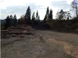 2
2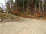 3
3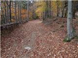 4
4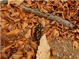 5
5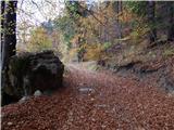 6
6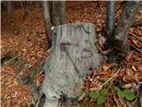 7
7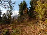 8
8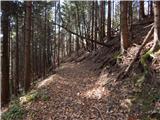 9
9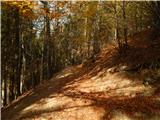 10
10 11
11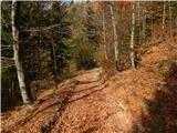 12
12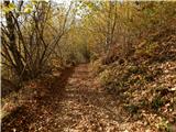 13
13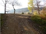 14
14 15
15 16
16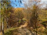 17
17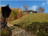 18
18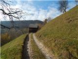 19
19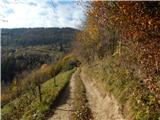 20
20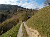 21
21 22
22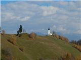 23
23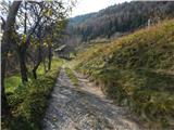 24
24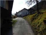 25
25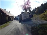 26
26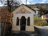 27
27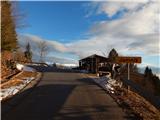 28
28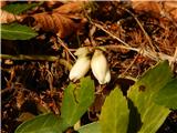 29
29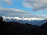 30
30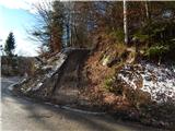 31
31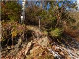 32
32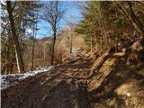 33
33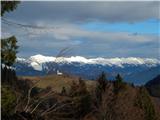 34
34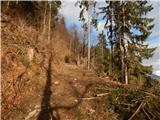 35
35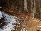 36
36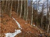 37
37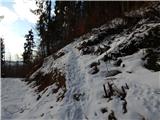 38
38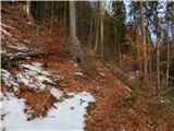 39
39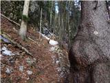 40
40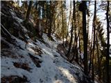 41
41 42
42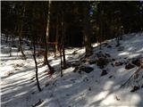 43
43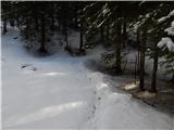 44
44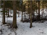 45
45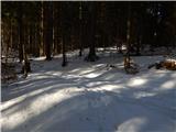 46
46 47
47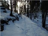 48
48 49
49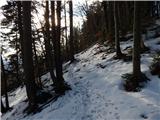 50
50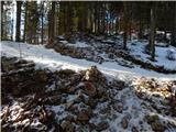 51
51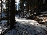 52
52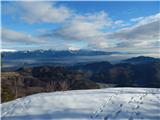 53
53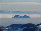 54
54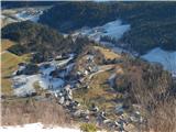 55
55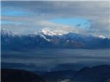 56
56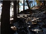 57
57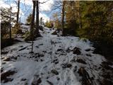 58
58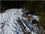 59
59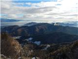 60
60 61
61
Discussion about the trip Njivica - Bela peč (Podbliška gora)
To post a comment you must log in:
If you do not yet have a username, you must first
register.