Starting point: Oblakov Vrh (721 m)
| Latitude/Longitude: | 46,06150°N 13,88970°E |
| |
Walking time: 1 h 30 min
Difficulty: easy unmarked way
Elevation gain: 427 m
Elevation difference along the route: 435 m
Map: Škofjeloško in Cerkljansko hribovje 1:50.000
Recommended equipment (summer):
Recommended equipment (winter): ice axe, crampons
Views: 8.845
 | 1 person like this post |
Access to starting point:
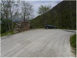
A) First, we drive to Idrija, and then we continue driving towards Tolmin. When we get to Spodnja Idrija we leave the main road and continue left in the direction of Oblakov Vrh and Spodnje, Srednje and Gorenje Kanomlja. Further, we drive on a narrower and winding road, which we follow to the mountain pass Oblakov Vrh. We park a few tens of meters ahead at a suitable spot near the next crossroad. From the crossroad in Spodnja Idrija to Oblakov Vrh there is approximately 14 km of driving.
B) From Most na Soči or Podbrdo we drive to Bača pri Modreju, and then we continue driving towards Idrija. When we get to Dolenja Trebuša we leave the main road and continue driving right in the direction of Čepovan. Immediately after we cross the stream Hotenja, we turn left onto the road in the direction of Oblakov Vrh. The asphalt soon ends, and we follow the macadam road to the mountain pass Oblakov Vrh. We park a few tens of meters before the mountain pass at a suitable spot near the nearby crossroad. From the inn Podkorito in Dolenja Trebuša to the starting point at Oblakov Vrh there is approximately 9 km of driving.
Route description:
From Oblakov Vrh we head onto the macadam road that continues towards the southwest. The road, which ascends moderately, first crosses the slopes to the right, then ascends in a few long hairpin turns to the northwestern edge of the Vojskarska planota plateau. Here a nice view temporarily opens up on part of the ridge of the Spodnje Bohinjske gore, Kojca, Porezen and the surrounding hills, and the road splits into two parts. We choose the upper left road, which starts to ascend more steeply, and we follow it almost to the "abandoned" homestead Medved. Just before the homestead we join the marked path from Gačnik, and the signs for Hudournik direct us sharply left onto a marked footpath that ascends moderately through a strip of forest. The forest quickly thins out, and the path, continuing across a panoramic grassy slope, quickly brings us to the table with a bench on Hudournik.
The stamp and inscription box are located a few steps further on a panoramic rocky promontory, from which a nice view also opens up on the northern side.

Photos:
 1
1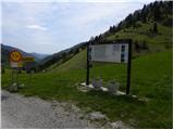 2
2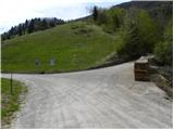 3
3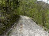 4
4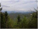 5
5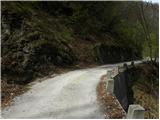 6
6 7
7 8
8 9
9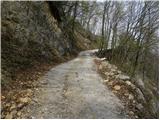 10
10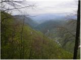 11
11 12
12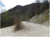 13
13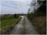 14
14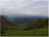 15
15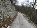 16
16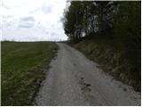 17
17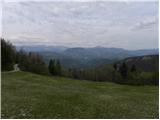 18
18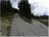 19
19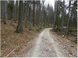 20
20 21
21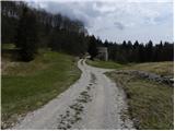 22
22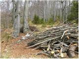 23
23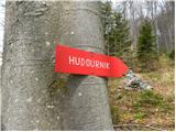 24
24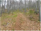 25
25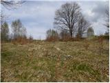 26
26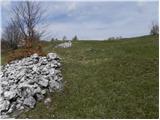 27
27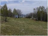 28
28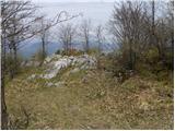 29
29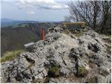 30
30 31
31
Discussion about the trip Oblakov Vrh - Hudournik
|
| tulipan31. 08. 2014 |
Behind the house in picture 12, we turn left uphill and shorten the path by a whole km.
|
|
|
To post a comment you must log in:
If you do not yet have a username, you must first
register.