Odcep s ceste na Jelovo Rujo - Visočica
Starting point: Odcep s ceste na Jelovo Rujo (930 m)
| Latitude/Longitude: | 44,46682°N 15,30105°E |
| |
Walking time: 3 h
Difficulty: easy marked way
Elevation gain: 689 m
Elevation difference along the route: 710 m
Map:
Recommended equipment (summer):
Recommended equipment (winter): ice axe, crampons
Views: 102
 | 1 person like this post |
Access to starting point:
a) We leave the Adriatic Highway in Karlobag and continue left towards Baške Oštarije; if coming from Zadar, turn right. The steep and winding ascending road leads us towards Baške Oštarije. We drive through a short tunnel and arrive at Baške Oštarije. After the Takalice pass the road slowly descends to Brušane. When we arrive in the next place Rizvanuša, at the triangular intersection with a cross, we turn right. We continue on a narrow asphalt road past individual houses. After a good 3 km the road loses its asphalt surface and becomes a gravel road. At first we drive on a level road past a marshy field, but soon we arrive at an intersection where a footpath to Visočica branches off to the left; we continue slightly right towards Visočica (by road). Another 4 km of ascending and winding road follows to the next intersection where the described route begins. The road is not in the best condition, especially for lower vehicles. There is a barrier at the intersection, but in May 2026 it was open and it was possible to drive further.
b) We leave the A1 motorway at the Gospić exit and continue left to the centre of Gospić, where we continue straight towards Karlobag and Baške Oštarije. When we arrive in Rizvanuša, at the triangular intersection with a cross we turn left. We continue on a narrow asphalt road past individual houses. After a good 3 km the road loses its asphalt surface and becomes a gravel road. At first we drive on a level road past a marshy field, but soon we arrive at an intersection where a footpath to Visočica branches off to the left; we continue slightly right towards Visočica (by road). Another 4 km of ascending and winding road follows to the next intersection where the described route begins. The road is not in the best condition, especially for lower vehicles. There is a barrier at the intersection, but in May 2026 it was open and it was possible to drive further.
Route description:
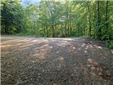
From the intersection we go past the barrier and at first walk on a gentle road. In between on the left we see an information board and a monument to Marino Jakominić. The road then begins to ascend more noticeably and crosses the slope of Siljevo brdo and Golovrh. The road then levels out somewhat and soon the footpath from Rizvanuša joins from the left. After approximately 6 km of walking on the road from the starting point a large white sign directs us right onto a steep path. At first the path crosses above the road, then turns right and ascends steeply through the forest. After 15 minutes of ascent we return to the road, which we follow to the left. To the right one reaches Jelovo Rujo past Trošeljev vrh (the mentioned path is extremely poorly traceable). By road one reaches Stap. The road soon brings us to an intersection above a larger sinkhole called Jadrina poljana, where on the right there is a wooden structure that can offer shelter in case of rain. We continue a few more metres on the ascending road, then the markings lead us left onto the path. Soon we cross the road for the last time. We continue straight on the path. It is also possible to go by road to the turning area and from there back onto the path. The path at first ascends steeply along and beside an indistinct ridge. On the path there is also a short rocky section. Soon afterwards the path from the turning area or the end of the road under Veliki Orljak also joins. We continue right; the path ascends transversely onto a smaller meadow. Here another logging trail joins, leading to Planinska koča Visočica. We continue across the meadow into the forest and soon the path, running parallel to the logging trail, brings us to Planinska koča Visočica, from where there is not much view.
Due to new construction the path is routed somewhat more to the left. The path passes onto flowering grassy slopes. We arrive on the ridge, which we follow to the right. Soon the old path joins us, then the path moves away from the ridge to the right. After a shorter steep ascent the path begins to traverse the slope of the pre-summit of Visočica. After the traverse we descend slightly into a saddle, where a barely noticeable trail branches off to the right, leading past the summit of Visočica towards Rudine and Vaganski vrh. Nearby there is also a small spring, but there is not much water. The path begins to ascend steeply on the south-western slope of Visočica. After 10 minutes of ascent we reach the ridge, which we follow to the right. Soon we are at the HPO stamp; to the summit we still have approximately 100 metres of walking. From the summit a fine view opens in all directions.
The description and pictures refer to the situation in May 2026.

Photos:
 1
1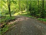 2
2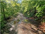 3
3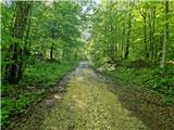 4
4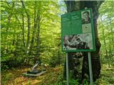 5
5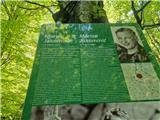 6
6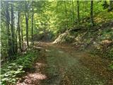 7
7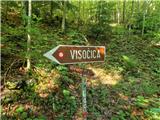 8
8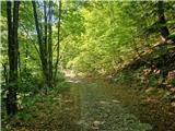 9
9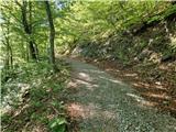 10
10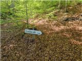 11
11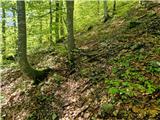 12
12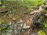 13
13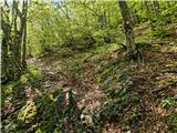 14
14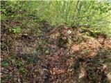 15
15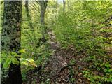 16
16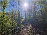 17
17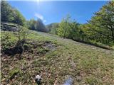 18
18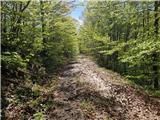 19
19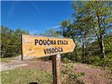 20
20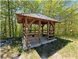 21
21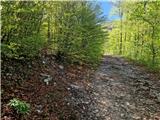 22
22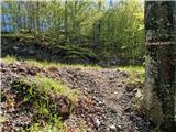 23
23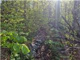 24
24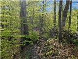 25
25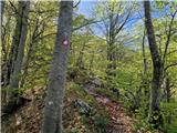 26
26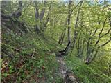 27
27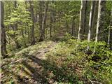 28
28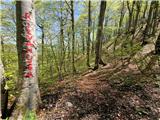 29
29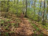 30
30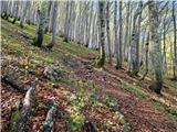 31
31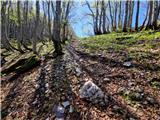 32
32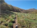 33
33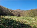 34
34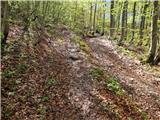 35
35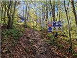 36
36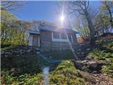 37
37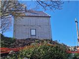 38
38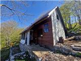 39
39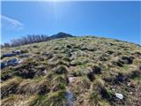 40
40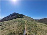 41
41 42
42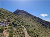 43
43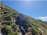 44
44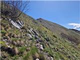 45
45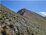 46
46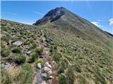 47
47 48
48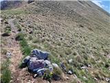 49
49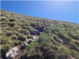 50
50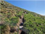 51
51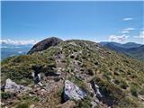 52
52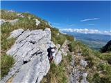 53
53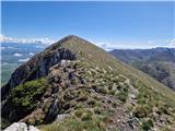 54
54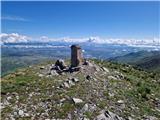 55
55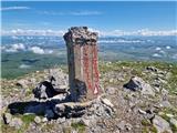 56
56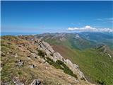 57
57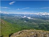 58
58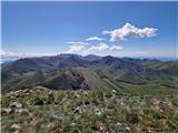 59
59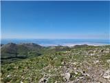 60
60
Discussion about the trip Odcep s ceste na Jelovo Rujo - Visočica
To post a comment you must log in:
If you do not yet have a username, you must first
register.