Ogulin - Klek (Ferdina staza)
Starting point: Ogulin (325 m)
Route name: Ferdina staza
Walking time: 4 h 15 min
Difficulty: difficult marked way
Elevation gain: 856 m
Elevation difference along the route: 900 m
Map:
Recommended equipment (summer):
Recommended equipment (winter):
Views: 4.697
 | 2 people like this post |
Access to starting point:
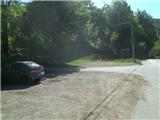
We leave the Zagreb-Split highway at the Ogulin exit. In Ogulin, we look for Vučići Street (it is located by the roundabout; it is best to ask a local) and drive along it to a smaller parking lot, where we will notice hiking signposts.
Route description:
The path officially starts at the railway station Ogulin, but we will begin the tour at the parking lot on Vučići street in Ogulin. At the start of the path, a fence helps guide us into the forest. The path immediately begins to ascend quite steeply through the forest and only emerges from the forest at the point where it approaches the ski track. After 15 minutes of ascent, we reach the Bukovnik plateau. Our path here turns right and temporarily flattens, leading us past two viewpoints from which a beautiful view opens toward Ogulin.
Next follows a slightly longer traverse, then the path becomes steeper again, and at a left turn, it heads west. Higher up, we reach a junction where a path from the village Marković selo joins from the right. Further on, the path is gentle again, running partly through the forest and partly across meadows.
The path ahead leads us to an interesting rocky section, and above it to a meadow where the trail markers temporarily disappear, but we continue toward six trees in the middle of the meadow. After the meadow, the path briefly returns to the forest, then leads us to a smaller meadow. Here, we cross a well-maintained road, then step back into the forest. Next follows about 5 minutes of steeper ascent, and we arrive at the Kneja sports and recreation center.
At Kneja, we can rest before continuing. The path ahead brings us to the asphalt road Ogulin-Jasenak-Novi Vinodolski. We walk along it for about 300 meters, then, before a sharp left turn, we notice a path branching off to the right.
We enter the forest again, and after a minute, we reach an abandoned quarry and climb above it (the path is exposed, so caution is needed) and we enter the forest again.
Through the forest, we ascend more steeply, and the path transitions from the northern slopes to the western slopes. When we reach the power line, the path flattens. Next follows a gentle path through a partly low forest, and the path we walk on becomes increasingly rocky. A little further, we arrive at a poorly marked junction where a path from the village Puškarići joins from the right. After the junction, we notice the Klek summit wall, but we continue straight and enter the forest in the area of the saddle called Soviljica. Next follows a gentle path through the forest, and we soon reach another quarry.
Here, it seems the path continues straight, but markers on a tree trunk direct us to the right, where we quickly reach a meadow and continue across it for about 20 minutes. The path across the meadow is easy to follow, despite the sparse trail markers in this section.
After crossing the meadow, which offers a beautiful view toward the summit of Klek, we enter a strip of bushes. A little further, we reach a strip of beech forest, and the path becomes quite steep. We ascend steeply for a while, then join the path from the village Bjelsko.
After the junction, we reach a bench for rest, followed by two turns. After the second hairpin, a steep ascent follows, and the path then soon flattens. Here, where the path flattens, we are near the cottage, as indicated by a welcome sign, and a memorial plaque is also located nearby.
At the cottage, which is situated exactly at 1000 meters above sea level, we can rest and have a snack, or even sleep (the cottage is supplied only with beverages!).
From the cottage, we head west on a gentle path, which is partly gravelly and rocky, as it runs below cliffs, and it also leads us past an interesting cave. When the path begins to ascend more steeply, we reach a junction where paths from Vitunj and Kamačnik join.
The path ahead ascends via steps, above which an outstanding view opens up. We continue left to the east and reach the most challenging part of the path.
This section is not secured with a steel cable but with a rope. Even after the fixed safety gear ends, we continue ascending for some time on a steep, exposed slope, but then the path finally flattens.
The path ahead leads us past a helicopter landing area, and we continue straight east along a narrow ridge, which is secured with steel cables in some parts. A little further, we arrive just below the summit, where, in a moderately challenging ascent, we climb to the top of Klek.
The path is named after Ferdo Uršan, an Ogulin mountaineer.

Along the route: Kneja (560m), Preval Soviljica (700m), Planinska koča (1000m)
Photos:
 1
1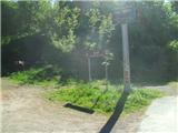 2
2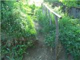 3
3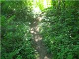 4
4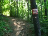 5
5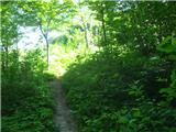 6
6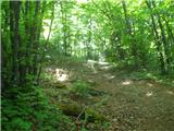 7
7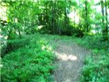 8
8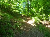 9
9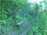 10
10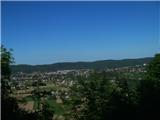 11
11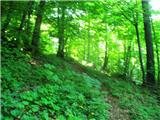 12
12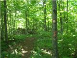 13
13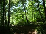 14
14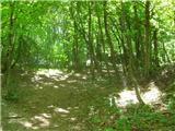 15
15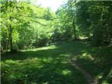 16
16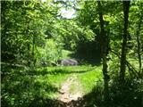 17
17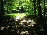 18
18 19
19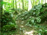 20
20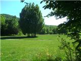 21
21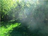 22
22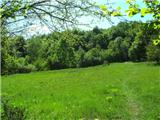 23
23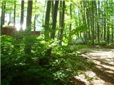 24
24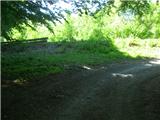 25
25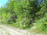 26
26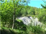 27
27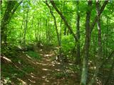 28
28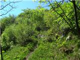 29
29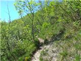 30
30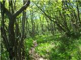 31
31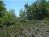 32
32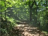 33
33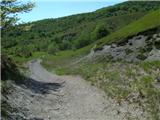 34
34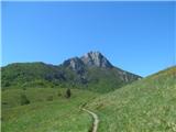 35
35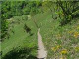 36
36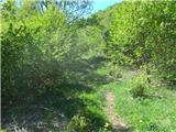 37
37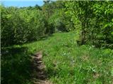 38
38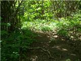 39
39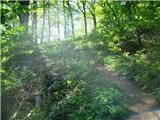 40
40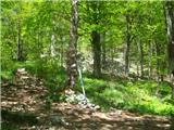 41
41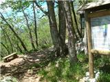 42
42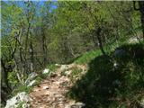 43
43 44
44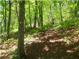 45
45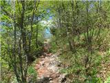 46
46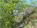 47
47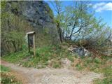 48
48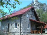 49
49 50
50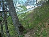 51
51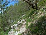 52
52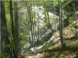 53
53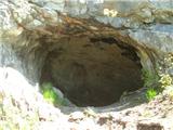 54
54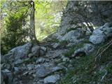 55
55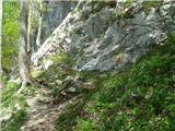 56
56 57
57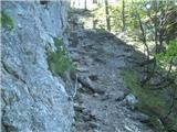 58
58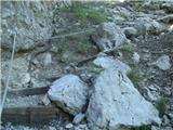 59
59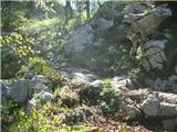 60
60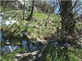 61
61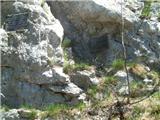 62
62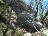 63
63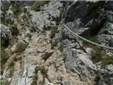 64
64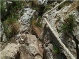 65
65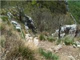 66
66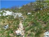 67
67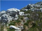 68
68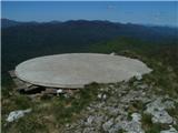 69
69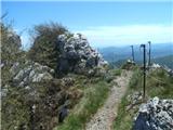 70
70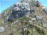 71
71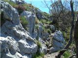 72
72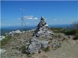 73
73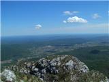 74
74
Discussion about the trip Ogulin - Klek (Ferdina staza)
To post a comment you must log in:
If you do not yet have a username, you must first
register.