OMP Kuzma - Planinska koča Rak
Starting point: OMP Kuzma (373 m)
| Latitude/Longitude: | 46,84918°N 16,06594°E |
| |
Walking time: 1 h 30 min
Difficulty: easy marked way
Elevation gain: -83 m
Elevation difference along the route: 35 m
Map: Pomurje 1:40.000
Recommended equipment (summer):
Recommended equipment (winter):
Views: 98
 | 1 person like this post |
Access to starting point:
We drive to Rogašovci, and then we follow the signs towards Kuzma and Austria. A little before the Kuzma border crossing, we turn right towards Grad and Kuzma. Before reaching Kuzma, we turn left at the next right turn onto an unmarked side road, along which we drive to the small border crossing, where we park on the Slovenian side by the old customs cottage.
Route description:
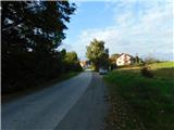
From the starting point, we continue towards Slovenia, at the traffic sign marking the end of the 50 km/h zone we turn right onto a narrower asphalt road, also indicated by the trail blazes; for a short distance the route runs entirely on Austrian territory, then the road follows the national border past a nearby field. A few minutes further on, after passing the last field and entering a dense forest, we begin to descend more noticeably while still walking along the old asphalt road. When after some time the old asphalt road turns sharply right and crosses onto the Austrian side of the border, we continue straight ahead, still following the blazes and keeping the same direction.
In the forest, at the boundary stones and barrier, we leave the border area and continue entirely on the Slovenian side, gradually descending further. A little further on we leave the forest and reach a wider asphalt road, which we follow left and uphill towards Kuzma (right downhill leads to Sotina); we walk along it to the first turn-off on the right, located next to the sign marking the beginning of the municipality of Kuzma. Here we turn right onto a macadam road marked with blazes; we first pass a nearby meadow visible on the right, then enter the forest and walk through it to the transmitters, where we join the path that starts in the centre of Kuzma.
The path ahead leads us also past a smaller hamlet, where the path branches off to the right downwards towards Sotina, and we go straight and continue walking on the asphalt road, for a short time also parallel to the road.
At the crossroads, we continue straight. The panoramic path, which leads us between occasional houses, then turns left off the road and downhill onto a grassy cart track. On the cart track, we go past the hunting observatory, and then the path turns a little to the right and past a house quickly brings us to an asphalt road which we follow left downwards, where after a few steps we arrive at the sports recreation center Slavček.
After the parking lot of the mentioned center we go right and continue to the nearby mountain hut Planinski dom Rak or Okrepčevalnica Rak.

Photos:
 1
1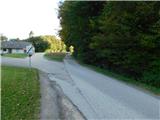 2
2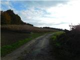 3
3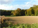 4
4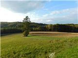 5
5 6
6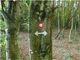 7
7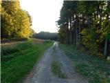 8
8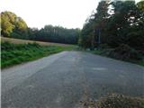 9
9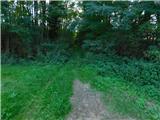 10
10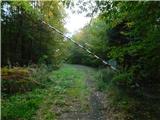 11
11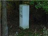 12
12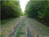 13
13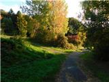 14
14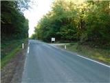 15
15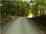 16
16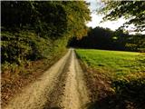 17
17 18
18 19
19 20
20 21
21 22
22 23
23 24
24 25
25 26
26 27
27 28
28 29
29 30
30 31
31 32
32 33
33 34
34
Discussion about the trip OMP Kuzma - Planinska koča Rak
To post a comment you must log in:
If you do not yet have a username, you must first
register.