Starting point: Onek (585 m)
| Latitude/Longitude: | 45,62190°N 14,94560°E |
| |
Walking time: 45 min
Difficulty: easy marked way
Elevation gain: 245 m
Elevation difference along the route: 245 m
Map:
Recommended equipment (summer):
Recommended equipment (winter): ice axe, crampons
Views: 1.070
 | 4 people like this post |
Access to starting point:
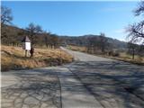
A) We drive to Kočevje, where from the traffic-light intersection we continue in the direction of the settlement Koprivnik. Further on, we drive past the cemetery, then Kočevje ends and the road leads us through the settlements Cvišlerji and Zgornji Cvišlerji. When we get to the settlement Onek, at the information board the described path begins, and we can park already a little earlier on an appropriate place by the road.
B) From Črnomelj we drive towards Kočevje, a little before the settlement Nemška Loka we turn right towards Koprivnik. From Koprivnik we follow the signs for Kočevje, when we get to the settlement Onek at the information board the described path begins, we park on an appropriate place somewhere nearby.
Route description:
From the starting point, we continue on the asphalt road towards Koprivnik, soon after the road sign which marks the end of the settlement Onek, a road branches off to the right towards the settlement Mačkovec. Here we go straight, when the road turns left we leave it and continue straight through a meadow, where the signs of the Roška pot also direct us. Through the meadow, where the footpath is not visible, we ascend straight upwards, after a few minutes we return to the road. For a short time we walk on the road, then we go slightly left onto a cart track along which the signs of the Roška pot continue (signs in the shape of bear footprints).
The cart track soon narrows and turns somewhat to the left, after the bend we leave it to the right onto an initially poorly trodden footpath. There follows a few minutes of ascent through the forest, then we arrive at the power line route, where the path continues in a moderate ascent. Higher up we return to the forest, the path turns somewhat more to the right and ascends diagonally across the forested slope. When the forest thins out, we already see the transmitters ahead and a little further the chapel and hunting hut on Lovski vrh.
Description and pictures refer to the condition in January 2020.

Photos:
 1
1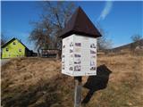 2
2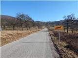 3
3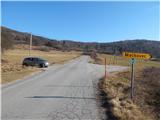 4
4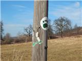 5
5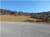 6
6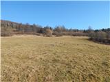 7
7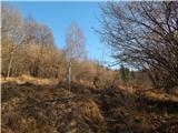 8
8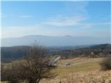 9
9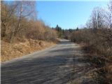 10
10 11
11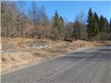 12
12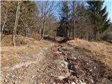 13
13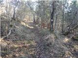 14
14 15
15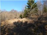 16
16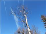 17
17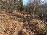 18
18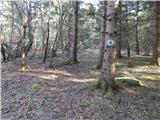 19
19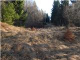 20
20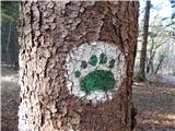 21
21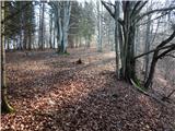 22
22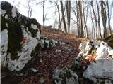 23
23 24
24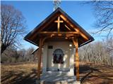 25
25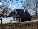 26
26 27
27
Discussion about the trip Onek - Lovski vrh
To post a comment you must log in:
If you do not yet have a username, you must first
register.