Oplotnica - Dom na Osankarici (on Kebelj Transversal)
Starting point: Oplotnica (379 m)
| Latitude/Longitude: | 46,38710°N 15,44580°E |
| |
Route name: on Kebelj Transversal
Walking time: 3 h
Difficulty: easy marked way
Elevation gain: 814 m
Elevation difference along the route: 850 m
Map: Pohorje 1:50.000
Recommended equipment (summer):
Recommended equipment (winter):
Views: 4.735
 | 2 people like this post |
Access to starting point:
We leave the Maribor - Ljubljana highway at the Tepanje exit. From the roundabout, we drive to the village Tepanje and head in the direction of Slovenska Bistrica, but only to the junction where we will notice signs for Oplotnica. Here we turn left and drive along the road to the mentioned place. We park in Oplotnica on one of the many parking lots (there is usually enough parking).
Route description:
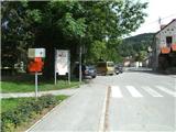
The beginning of the path and the first red hiking signposts we will notice in the center of Oplotnica, from where we continue towards the east along Ulica Pohorskega bataljona. Along the mentioned road, we walk to the place where signs for Lačna Gora direct us left uphill onto Vinogradniška ulica, along which in two turns we arrive at the mentioned village.
For some time we still ascend relatively steeply on asphalt, then when the asphalt road starts to descend we leave it and continue the path right past the shrine on a gentle path (along the path there are signs for Črno jezero). After approximately a minute of further walking, we go left into the forest (trail mark and arrow on birch) through which we begin to ascend more steeply to a forest road, which we only cross. Above the road, the path turns left and gradually transitions into a more overgrown section, through which we quickly arrive at the church of St. Mohor.
From the little church, we continue north along an initially level path, which enters a spruce forest and begins to ascend more steeply. The forest soon ends and the path brings us through meadows to the village Kebelj.
When we reach the first houses in the village, we cross the main road (on the other side of the road are hiking signs that show the continuation of the path) and ascend towards the nearby residential house. Before the yard, we turn right onto the path that leads us to a larger meadow (this section is not marked). We walk along a poorer path across the meadow towards a smaller wooden hut, which is located by the first larger tree.
From the hut, we walk to the nearby cross, where we go left (right: cemetery at Kebelj village and water). The path, which has so far been level for some time, begins to ascend more steeply and enters the forest. Once in the forest, the Kebelj transversal joins almost unnoticeably (the path signs are yellow-green from here for some time). At the end of the steep section, we arrive at the ruins of Zajčev grad.
We bypass the castle on the left side and enter the forest, where our path begins to descend. At the end of the descent, we step onto asphalt and arrive at the village Nadgrad.
A little further ahead, we reach a right bend, where we continue left in the direction of the Kebelj transversal (right: Sv. Trije Kralji and Črno jezero). The path ahead quickly takes us out of the forest and across a meadow to the next farm. We continue past the farm along a level road, which a little further leads past a smaller waterfall, behind which we leave the road and continue right. A few minutes of ascent follow and we arrive at the Peterček farm, which we quickly bypass. The path returns to the forest and continues ascending towards the Grmi farm, by which there is an old and large Grmova lipa linden tree. Behind the farm, the path returns to the forest and ascends gently. Just before stepping out of the forest, we cross a stream over a small bridge, then across a meadow or along a grassy cart track we ascend to the Košir farm (during the ascent to the mentioned farm, a beautiful view opens towards Oplotnica).
From Košir, we continue along a macadam road, along which we walk to the Adam farm (the farm is located in the Kot settlement), where we step onto an asphalt road. Along the asphalt, we will walk to the Vršič farm (small ponds are located nearby), from where we continue upwards. Approximately 30 minutes of walking along the asphalt road follow to Dom na Osankarici (the last 5 minutes are not asphalted).
The path is recommended to be done in good weather, as nice views open up several times during the ascent.

Photos:
 1
1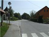 2
2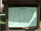 3
3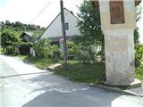 4
4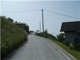 5
5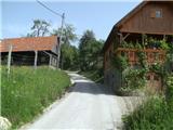 6
6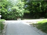 7
7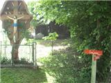 8
8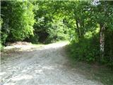 9
9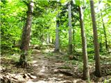 10
10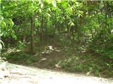 11
11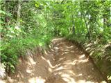 12
12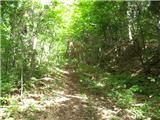 13
13 14
14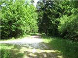 15
15 16
16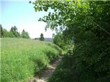 17
17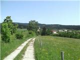 18
18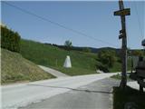 19
19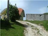 20
20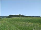 21
21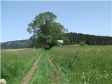 22
22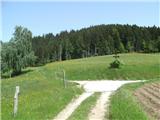 23
23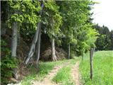 24
24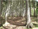 25
25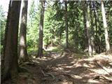 26
26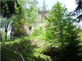 27
27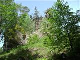 28
28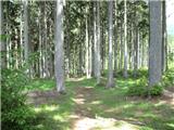 29
29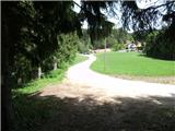 30
30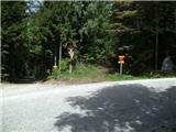 31
31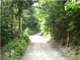 32
32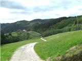 33
33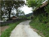 34
34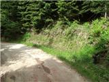 35
35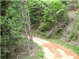 36
36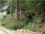 37
37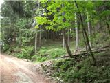 38
38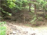 39
39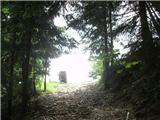 40
40 41
41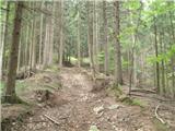 42
42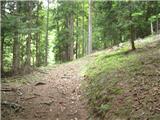 43
43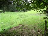 44
44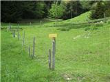 45
45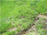 46
46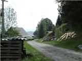 47
47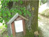 48
48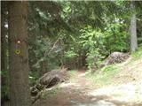 49
49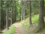 50
50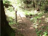 51
51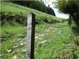 52
52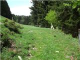 53
53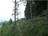 54
54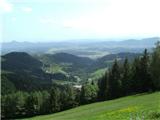 55
55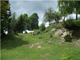 56
56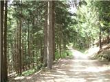 57
57 58
58 59
59 60
60 61
61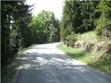 62
62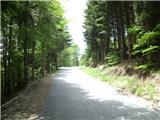 63
63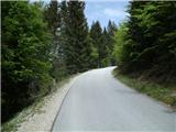 64
64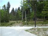 65
65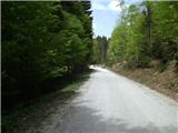 66
66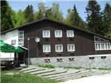 67
67
Discussion about the trip Oplotnica - Dom na Osankarici (on Kebelj Transversal)
|
| ansev12326. 06. 2019 |
The path is very well marked. However, I was disturbed at several sections where an electric shepherd or fence was placed across the path - there it was necessary to climb over. At the hut we encountered quite rude caretakers or the caretaker. From food they only had 2 menus available (roasted trout and cutlet with side dish), which one had to wait for even an hour or more. I do not recommend lunch at the hut.
|
|
|
|
| TheBizii27. 01. 2025 09:40:41 |
I hiked the trail on 25 January 2025. Still nicely marked, easy to follow even on one's own description. Just before kmetija Grmi you'll come across a pasture with sheep, which you can cross by unhooking the gate (and of course re-hooking it behind you). After the pasture, walk to the houses you see to the left nearby, as there is another such gate there. Higher up, at kmetija Košir, two dogs followed me for quite a while (in both directions). They turned back on their own when they were too far from the farm.
Dom na Osankarici is no longer operating, as it burned down in April 2021.
Otherwise, I needed 3 hours and 20 minutes uphill, 2 hours and 10 minutes downhill. It's quite demanding in terms of fitness.
|
|
|
To post a comment you must log in:
If you do not yet have a username, you must first
register.