Oplotnica - Dom na Osankarici (via Črno jezero)
Starting point: Oplotnica (379 m)
| Latitude/Longitude: | 46,38710°N 15,44580°E |
| |
Route name: via Črno jezero
Walking time: 3 h 45 min
Difficulty: easy marked way
Elevation gain: 814 m
Elevation difference along the route: 970 m
Map: Pohorje 1:50.000
Recommended equipment (summer):
Recommended equipment (winter):
Views: 8.574
 | 2 people like this post |
Access to starting point:
We leave the Maribor - Ljubljana highway at the Tepanje exit. From the roundabout we drive to the village Tepanje and go in the direction of Slovenska Bistrica, but only to the junction where we will notice signs for Oplotnica. Here we go left and drive along the road to the mentioned place. We park in Oplotnica on one of the many parking lots (there are usually enough parking lots).
Route description:
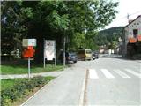
The beginning of the path and the first red hiking signposts we will notice in the center of Oplotnica, from where we continue towards the east along Ulica Pohorskega bataljona. Along the mentioned road we walk to the place where signs for Lačna Gora direct us left uphill to Vinogradniška ulica, along which in two turns we arrive at the mentioned village.
For some time we still ascend quite steeply on asphalt, then when the asphalt road begins to descend we leave it and continue the path right past the shrine on a gentle path (along the path there are signs for Črno jezero). After approximately a minute of further walking we go left into the forest (marking and arrow on birch) through which we begin to ascend more steeply to a forest road, which we only cross. Above the road the path turns left and gradually transitions into a more overgrown section, through which we quickly arrive at the church of St. Mohor.
From the little church we continue north along an initially flat path, which transitions into a spruce forest and begins to ascend more steeply. The forest soon ends and the path brings us through meadows to the village Kebelj.
When we reach the first houses in the village we cross the main road (on the other side of the road there are hiking signs showing the continuation of the path) and ascend towards the nearby residential house. Before the yard we turn right onto the path that leads us to a larger meadow (this section is not marked). We walk along a poorer path across the meadow towards a smaller wooden hut located by the first larger tree.
From the hut we walk to the nearby cross, where we go left (right cemetery by the village Kebelj and water). Until now the path, which has been flat for some time, begins to ascend more steeply and enters the forest. Once in the forest, the Kebelj transversal joins almost imperceptibly (path markings are yellow-green from here for some time). At the end of the steep section we will arrive at the ruins of Zajčev grad.
We bypass the castle on the left side and enter the forest, where our path begins to descend. At the end of the descent we step onto asphalt and arrive at the village Nadgrad.
A little further we arrive at a right bend, where Kebeljska pot branches off to the left (Kebeljska pot leads past the farm Litič), while we continue right towards the farm Štefanija, near which we continue left into the forest. When the forest ends we arrive at the farm Strnad and behind it at the road. We ascend along the road to the next right bend, where the signpost directs us left onto the meadow. For some time we walk across the meadow (behind us there is a nice view), then past the log cabin we arrive at the next house, where we step onto the road again. On asphalt this time we walk to the junction at the farm Juhart.
From the mentioned junction we continue left along a wider forest road (straight to Sv. Trije Kralji), which descends slightly, and we walk along it to the place where the markings lead us right. First we ascend through sparse forest, then through denser forest, where at junctions we follow the markings. Higher up we arrive at the farm Kos, where we temporarily step onto the asphalt road, along which we walk only about half a minute, then the signs lead us back into the forest. Through the forest the path begins to ascend more steeply, and the surface becomes somewhat more rocky. For some time we ascend relatively steeply along an old partly stone track, then we arrive at a less steep forested cart track. Further on the forest thins out several times, and the path leads us across several small springs. A little higher we will reach a wider gravel road that leads from Osankarica towards Sv. Trije Kralji (when we reach the road we are at the highest point of our path), which we only cross.
From the road crossing onwards the path begins to descend gently along an often quite muddy path. Further on the terrain becomes more marshy, and wooden footbridges occasionally help us. Along such a path we soon reach Črno jezero.
The path continues along the northern side of the lake and then across a footbridge, from which we see a small dam due to which the lake was also formed.
From the lake onwards a nicely arranged path leads us, which due to the marsh is mostly paved. The path from the lake initially ascends barely noticeably, then, as the marsh gradually ends, it begins to descend towards the nearby parking lot, from which it is only a minute's walk to Dom na Osankarici.
The path is recommended to be done in good weather, as nice views open up several times during the ascent.

Photos:
 1
1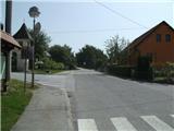 2
2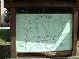 3
3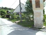 4
4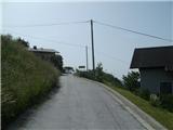 5
5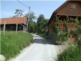 6
6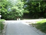 7
7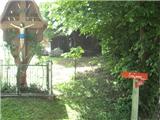 8
8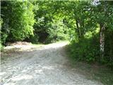 9
9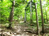 10
10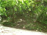 11
11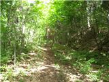 12
12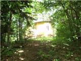 13
13 14
14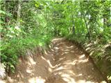 15
15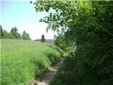 16
16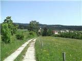 17
17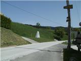 18
18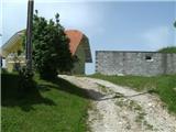 19
19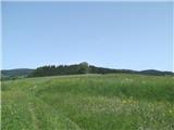 20
20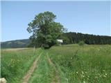 21
21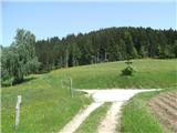 22
22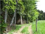 23
23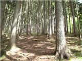 24
24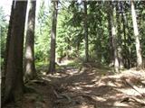 25
25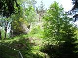 26
26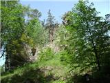 27
27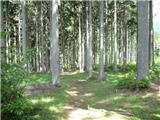 28
28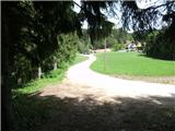 29
29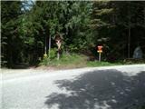 30
30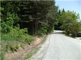 31
31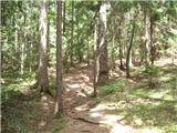 32
32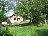 33
33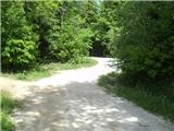 34
34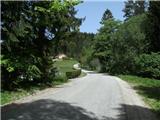 35
35 36
36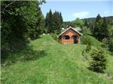 37
37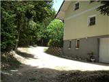 38
38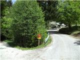 39
39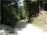 40
40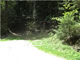 41
41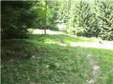 42
42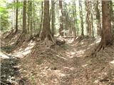 43
43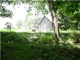 44
44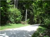 45
45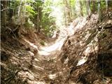 46
46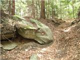 47
47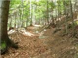 48
48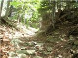 49
49 50
50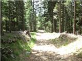 51
51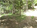 52
52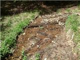 53
53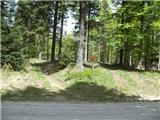 54
54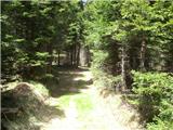 55
55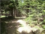 56
56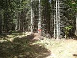 57
57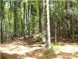 58
58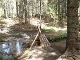 59
59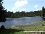 60
60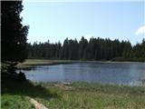 61
61 62
62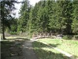 63
63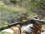 64
64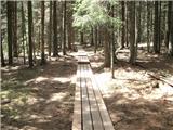 65
65 66
66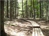 67
67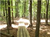 68
68 69
69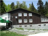 70
70
Discussion about the trip Oplotnica - Dom na Osankarici (via Črno jezero)
|
| planika19773. 06. 2013 |
Looks very nice and really nice and precise path description, thanks! 
|
|
|
|
| Lidija Lida29. 07. 2013 |
On Saturday we went on this trip and it was a great tour. The path description is so accurately described that it's impossible to miss the path. Thanks to those who maintain this site.
For a very hot day like this Saturday, this is an excellent tour because most of the path is through the forest. ;-)
|
|
|
To post a comment you must log in:
If you do not yet have a username, you must first
register.