Ortnek - Sveti Gregor on Slemena
Starting point: Ortnek (540 m)
| Latitude/Longitude: | 45,79180°N 14,67920°E |
| |
Walking time: 1 h 10 min
Difficulty: easy marked way
Elevation gain: 197 m
Elevation difference along the route: 260 m
Map:
Recommended equipment (summer):
Recommended equipment (winter):
Views: 4.536
 | 1 person like this post |
Access to starting point:
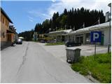
A) From Ljubljana, we drive towards Kočevje, but only to the settlement Ortnek. Here at the end of the settlement, we turn right, we cross a railway track and we park by an old gas station.
B) From Kočevje we drive towards Ljubljana, but only to the settlement Ortnek, where we turn left, we cross the railway track and then we park at the old gas station.
Route description:
From the parking lot at the abandoned gas station, we continue on a local road towards the south. Already after a few meters, we cross the side track of the railway line, after which we go right on an ascending road, which passes past a residential house. Above the house, the road goes into the forest, and next to it we notice the first blazes and a notification that we are entering the bear area. After a few minutes of the ascent, we get to a smaller crossroad, where we continue on the right road, and higher it brings us to a marked crossing.
At the crossing, the path branches off to the left towards the castle Ortnek, and we go slightly right and we still continue on the macadam road. Further, the forest gradually gets thinner, and the road brings us to the village Hudi Konec. Next follows some descent and further an asphalt road quickly brings us to the neighbouring settlement Hojče. Next follow a few smaller crossroads, where we continue straight or in the direction towards Sveti Gregor. When we already get to the settlement Sveti Gregor, the path at first leads past the NOB monument, after which we quickly get to the fire station and church of St. Gregory the Great.

Along the route: Graben (742m), Hojče (706m)
Photos:
 1
1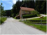 2
2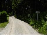 3
3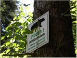 4
4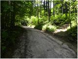 5
5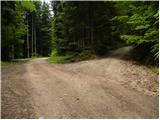 6
6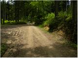 7
7 8
8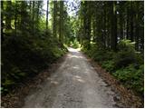 9
9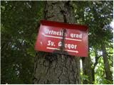 10
10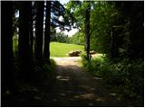 11
11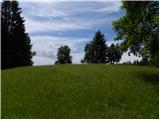 12
12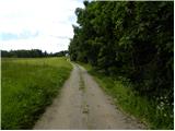 13
13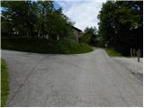 14
14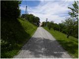 15
15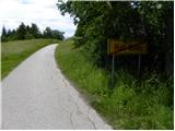 16
16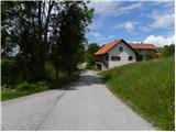 17
17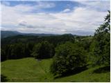 18
18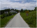 19
19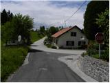 20
20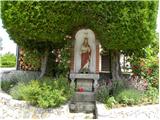 21
21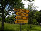 22
22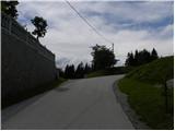 23
23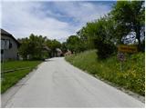 24
24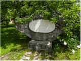 25
25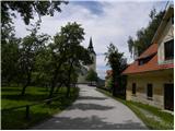 26
26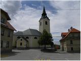 27
27 28
28
Discussion about the trip Ortnek - Sveti Gregor on Slemena
To post a comment you must log in:
If you do not yet have a username, you must first
register.