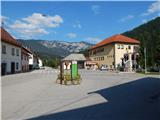
Starting point: Osilnica (290 m)
| Latitude/Longitude: | 45,52900°N 14,69850°E |
| |
Walking time: 3 h 50 min
Difficulty: easy marked way
Elevation gain: 585 m
Elevation difference along the route: 865 m
Map:
Recommended equipment (summer):
Recommended equipment (winter): ice axe, crampons
Views: 5.850
 | 1 person like this post |
Access to starting point:
A) First, we drive to Ribnica, and then we continue driving towards Kočevje. After Dolenja vas we continue right in the direction of Grčarice, Gotenica and Kočevska Reka. In Kočevska Reka we continue right in the direction of Borovca pri Kočevski Reki, mountain pass Strma Reber and Osilnica. In Borovec we once again continue right, and then past hamlet Ravne in a few kilometers we get to mountain pass Strma Reber, which is situated at an altitude of 993 m. After the mountain pass the road starts descending, then after 19 zig-zags and some additional kilometers of driving it brings us to the settlement Sela, and a little lower also to Osilnica, where in the center of the settlement, near the Mercator store, we also park.
B) From Kočevje we drive towards the border crossing Petrina, and then at the end of the settlement Štalcerji we continue right towards Kočevska Reka. In Kočevska Reka we continue left in the direction of Borovec pri Kočevski Reki, mountain pass Strma Reber and Osilnica. In Borovec we continue right, and then past hamlet Ravne in a few kilometers we get to mountain pass Strma Reber, which is situated at an altitude of 993 m. After the mountain pass the road starts descending, then after 19 zig-zags and some additional kilometers of driving it brings us to the settlement Sela, and a little lower also to Osilnica, where in the center of the settlement, near the Mercator store, we also park.
C) From the border crossing Petrina we continue on the road in the direction of Osilnica. Further, we drive through the settlements Grivac, Gladloka, Kuželj, Srobotnik ob Kolpi, Mirtoviči, Bosljiva Loka, Grintovec pri Osilnici, Ložec and Ribjek to Osilnica, where, in the middle of the settlement near the Mercator store, we park.
Route description:
From the starting point, we continue on the road which leads further towards Petrina and runs by the river Kolpa. When Osilnica ends, the path leads past a few more houses, which belong to Osilnica. Behind the house with house number Osilnica 1, over the bridge we cross a smaller stream and then right behind the bridge we continue left on a marked footpath, where after a few steps we notice the first blazes. We continue on a cart track which is gently to moderately ascending through the forest, and at some crossings we follow it in the direction of the blazes. Higher up the forest ends and the path past the hunting observatory brings us to the settlement Križmani, where the path leads among some houses.
Behind the houses, we cross the asphalt road, and then we ascend straight upwards, where the path leads through a smaller orchard. A little further, where the meadow becomes more overgrown, the path turns right and passes into the forest. For a few minutes we are ascending through the forest, after that over a partly overgrown meadow we ascend to the main road Osilnica - Kočevska Reka, which we only cross. We continue past the storage of logs, and then through a short lane of forest, we reach the local road which leads towards the settlement Bezgovica. When we reach the mentioned village, at the smaller crossroad we continue slightly right, and then with nice views of Sveta Gora and Gorski Kotar we get to the upper part of the village, where among houses we follow the blazes. Behind the last house, we notice hiking signposts, which point us to the hillside, on the path which passes into the forest, through which it gradually starts ascending steeper. After a short ascent from the right there also joins the path from the 18th hairpin turn of the road on Strma Reber, and we continue straight on the steeper path, which higher in a diagonal ascent brings us to a steep small valley, through which we continue the ascent. Higher the blazes from the rough small valley lead left on the path which passes along the edge of an occasionally precipitous ridge. We continue the ascent on an occasionally somewhat more overgrown path, which avoids the precipices somewhat to the right, and occasionally some view opens up on the surrounding hills. A few minutes higher we reach a wide cart track, which we follow to the left; we walk along it to the spot where it splits into two parts.
We continue on the slightly left cart track (the right cart track bypasses Bezgarska planina and leads towards the mountain pass Strma Reber), which quickly leads us out of the forest onto the bottom part of the mountain pasture Bezgarska planina. When we reach the mountain pasture we walk across the meadow in a minute or two to the bigger hunting observatory.
From the hunting observatory, where there is a marked junction, we continue right in the direction of Cerk and Firstov rep (straight Taborska stena, Dragarji...), on the path which descends to a smaller garden in the middle of the mountain pasture. When the path passes into the forest, at the crossing of cart tracks we continue straight (here from the right joins the cart track which a little before the mountain pasture branches off straight from the marked path and is about a minute shorter than the marked path). Next follows a few minutes of ascent through the forest and then we reach the main road Osilnica - Kočevska Reka, which we carefully cross.
On the other side of the road, we continue in the direction of Cerk and Firstov rep and continue on the forest road. The path ahead leads us on the forest road, from which already after a few minutes a marked path branches off to the right.
We continue on the marked path (it is also possible to continue on the unmarked road, because the marked path after some time returns to the mentioned road, and the path along the road is also a little shorter), which passes into a dense forest. Through the forest we first start moderately ascending, carefully following the blazes, because otherwise the relatively easy-to-follow path is poorly beaten. When the path a little higher flattens, on the left side we bypass the indistinct peak Luknja (1079 m), to which we can ascend on easier pathless terrain in a few minutes; otherwise we continue on the marked path, which as described bypasses the peak on the left side. Next follows a few shorter ascents and descents, then a somewhat longer descent, which ends when we reach the macadam road.
When we reach the road we continue right (left marked path to Cerk and the road by which we can return to the starting point) in the direction of Firstov rep. On the road we ascend slightly to moderately, walking along it to its end or turning point.
On the left side of the turning point we notice signs for Firstov rep and for the first time also for Loška stena, which direct us onto a cart track which gradually starts descending. When after a few minutes the cart track ends, on the left we notice a salt lick for wild animals, and we continue straight downwards on the marked footpath, on which in a few steps we get to the inscription box on Firstov rep.
From the inscription box we continue the descent on the marked path in the direction of Loška stena. Quite a scenic path, from which beautiful views open up on the nearby walls, towers and hills, leads us along the edge of the cliffs, which the path avoids on the right side, so there is no major danger of slipping, except of course if we go to the edge for a nice view. A little lower the path passes into the forest and flattens. Next follows a short ascent, then an easy descent to the precipitous edge of the peak of Loška stena, from where a really nice view opens onto Zgornja Kolpska dolina and the surrounding hills.
Osilnica - Bezgarska planina 2:10, Bezgarska planina - Firstov rep 1:15, Firstov rep - Loška stena 25 minutes.
Description and pictures refer to the condition in the year 2015 (August).

Photos:
 1
1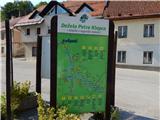 2
2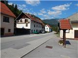 3
3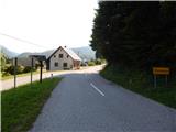 4
4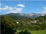 5
5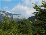 6
6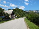 7
7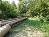 8
8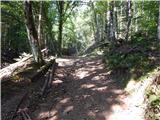 9
9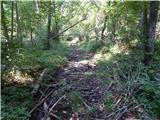 10
10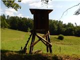 11
11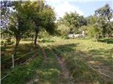 12
12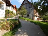 13
13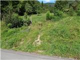 14
14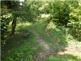 15
15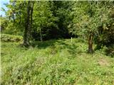 16
16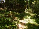 17
17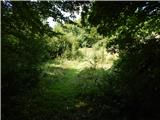 18
18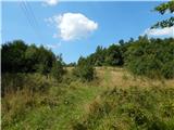 19
19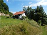 20
20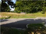 21
21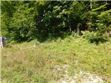 22
22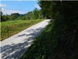 23
23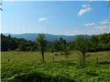 24
24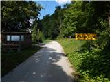 25
25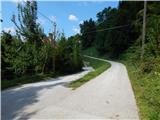 26
26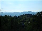 27
27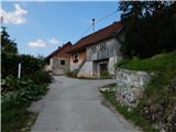 28
28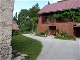 29
29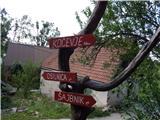 30
30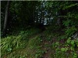 31
31 32
32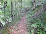 33
33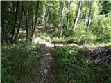 34
34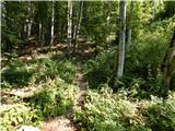 35
35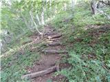 36
36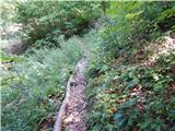 37
37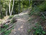 38
38 39
39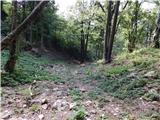 40
40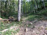 41
41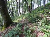 42
42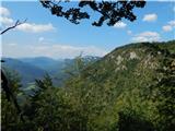 43
43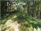 44
44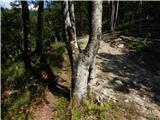 45
45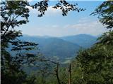 46
46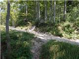 47
47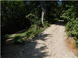 48
48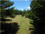 49
49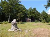 50
50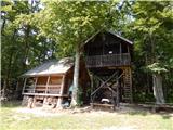 51
51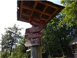 52
52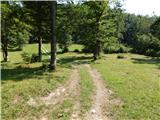 53
53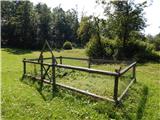 54
54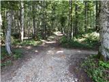 55
55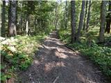 56
56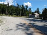 57
57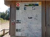 58
58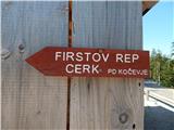 59
59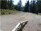 60
60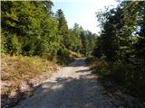 61
61 62
62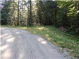 63
63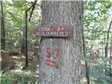 64
64 65
65 66
66 67
67 68
68 69
69 70
70 71
71 72
72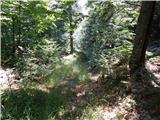 73
73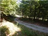 74
74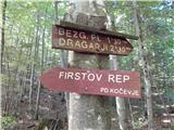 75
75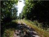 76
76 77
77 78
78 79
79 80
80 81
81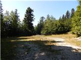 82
82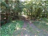 83
83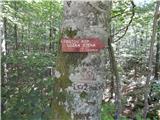 84
84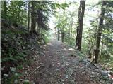 85
85 86
86 87
87 88
88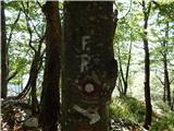 89
89 90
90 91
91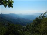 92
92 93
93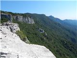 94
94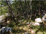 95
95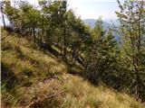 96
96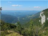 97
97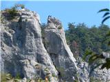 98
98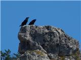 99
99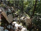 100
100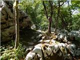 101
101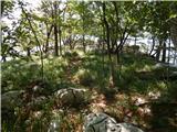 102
102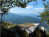 103
103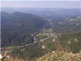 104
104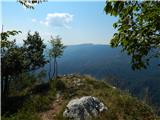 105
105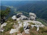 106
106 107
107
Discussion about the trip Osilnica - Loška stena
To post a comment you must log in:
If you do not yet have a username, you must first
register.