Starting point: Otoče (404 m)
| Latitude/Longitude: | 46,31030°N 14,23270°E |
| |
Walking time: 30 min
Difficulty: easy unmarked way
Elevation gain: 70 m
Elevation difference along the route: 90 m
Map: Karavanke - osrednji del 1:50.000
Recommended equipment (summer):
Recommended equipment (winter): ice axe, crampons
Views: 2.240
 | 1 person like this post |
Access to starting point:
A) From the Ljubljana-Jesenice highway at the Podtabor junction we go in the direction of Tržič and Ljubelj, then we immediately leave the highway and go right towards Zvirče and Kropa. From the roundabout we take the second exit in the direction of Podbrezje and Kropa, in Podbrezje we go right towards Radovljica, Kropa and Podnart. We then drive towards Radovljica, from the settlement Posavec we go left towards Otoče. Next follows the crossing of the Sava River, after the railway track we go left and park on the arranged parking lot by the railway.
B) From the Jesenice-Ljubljana highway we go to the Brezje exit, then we follow the signs for Kropa and Podnart. When we arrive at the settlement Posavec we go right towards Otoče, where we drive across the bridge over the Sava River, after the railway track we go left and park on the arranged parking lot.
Route description:
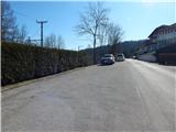
From the parking lot in Otoče we continue on the asphalt road towards Zaloše, when Otoče ends the road gradually passes into the forest. For a short time we still continue along the railway, then the signs for Stovc direct us right onto a cart track that gently ascends through the forest. When the cart track turns slightly right we leave it and continue slightly left on a beaten and very gentle footpath, from which after two minutes of further walking we go right onto the path towards Stovc. A gentle ascent and crossing of the cart track follows, then the path becomes steeper, and we bypass the scenic cliffs on the right side. When we step onto the top of the slope break we continue left and further walk on a gentle footpath that continues towards the southeast. A few minutes of easy walking follow, where at the junctions we keep to the slightly left directions and arrive at the Stovc viewpoint, from which a nice view opens towards the valley and the Alps.
Description and pictures refer to the condition in February 2020.

Photos:
 1
1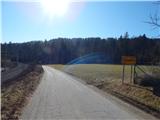 2
2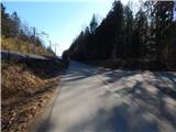 3
3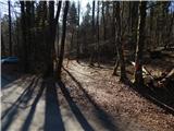 4
4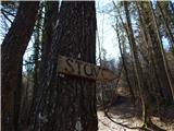 5
5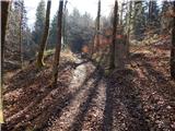 6
6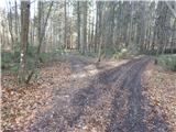 7
7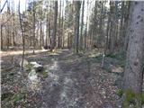 8
8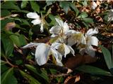 9
9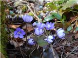 10
10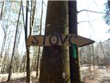 11
11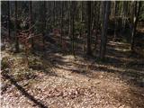 12
12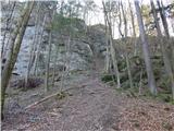 13
13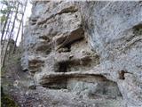 14
14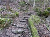 15
15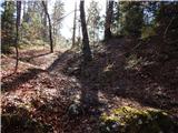 16
16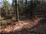 17
17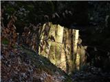 18
18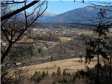 19
19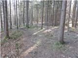 20
20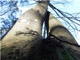 21
21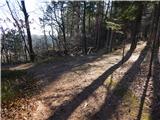 22
22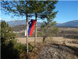 23
23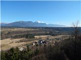 24
24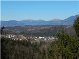 25
25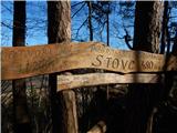 26
26
Discussion about the trip Otoče - Stovc (Stolec)
To post a comment you must log in:
If you do not yet have a username, you must first
register.