Pamž / Pamschbauer - Rjautza (via Sveta peč)
Starting point: Pamž / Pamschbauer (1068 m)
| Latitude/Longitude: | 46,44540°N 14,25330°E |
| |
Route name: via Sveta peč
Walking time: 3 h 15 min
Difficulty: easy pathless terrain, partly demanding marked way
Elevation gain: 721 m
Elevation difference along the route: 840 m
Map: Karavanke - osrednji del 1:50.000
Recommended equipment (summer):
Recommended equipment (winter): ice axe, crampons
Views: 4.411
 | 1 person like this post |
Access to starting point:
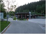
From the highway Ljubljana - Jesenice we go to the exit Ljubelj (Tržič), and then we continue driving in the direction of Celovec / Klagenfurt. After the Ljubelj tunnel we turn left and park on a marked parking lot by the former border crossing.
Route description:
On the west side of the abandoned border crossing we notice an asphalt road which starts gently ascending towards the farm Pamž. We follow the asphalt road to the nearby torrent, where we continue on the lower macadam road (straight farm Pamž). The road further first slightly descends, then turns to the left and continues with some shorter ascents and descents. After some time the road turns to the right and starts to ascend more steeply. From the road, which has some side branches, beautiful views open up on the surrounding mountains. Higher we arrive at a more distinct ridge, where just after the left turn, sharply to the left a poorly beaten hunting footpath branches off, which continues along the ridge to the hunting cottage, and we continue straight and follow the road, which again temporarily slightly descends, mostly towards the north. Higher the road, which crosses several avalanche-prone slopes, turns sharply to the left, and we follow it in a moderate ascent to the previously mentioned hunting cottage (the path on the road is approximately half an hour longer than on the hunting footpath).
From the hunting cottage we continue on the forest road and follow it in a moderate ascent to its end.
From the end of the road, where there is currently (May 2011) a temporary forestry cableway, we continue left upwards, where on easier but overgrown pathless terrain we ascend to the nearby ridge. When we step on the ridge we follow it to the left, and on or beside it we ascend to the summit of Sveta peč, a peak which is situated in the middle of the thin forest.
On the top of Sveta peč we catch a poorly beaten footpath which starts descending towards the southwest. The path first leads across a panoramic slope, then passes into a thin forest, where we quickly arrive at a grazing fence. We cross the fence and walk across a larger meadow to its other side, where we step onto a marked path which leads from Žabnica / Bodental towards Rjavca.
We follow the path with marking No. 12 to the left, and on it we first gently, then steeply ascend. The steepness quickly eases and the path bypasses Bela peč on the left side. After a short traverse we step onto an indistinct saddle, where sharply to the right a poorly beaten footpath to Bela peč branches off, and we continue straight on path No. 12. The path further brings us out of the forest onto a smaller and relatively steep scree, across which we ascend to the entrance into a gravel gully. Here the path ascends even more steeply, then brings us onto the ridge, where it turns to the right and levels out. An ascent through a belt of dwarf pines follows and an increasingly panoramic path quickly brings us to the 1789 m high peak.

Photos:
 1
1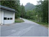 2
2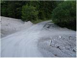 3
3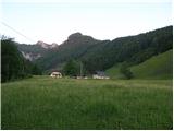 4
4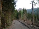 5
5 6
6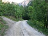 7
7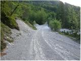 8
8 9
9 10
10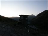 11
11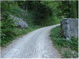 12
12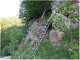 13
13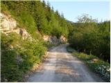 14
14 15
15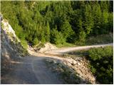 16
16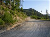 17
17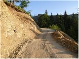 18
18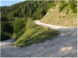 19
19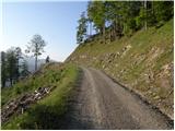 20
20 21
21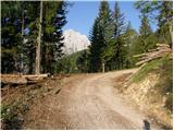 22
22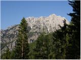 23
23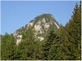 24
24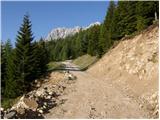 25
25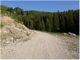 26
26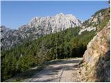 27
27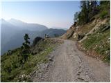 28
28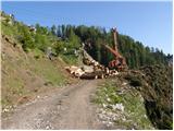 29
29 30
30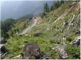 31
31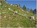 32
32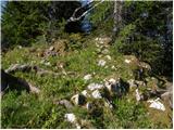 33
33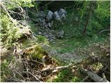 34
34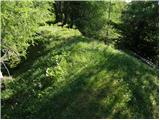 35
35 36
36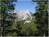 37
37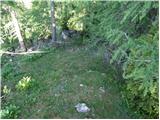 38
38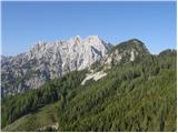 39
39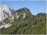 40
40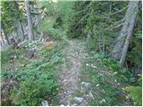 41
41 42
42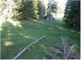 43
43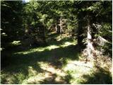 44
44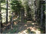 45
45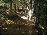 46
46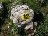 47
47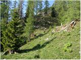 48
48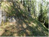 49
49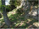 50
50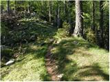 51
51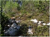 52
52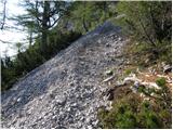 53
53 54
54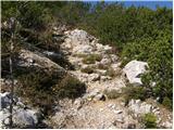 55
55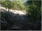 56
56 57
57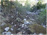 58
58 59
59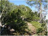 60
60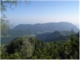 61
61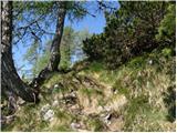 62
62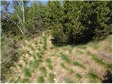 63
63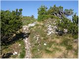 64
64 65
65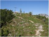 66
66 67
67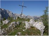 68
68 69
69
Discussion about the trip Pamž / Pamschbauer - Rjautza (via Sveta peč)
To post a comment you must log in:
If you do not yet have a username, you must first
register.