Parkirišče Hoyer (Neuhofgraben) - Gleinalm Schutzhaus
Starting point: Parkirišče Hoyer (Neuhofgraben) (843 m)
| Latitude/Longitude: | 47,22715°N 15,12308°E |
| |
Walking time: 2 h 30 min
Difficulty: partly demanding marked way
Elevation gain: 743 m
Elevation difference along the route: 760 m
Map: https://www.bergfex.at
Recommended equipment (summer):
Recommended equipment (winter): ice axe, crampons
Views: 114
 | 1 person like this post |
Access to starting point:
We leave the Maribor-Graz-Salzburg Highway (A9) at the Übelbach exit and then turn left at the intersection.
On the road, we drive through the place Übelbach and further to the place Neuhof.
In Neuhof, we follow the sharp right turn and do not pay attention to the dead-end sign.
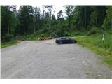
After approximately 2 kilometers of asphalt, the road becomes a macadam road. After 300 meters, we arrive at a marked parking lot. Here we park.
Route description:
From the parking lot, we go past the gate and follow the blazes in the direction of Gleinalmschutzhaus.
A pleasant walk on the macadam road through the forest for almost 5 km (around two-thirds of the entire path) brings us to a marked parking lot.
After the parking lot, we leave the road and continue left up on a marked footpath.
We follow a well-trodden path and the blazes, crossing the road a few times and also a larger stream.
It is quite interesting to observe how water flows downward from all sides.
When a view of the 1988m high Speikkogel opens up on the right side, we are already very near the mountain hut.
A short walk through the forest brings us to the Gleinalmsattel saddle, where the Gleinalm Schutzhaus mountain hut stands.
The path is well marked, with some sections of the footpath through the forest slightly steeper, but still technically easy.
The only spot where a little caution is needed is the crossing of the stream.
Photos:
 1
1 2
2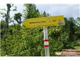 3
3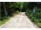 4
4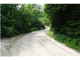 5
5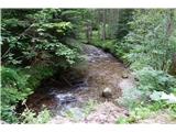 6
6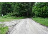 7
7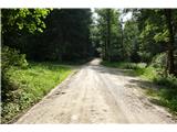 8
8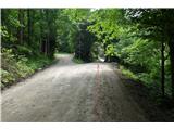 9
9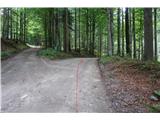 10
10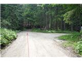 11
11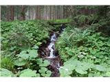 12
12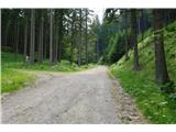 13
13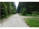 14
14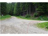 15
15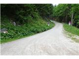 16
16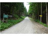 17
17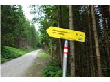 18
18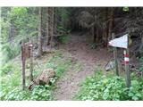 19
19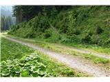 20
20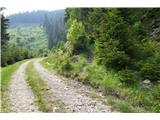 21
21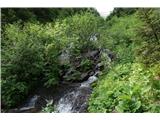 22
22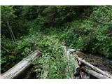 23
23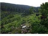 24
24 25
25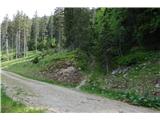 26
26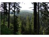 27
27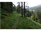 28
28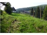 29
29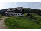 30
30 31
31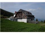 32
32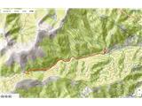 33
33
Discussion about the trip Parkirišče Hoyer (Neuhofgraben) - Gleinalm Schutzhaus
To post a comment you must log in:
If you do not yet have a username, you must first
register.