Parkplatz Innerfragant - Alteck (via Fraganter Scharte)
Starting point: Parkplatz Innerfragant (1230 m)
| Latitude/Longitude: | 46,98044°N 13,05170°E |
| |
Route name: via Fraganter Scharte
Walking time: 7 h
Difficulty: very difficult marked way
Elevation gain: 1712 m
Elevation difference along the route: 1850 m
Map:
Recommended equipment (summer): self belay set
Recommended equipment (winter): ice axe, crampons
Views: 650
 | 2 people like this post |
Access to starting point:
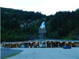
From the Karawanks Tunnel, we follow the highway towards Salzburg to a highway junction where we turn left towards Spittal. From Spittal we drive towards Lienz. A little after the highway ends, at the settlement Möllbrücke, we turn right towards the settlement Mallnitz and the Alpine road Großglockner. We follow this road to the settlement Kleindorf (a little after the settlement Flattach) where signs „Mölltaler Gletscher“ direct us to the right onto an ascending road towards the lower station of the cable car. We follow this road all the way to the large parking lots at the lower station of the cable car.
Route description:
From the parking lot, we continue on the asphalt road which is closed to traffic. After a short ascent on the road, signposts direct us to the right onto the footpath „Richard Helfer Weg“. On the footpath we also avoid the tunnels on the road through which walking is forbidden.
From the junction, we start to ascend somewhat more steeply through the forest on a relatively poorly trodden path. Higher up, we join the road for a short time and then turn right again onto the footpath, which is marked with Knafelc blazes. The path mostly ascends through the forest and crosses a few shorter clearings. Later, the path brings us to somewhat steeper slopes from which we occasionally get a view of the waterfalls of the Astrombach stream on the other side of the steep valley. On a short traverse where the slope is very steep, a rope also helps us. The path here is not overly demanding, but we must be careful because due to the bushes and tall grass we might not notice that beside the narrow path the slope is very steep. The path then turns left from the steep slopes and starts to ascend somewhat more steeply. Along such a path through the forest, we soon reach the mountain road.
We continue right on the road, which gently descends and brings us to a marked junction near the Wurtenspeicher lake. We head left onto the cart track and after a short ascent arrive at the lake. Near the lake there are also benches and a table.
The cart track that runs along the lake soon ends, and we head left onto the footpath. The path continues mostly with a gentle ascent across the slope above the lake towards the north, crossing a few smaller streams along the way. Later the path turns somewhat to the left and ascends in zigzags for a short time. A traverse of somewhat steeper slopes follows, where we bypass a smaller rockfall. Some caution is needed here. Later the increasingly scenic path becomes less steep and proceeds towards the north. We still have to pay attention to where we walk because there are quite a few deep holes beside the path. The path then descends slightly and brings us near the Mernigsee lake.
Here the path turns gently to the right and crosses a stream, then starts ascending the slope above the lake. We walk north again and soon cross the slope below the chairlift that leads to the Weißseehaus hut. The path then turns left and follows a short ascent on the slope to the left of the ski slope. Later the path runs across the ski slope and brings us to the mountain road where there is a junction.
To the right slightly downhill it is only a few dozen meters to the intermediate cable car station (Mittelstation), straight across the ski slope the footpath leads to the Duisburger Hütte hut, and we head left onto the road to the Weißseehaus hut, which we can already see ahead. From the junction, we ascend along a scenic asphalt road alongside which livestock grazes in the summer months. Along the scenic road we soon reach the Weißseehaus hut.
From the hut we continue on the road, which descends gently and then runs along the Weißsee lake for a short time. The road then starts ascending again and turns somewhat to the right, bringing us to the large artificial Hochwurtenspeicher lake. The road along the dam edge brings us to the right side of the lake where the asphalt road ends.
Here a footpath branches off to the right to the Duisburger Hütte hut, and we continue on the gravel road along the lake. Soon we reach a junction where the road to the Duisburger Hütte hut also branches off to the right. We continue on the left gentle road which runs along the lake the whole time. With fine views of the peaks above the lake, the road brings us to the northern side of the lake where there are several junctions.
We head right (towards the northeast) following the signs „Fraganter Scharte“, while slightly left the direct path to the Niedere Scharte notch leads. From the junction the path runs for a while across the ski slope along the stream and then turns decidedly left and starts ascending more steeply. When we approach the steeper slopes somewhat, the path turns right and then ascends diagonally all the way to the Fraganter Scharte notch where there is a junction.
At the notch where a view opens towards the north and the Hoher Sonnblick summit, we head left following the signs „Niedere Scharte“, while right the path leads to the Schareck summit. From the junction we walk along a gentle path that runs along a broad ridge. The path here passes a small weather station, which is located slightly to the left of the path. As we approach the Goldbergtauernkopf summit, the path leaves the ridge for the northern side where we cross the slope on rocky slabs in a gentle ascent. An ascent back to the ridge to the Goldbergtauernkopf summit follows.
From the summit we continue along the ridge and descend slightly to the Niedere Scharte notch where there is a junction.
From the left the direct path from the Hochwurtenspeicher lake joins, right downhill the path leads to the Hoher Sonnblick summit, and we continue straight to the Alteck summit.
From the notch the path starts ascending again and first leads past signs indicating that we are entering the Hohe Tauern nature park. The path then turns left for a short time, but when we approach the somewhat steeper slope we continue decidedly right. The path then brings us on rocky slabs to the northern side of the Alteck summit. The trail here is not visible so we must watch the blazes which guide us across the rocky slabs. Some caution is also needed since some rocks are not entirely stable. The path then starts ascending more steeply and continues on rocky slabs. Such a path leads all the way to the ridge on the northwestern side of the mountain. Here we continue left and after traversing along the ridge we reach a more difficult section a little below the summit. First we ascend along the steel cable back to the ridge, then a short ascent follows along the narrow ridge on which there are large rocky slabs. At a few points the path is also quite exposed. The difficulty then eases and only a short ascent to the panoramic summit remains.

Photos:
 1
1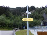 2
2 3
3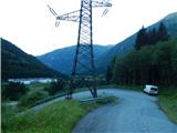 4
4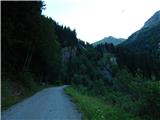 5
5 6
6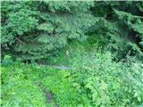 7
7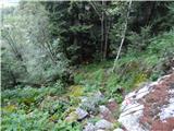 8
8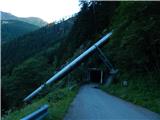 9
9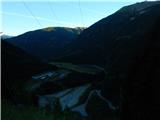 10
10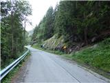 11
11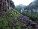 12
12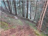 13
13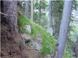 14
14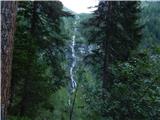 15
15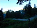 16
16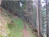 17
17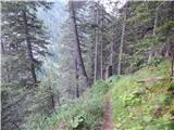 18
18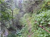 19
19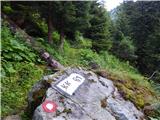 20
20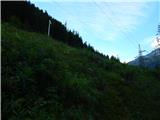 21
21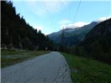 22
22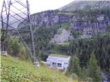 23
23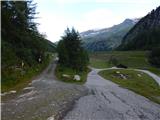 24
24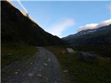 25
25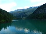 26
26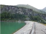 27
27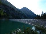 28
28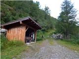 29
29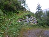 30
30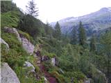 31
31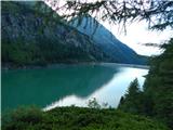 32
32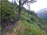 33
33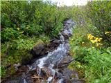 34
34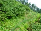 35
35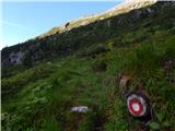 36
36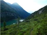 37
37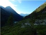 38
38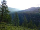 39
39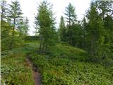 40
40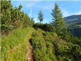 41
41 42
42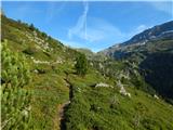 43
43 44
44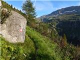 45
45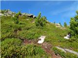 46
46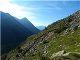 47
47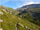 48
48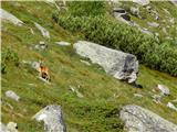 49
49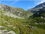 50
50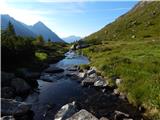 51
51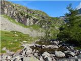 52
52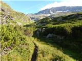 53
53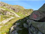 54
54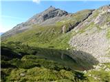 55
55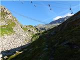 56
56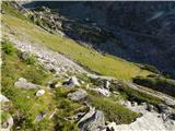 57
57 58
58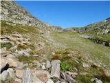 59
59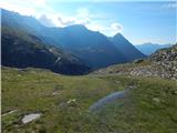 60
60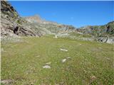 61
61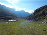 62
62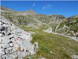 63
63 64
64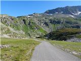 65
65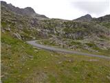 66
66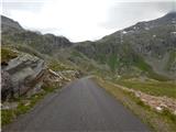 67
67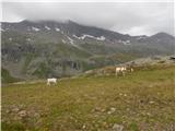 68
68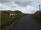 69
69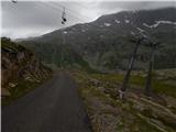 70
70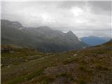 71
71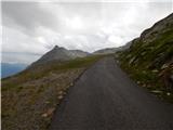 72
72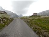 73
73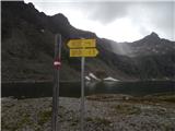 74
74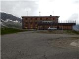 75
75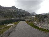 76
76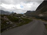 77
77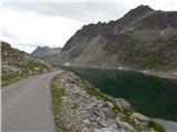 78
78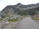 79
79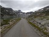 80
80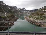 81
81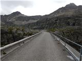 82
82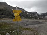 83
83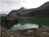 84
84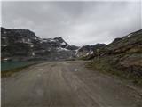 85
85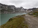 86
86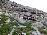 87
87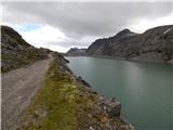 88
88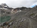 89
89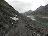 90
90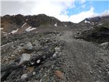 91
91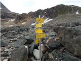 92
92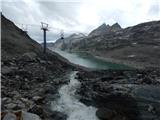 93
93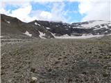 94
94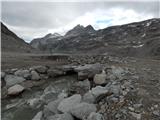 95
95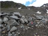 96
96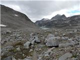 97
97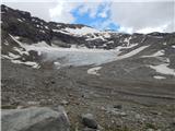 98
98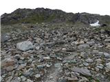 99
99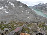 100
100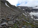 101
101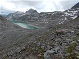 102
102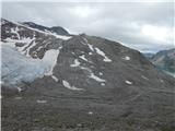 103
103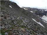 104
104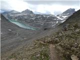 105
105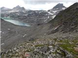 106
106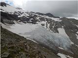 107
107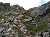 108
108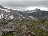 109
109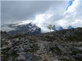 110
110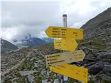 111
111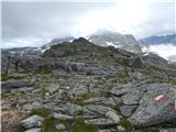 112
112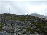 113
113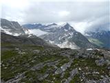 114
114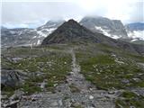 115
115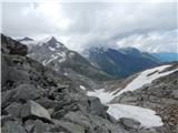 116
116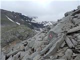 117
117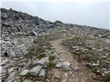 118
118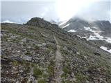 119
119 120
120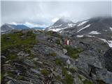 121
121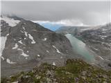 122
122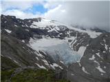 123
123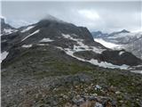 124
124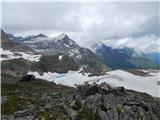 125
125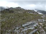 126
126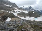 127
127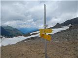 128
128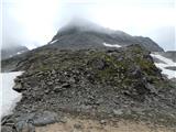 129
129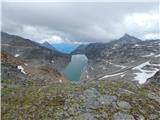 130
130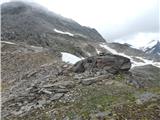 131
131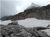 132
132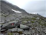 133
133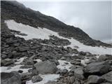 134
134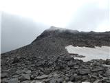 135
135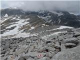 136
136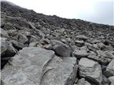 137
137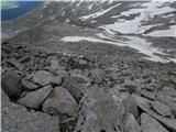 138
138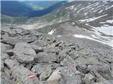 139
139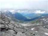 140
140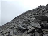 141
141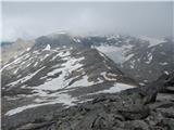 142
142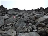 143
143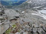 144
144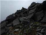 145
145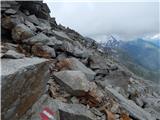 146
146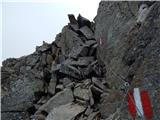 147
147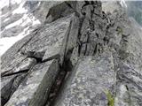 148
148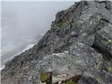 149
149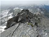 150
150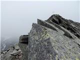 151
151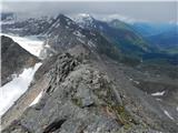 152
152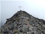 153
153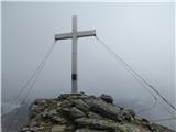 154
154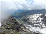 155
155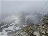 156
156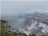 157
157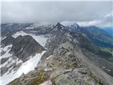 158
158
Discussion about the trip Parkplatz Innerfragant - Alteck (via Fraganter Scharte)
To post a comment you must log in:
If you do not yet have a username, you must first
register.