Passo Staulanza - Monte Pena
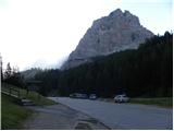
Starting point: Passo Staulanza (1766 m)
| Latitude/Longitude: | 46,42060°N 12,10467°E |
| |
Walking time: 3 h 30 min
Difficulty: easy marked way
Elevation gain: 430 m
Elevation difference along the route: 560 m
Map: Tabacco 25 1:25.000
Recommended equipment (summer):
Recommended equipment (winter):
Views: 2.574
 | 2 people like this post |
Access to starting point:
Over the Rateče border crossing we drive to Trbiž / Tarvisio, where we head onto the motorway in the direction of Udine. We leave the motorway at the Tolmezzo exit and follow the road to the mentioned place. From Tolmezzo we continue in the direction of the settlement Ampezzo and mountain pass Passo della Mauria. The road then starts descending and brings us to the Cadore valley, where we continue left towards Cortina d'Ampezzo. Further on, we follow the signs for Cortina d'Ampezzo to the settlement Venas di Cadore. A little before the end of the mentioned settlement we turn left towards the settlement Forno di Zoldo. The road then through the pass Cibiana brings us to the valley Val di Zoldo, where we continue right towards the pass Staulanza. We follow the ascending road all the way to the pass Staulanza.
Route description:
At Passo Staulanza pass we head southeast following the signs »Rif. Venezia, Orme di Dinosauro«. After a short ascent through the forest we come to a junction, where we continue right, while left leads the path that runs along the northern side of Monte Pelmo towards the Forada notch.
The path continues through the forest and crosses the slopes on the western side of Monte Pelmo. Here the path slightly ascends and descends, occasionally running over swampy terrain, and it is often quite muddy. From the right, the path from the Pala Favera camp joins us, and we continue crossing the slopes towards the southeast. Further on, the path mostly runs through dwarf pines and brings us to a marked junction.
Left upwards leads the path below the walls of Pelmetto peak, where dinosaur traces are visible on a larger boulder; we continue straight ahead following the signs for Rifugio Venezia. From the right, another path from Pala Favera joins us, then our path slowly turns left and brings us to the southern slopes below Monte Pelmo summit. In the last section towards the hut, the path brings us onto grassy slopes, and soon we will see the hut ahead.
A little before the hut, where there is a junction, we turn right following the signs »M. Pena«. From the junction, the path slightly ascends the grassy slope and brings us to a small weather station, where there is also a somewhat poorly visible junction.
Left leads path 475 towards Borca di Cadore; we head slightly right downhill along the grassy slope. The poorly visible path starts ascending again and runs slightly right towards the western slopes of Monte Pena peak. When we reach the west side of the mountain, we must watch for the narrow path that turns left into the larch forest (marked with a cairn). Further on, the path mostly crosses the northern slopes towards the southeast. Later, the path turns slightly right and starts ascending again. There are also some sinkholes along the path, so it can be quite dangerous especially in case of snow. Higher up, the path ascends for some time along dwarf pines, and in the last part there follows an ascent mostly on grassy slopes towards the summit.

Along the route: Passo di Rutorto (1931m)
Photos:
 1
1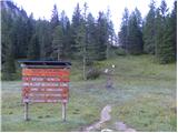 2
2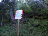 3
3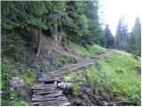 4
4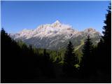 5
5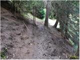 6
6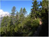 7
7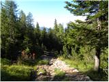 8
8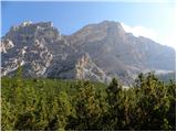 9
9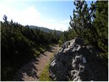 10
10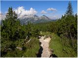 11
11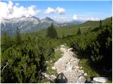 12
12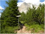 13
13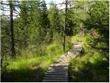 14
14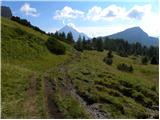 15
15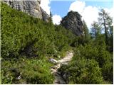 16
16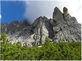 17
17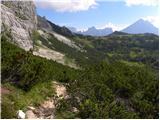 18
18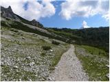 19
19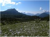 20
20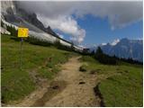 21
21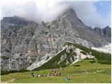 22
22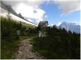 23
23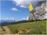 24
24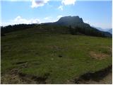 25
25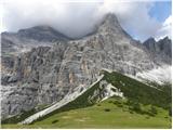 26
26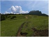 27
27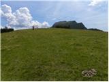 28
28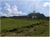 29
29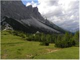 30
30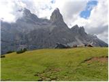 31
31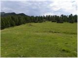 32
32 33
33 34
34 35
35 36
36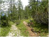 37
37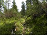 38
38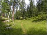 39
39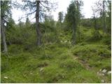 40
40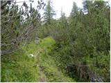 41
41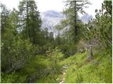 42
42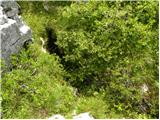 43
43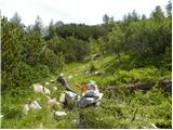 44
44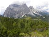 45
45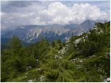 46
46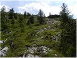 47
47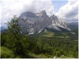 48
48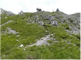 49
49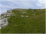 50
50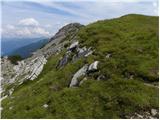 51
51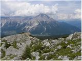 52
52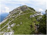 53
53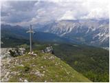 54
54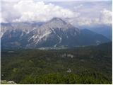 55
55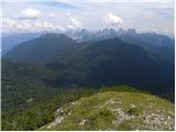 56
56 57
57 58
58
Discussion about the trip Passo Staulanza - Monte Pena
To post a comment you must log in:
If you do not yet have a username, you must first
register.