Tam na Meji (Beli potok) - Monte Nischiuarch
Starting point: Tam na Meji (Beli potok) (835 m)
| Latitude/Longitude: | 46,30992°N 13,35593°E |
| |
Walking time: 1 h 45 min
Difficulty: easy pathless terrain
Elevation gain: 425 m
Elevation difference along the route: 480 m
Map: Tabacco 26 1:25.000
Recommended equipment (summer):
Recommended equipment (winter): ice axe, crampons
Views: 174
 | 2 people like this post |
Access to starting point:
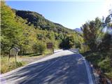
From the road Kobarid – Bovec in the village Žaga we turn towards the border crossing Učja. On the Italian side at the crossroads where the road branches off to the right towards the saddle Karnica and Rezija, we continue left or straight ahead in the direction of the town Videm/Udine. We follow the road to the bridge where it crosses the stream Beli potok / Rio Bianco. We park on the left side before the bridge, where there is a smaller parking lot. Next to the parking lot there are also signs marking the end of the Val Resia and the beginning of the municipality Bardo / Lusevera. There is also a smaller parking lot on the other side of the bridge.
Route description:
From the parking lot before the bridge we cross the road and signposts direct us onto path 739 towards Ricovero Casera Nischiuarch (Planina Nizki vrh). The path ascends steeply from the road, passes a military bunker and turns slightly to the right. Further on, we climb for some time through the forest and then cross the riverbed of the stream Rio Roncat. The path continues to ascend through the forest, so it offers little view. The path we are climbing is also part of the pilgrimage route Il Cammino Celeste from Aquileia to Višarij, so along the way we will occasionally notice blue markings for this route in addition to the usual blazes. Higher up, the path turns gently to the right and then continues eastward. We climb for a while longer, then the path descends slightly. After the descent, the path turns left and soon brings us to the mountain pasture Planina Nizki vrh. A short ascent follows past the signposts to the cottage on the mountain pasture.
From the cottage we continue on path 739 towards the church of St. Anne. The path ascends diagonally across the grassy slope above the hut, leads us into the forest and to signs marking the Natural Park Julian Prealps. Here the road that comes from the church of St. Anne also ends.
Here we leave the marked path towards the church and turn right along a gentle forested ridge, following a slightly grassy mule track. We follow the mule track to the right; further on it keeps us along the right side of the ridge. The relatively gentle path now traverses the slope in a southeasterly direction. Later it passes below a small cliff and brings us to a junction. We turn left and quickly reach a military tunnel. The right path leads slightly downhill to the remaining military tunnels.
We climb out of the ditch in front of the tunnel entrance and then head left onto pathless terrain. We walk straight uphill and quickly reach a forest-covered summit. On the summit there is also a small cross and a concrete slab.

Photos:
 1
1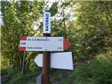 2
2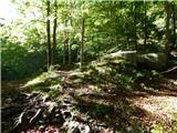 3
3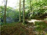 4
4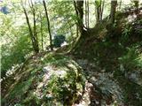 5
5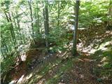 6
6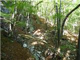 7
7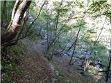 8
8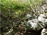 9
9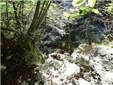 10
10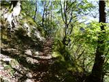 11
11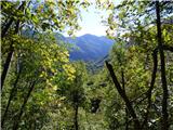 12
12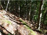 13
13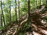 14
14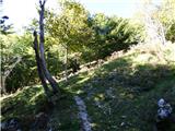 15
15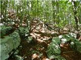 16
16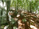 17
17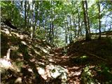 18
18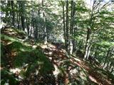 19
19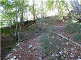 20
20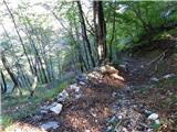 21
21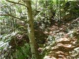 22
22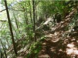 23
23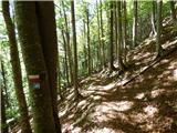 24
24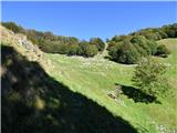 25
25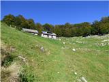 26
26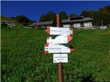 27
27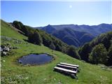 28
28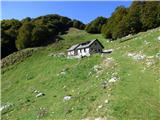 29
29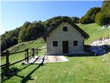 30
30 31
31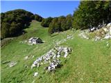 32
32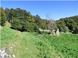 33
33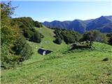 34
34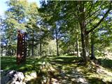 35
35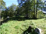 36
36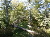 37
37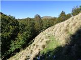 38
38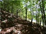 39
39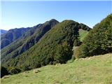 40
40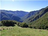 41
41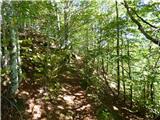 42
42 43
43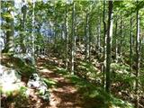 44
44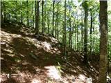 45
45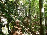 46
46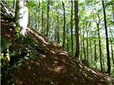 47
47 48
48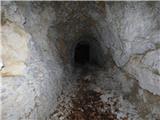 49
49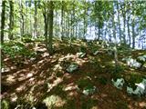 50
50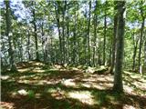 51
51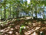 52
52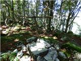 53
53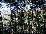 54
54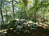 55
55
Discussion about the trip Tam na Meji (Beli potok) - Monte Nischiuarch
To post a comment you must log in:
If you do not yet have a username, you must first
register.