Passo Tre Croci - Rifugio Guido Lorenzi
Starting point: Passo Tre Croci (1805 m)
| Latitude/Longitude: | 46,55680°N 12,20200°E |
| |
Walking time: 3 h
Difficulty: easy marked way
Elevation gain: 1195 m
Elevation difference along the route: 1230 m
Map: Tabacco 03 1:25.000
Recommended equipment (summer):
Recommended equipment (winter):
Views: 12.158
 | 3 people like this post |
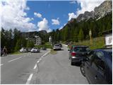
Access to starting point:
From Rateče or Predel we cross the border to Trbiž / Tarvisio and then on the highway in the direction of Videm / Udine to exit Tolmezzo. From Tolmezzo we follow the road in the direction of village Ampezzo and mountain pass Passo della Mauria. The road then descends and brings us to an intersection, where we continue right towards Auronzo. Further, we follow the signs for mountain pass Tre Croci.
Route description:
From the mountain pass Tre Croci we go right on a narrow, at first asphalt road (path number 203). At the beginning of the road there are also signposts, which point us to the mentioned road. The asphalt quickly ends and we continue past a gate and start ascending on a macadam road which is closed to traffic. The road which runs through the forest then soon brings us to a junction where the path towards the notch Forcella del Cristallo branches off to the right, and we continue on the forest road. When we come out of the forest, the path from the parking lot at the ski slope Monte Cristallo joins from the left. Further, we ascend on the road for some time, then signposts direct us to the right onto a footpath.
The path starts to ascend a little steeper and increasingly beautiful views of the surrounding peaks begin to open up. The path continues in ascent crossing the slopes towards the northwest and runs mostly along sparse dwarf pines. Higher up, the path brings us to the saddle Sonforcia where we rejoin the macadam road.
On the saddle we continue right on the road, which we follow all the way to the hut Son Forca.
From the hut we continue towards the cable car. Signposts at the bottom station of the cable car direct us onto the ski slope below the cableway. The path further always runs along the ski slope under the cable car and begins to ascend quite steeply. In the last section the path ascends steep scree, which brings us to the upper station of the cableway. From here we just walk to the hut.

Photos:
 1
1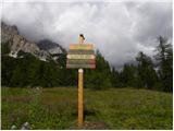 2
2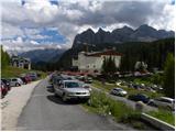 3
3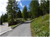 4
4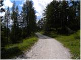 5
5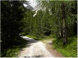 6
6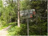 7
7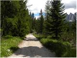 8
8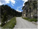 9
9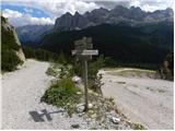 10
10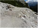 11
11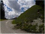 12
12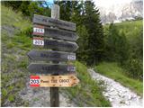 13
13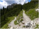 14
14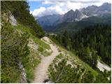 15
15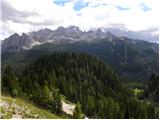 16
16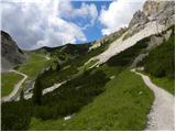 17
17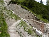 18
18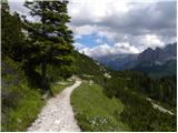 19
19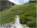 20
20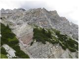 21
21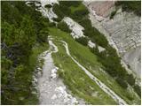 22
22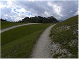 23
23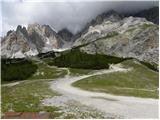 24
24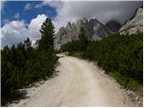 25
25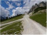 26
26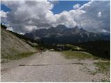 27
27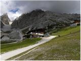 28
28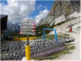 29
29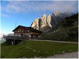 30
30 31
31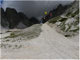 32
32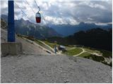 33
33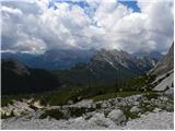 34
34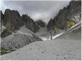 35
35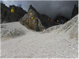 36
36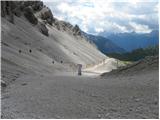 37
37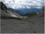 38
38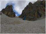 39
39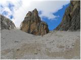 40
40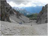 41
41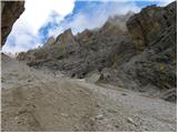 42
42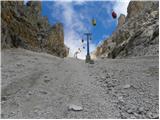 43
43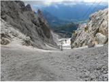 44
44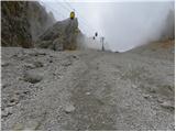 45
45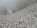 46
46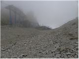 47
47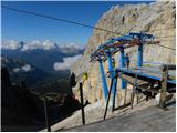 48
48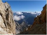 49
49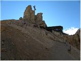 50
50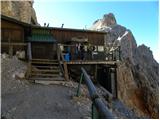 51
51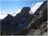 52
52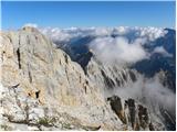 53
53
Discussion about the trip Passo Tre Croci - Rifugio Guido Lorenzi
|
| mirank19. 10. 2019 |
The hut has been permanently closed for about 3 years and is visibly deteriorating, which at 3000m altitude is nothing surprising. There's a sign on the wall that you step onto the terrace at your own risk and indeed you need to watch where you step (holes in the floor).
|
|
|
|
| Trobec1. 08. 2021 15:43:54 |
The view of the buildings (hut and cable car) is quite sad... the wood is really quite rotten in places.
And an interesting fact, the hut says 3000m... but in reality it's still a solid 60m short of that altitude. Just looking at Cristallino clearly shows it's not just 8m 
|
|
|
|
| felix6. 08. 2021 16:27:25 |
What about the conditions for overnight stays in Italy (I mean covid)?
|
|
|
To post a comment you must log in:
If you do not yet have a username, you must first
register.