Passo Valles - Cima Venegiotta (via 749 and 751)
Starting point: Passo Valles (2032 m)
Route name: via 749 and 751
Walking time: 2 h
Difficulty: easy marked way
Elevation gain: 369 m
Elevation difference along the route: 369 m
Map: Tabacco 1:25000 (Marmolada ali Dolomiti Fassane)
Recommended equipment (summer):
Recommended equipment (winter): helmet, ice axe, crampons
Views: 3.387
 | 1 person like this post |
Access to starting point:
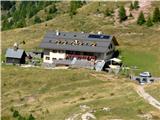
We leave the highway between Trieste and Venice at Portogruaro and follow the highway in the direction of Pordenone, Conegliano and Belluno, where we leave the highway and continue through Belluno, Ponte nelle Alpi and Agordo to Falcade, where from the road to Passo San Pellegrino we turn left towards the pass Passo Valles. At the pass, we park next to the family inn/hotel/shelter Cappana Valles.
Second possible access from Slovenia is through Karawanks – Spittal – Lienz – Cortina d'Ampezzo – Falzarego pass – Alleghe – Falcade – Passo Valles.
Route description:
From the pass, we follow the marked footpath No. 749, which comfortably crosses the slopes of Cima Valles, to the notch Forcella Venegia (2212 m). Here we turn left onto path 751, which follows the grassy terrain right of the ridge, past a small lake and across pastures adorned with rocky formations in the direction of the northwest wall of the much higher Monte Mulaz. The path crosses the entire southern slope of Cima Venegiotta. We reach a wide valley, which ends at the pass Venegiota. Path 751 continues towards the hut Volpi, but we turn sharply left at the sign onto the eastern ridge, along which we reach the panoramic summit.
Along the route: škrbina Forcella Venegia (2212m), vrh Cima Valles/Cima Venegia (2305m), vrh Cima Caladora/Cima del lago (2313m), prelaz Passo di Venegiotta (2303m), vrh Monte Mulaz (2906m)
Photos:
 1
1 2
2 3
3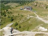 4
4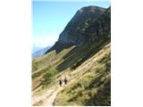 5
5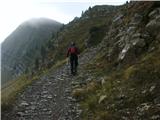 6
6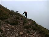 7
7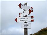 8
8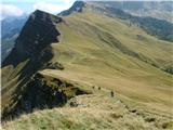 9
9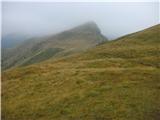 10
10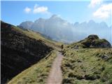 11
11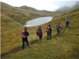 12
12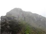 13
13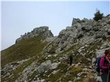 14
14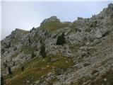 15
15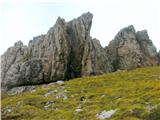 16
16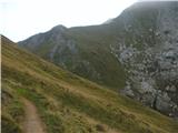 17
17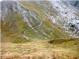 18
18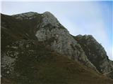 19
19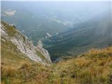 20
20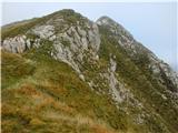 21
21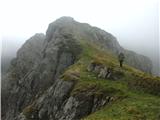 22
22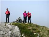 23
23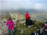 24
24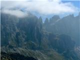 25
25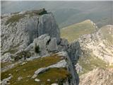 26
26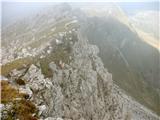 27
27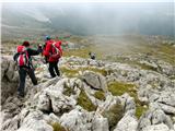 28
28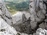 29
29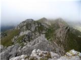 30
30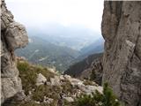 31
31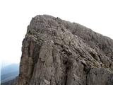 32
32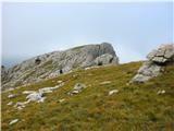 33
33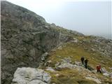 34
34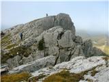 35
35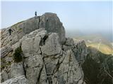 36
36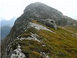 37
37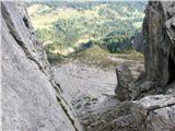 38
38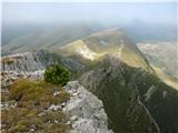 39
39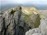 40
40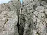 41
41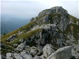 42
42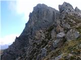 43
43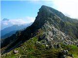 44
44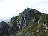 45
45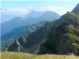 46
46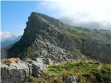 47
47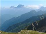 48
48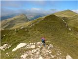 49
49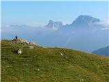 50
50
Discussion about the trip Passo Valles - Cima Venegiotta (via 749 and 751)
To post a comment you must log in:
If you do not yet have a username, you must first
register.