Päsztó - Muzsla (via Kővesberc)
Starting point: Päsztó (170 m)
| Latitude/Longitude: | 47,91579°N 19,69760°E |
| |
Route name: via Kővesberc
Walking time: 2 h
Difficulty: easy unmarked way
Elevation gain: 635 m
Elevation difference along the route: 635 m
Map:
Recommended equipment (summer):
Recommended equipment (winter):
Views: 148
 | 1 person like this post |
Access to starting point:
We arrive in Hungary via the border crossing Pince / Tornyszentmilkos. We drive to Budapest, bypass it on the M0 motorway and exit at the Nyíregyháza exit.
We continue in the direction of Nyíregyháza, Miskolc to the town of Hatvan, where we leave the motorway at the Hatvan, Salgotarján, Galyatető exit.
We head towards Salgotarján but only to the Pásztó exit. In the town of Pásztó we park the vehicle in a suitable place (in 2025 all parking lots were free).
Route description:
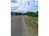
Our path starts in Gyöngyősi ut street (at the roundabout in the center of Pásztó town), from where we head south towards Szurdokpüspöki. Here we will notice red triangle markers along the path that accompany us for the first hour of hiking. We walk through the town until we reach the bus station, where we turn left uphill. Further orientation is easy because our goal is ahead of us.
This is followed by some gentle ascent on asphalt to the weekend settlement Muzsla-üdülő.
After a little less than an hour of walking from the starting point, we reach a junction where the path with red triangle markers branches off to the right downhill, but we go straight ahead where the asphalt ends. The path ahead leads along Vadvirág ut street, where on weekends we walk all the way to the edge of the forest.
Once in the forest, we follow a well-trodden path that brings us to a forest track. Here we go left uphill and after a minute of further walking we reach a meadow, where we go right uphill. Further on, the surface becomes somewhat more rocky, a little further the track returns to the forest.
The path continues ascending along the track, which runs along the bed of the Kővesberc stream, and during the ascent we also pass a walled spring. Here we ascend an increasingly steep path; when the track reaches the ridge, white markers appear along the path and we follow them uphill. A little further we reach a clearing from which we spot the Muzsla Nyereg saddle, where we return to the path with the red triangle marker.
This is followed by another five minutes of quite steep ascent to the summit, which is in the forest and offers no views.

Photos:
 1
1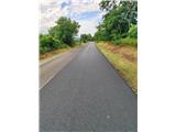 2
2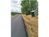 3
3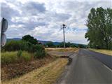 4
4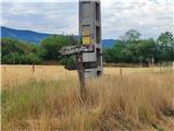 5
5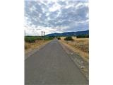 6
6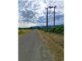 7
7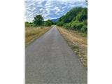 8
8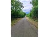 9
9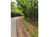 10
10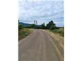 11
11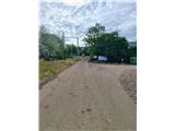 12
12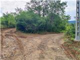 13
13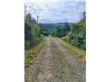 14
14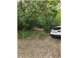 15
15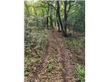 16
16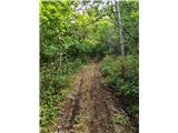 17
17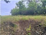 18
18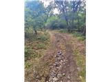 19
19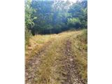 20
20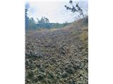 21
21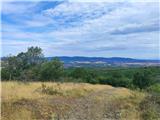 22
22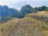 23
23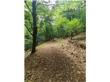 24
24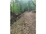 25
25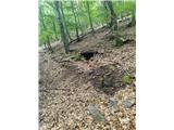 26
26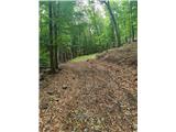 27
27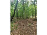 28
28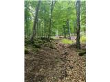 29
29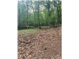 30
30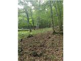 31
31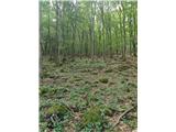 32
32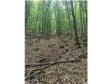 33
33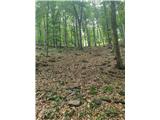 34
34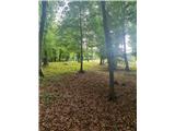 35
35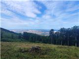 36
36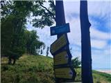 37
37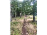 38
38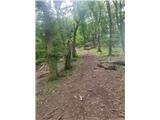 39
39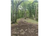 40
40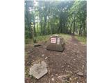 41
41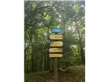 42
42 43
43
Discussion about the trip Päsztó - Muzsla (via Kővesberc)
To post a comment you must log in:
If you do not yet have a username, you must first
register.