Pečovje - Almin dom na Svetini (via Srebotnik)
Starting point: Pečovje (400 m)
Route name: via Srebotnik
Walking time: 1 h 30 min
Difficulty: partly demanding marked way
Elevation gain: 372 m
Elevation difference along the route: 450 m
Map:
Recommended equipment (summer):
Recommended equipment (winter): ice axe, crampons
Views: 8.089
 | 2 people like this post |
Access to starting point:
From the highway Ljubljana - Maribor, take the Celje exit and follow the road ahead in the direction of Laško. Soon after Celje (still before Laško), on the left (at the traffic light) over the bridge, the road towards Celjska koča branches off. On the other side of the bridge over the river Savinja, we continue right and the road through the underpass under the railway track brings us to the village Zagrad. Further, we continue on the road which most of the time runs along the stream Ločnica and higher brings us to the village Zvodno. Further, the road turns left and brings us to a crossroad, where we continue right. After an additional 100m of driving, the road towards Štore branches off to the left downwards (possible access also from this side). We continue straight and then park on the parking lot by the road.
Route description:
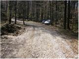
From the parking lot, we continue on the road ahead, which past a few houses brings us to a path junction, where we continue left in the direction of Barbarin pohod. We continue on a wide footpath, from which after a few minutes of a moderate ascent to the left branches off the path over Greben. Here we continue slightly right and the path gets very close to the forest road which we left a few minutes ago. The path ahead leads us on the left side of the road and higher again comes on the mentioned road which meanwhile already changed into a cart track. We continue straight upwards in the direction of Srebotnik (left Svetina, Tolsti vrh and Celjska koča) on the path which is steeper and steeper ascending. Already steep path, higher brings us on a covered ridge, where it ascends even steeper. This steep and mainly in wet for slipping dangerous path we follow to the top of Srebotnik.
From the top, we continue on a very steep path (danger of slipping), which after a few minutes of descent turns left and flattens. We continue on a quite overgrown slope, on the more and more wide path, which soon brings us on a rough forest road, where there is a crossing (left Štore, right Celjska koča). We continue straight on the path which only crosses the road and we ascend on a relatively steep cart track. After a few minutes, the steepness decreases and the path runs over a panoramic slope, from which a view opens up on the nearby Tolsti vrh. Further, cart track again ascends and higher brings us to a crossing, where we continue slightly left through a meadow in the direction of Barbarin pohod. On the top of the meadow the path brings us on a rough road, where we continue left. This road, which is slightly ascending, we follow to Almin dom na Svetini.

Photos:
 1
1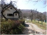 2
2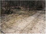 3
3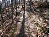 4
4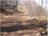 5
5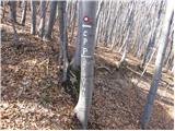 6
6 7
7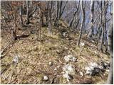 8
8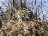 9
9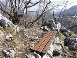 10
10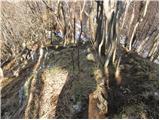 11
11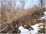 12
12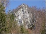 13
13 14
14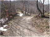 15
15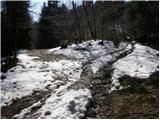 16
16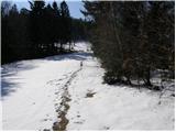 17
17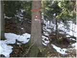 18
18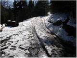 19
19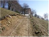 20
20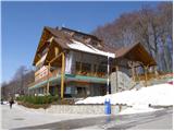 21
21
Discussion about the trip Pečovje - Almin dom na Svetini (via Srebotnik)
To post a comment you must log in:
If you do not yet have a username, you must first
register.