Starting point: Pešćine (80 m)
| Latitude/Longitude: | 44,66301°N 14,38631°E |
| |
Walking time: 2 h
Difficulty: easy marked way
Elevation gain: 508 m
Elevation difference along the route: 560 m
Map:
Recommended equipment (summer):
Recommended equipment (winter):
Views: 13.020
 | 3 people like this post |
Access to starting point:
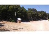
From highway Rupa - Rijeka or Zagreb - Rijeka we drive towards Rijeka, and from there we follow the signs for island Krk. When the highway ends, we descend to Krk Bridge. On island Krk we then follow the signs for island Cres and Lošinj and ferry port Valbiska. At the mentioned port we then go with the ferry to the settlement Merag on island Cres (126 kunas – July 2020). On island Cres we then follow the signs for Mali Lošinj. In the settlement Osor through a smaller bridge we reach island Lošinj. We still follow the main road, near the settlement Nerezine at first a road branches off to the right towards the settlement Halmac. We continue a few hundred meters on the main road and then signs for Pešćine point us to the right on a narrower and ascending road. We follow this road to a smaller parking lot by the road where there is also the beginning of the footpath. At the beginning of the path there is also an information board and signposts for Televrina and Sveti Nikola.
Route description:
At the starting point signs for Sveti Nikola and Televrina point us on a footpath. The path at first runs through the low forest and slightly ascends along a stone fence. Further on, the path turns a little to the left and occasionally views towards the sea start to open up. The path then for some time ascends diagonally up the slope with somewhat fewer trees and consequently with an even better view. A little higher the path brings us into a somewhat denser forest again where we reach the resting place named Počivalica Farbecof. Here by the path there are also some benches.
The path here turns to the right and then for quite some time ascends through the forest from which beautiful views still occasionally open up towards the settlement Nerezine and island Cres. On the well-marked path we then continue all the way to the marked junction a little below the summit of Sveti Nikola.
To the left there is only a short ascent to the summit of Sveti Nikola where there is also a chapel. If we also visit the mentioned chapel, we return to the junction and then continue towards the summit Televrina.
From the junction we first descend a little, then an ascent follows along the ridge from which the view also opens to the western side. The path then leads us past the vantage point named »Vatreni pogled« where there is also a bench. We continue ascending along bushes and low trees and the path soon brings us to a macadam road where there is also a junction.
To the right along the road there are only a few meters to the transmitter, to the left downhill the footpath leads to Vela Jama, we continue straight and slightly descend along the macadam road. After a few dozen meters we reach a marked junction again.
Here we leave the macadam road that leads downhill towards the mountain hut and onwards towards the settlement Osor and turn left onto the footpath to the summit Televrina. The path further mostly runs along the ridge through low forest, occasionally beautiful views open up to the surroundings. Such a path that mostly gently ascends brings us to the summit Televrina.
In the summer months it is very hot on the path, so it is recommended to set out very early, and it is necessary to take enough drinks with you.

Along the route: Sveti Nikola (557m), Oddajnik (560m)
Photos:
 1
1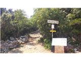 2
2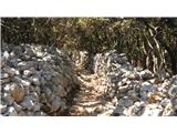 3
3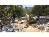 4
4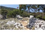 5
5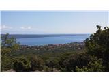 6
6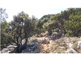 7
7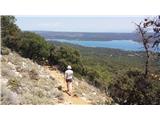 8
8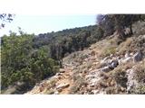 9
9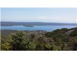 10
10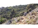 11
11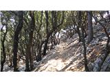 12
12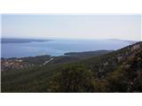 13
13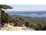 14
14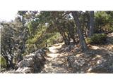 15
15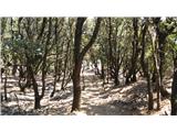 16
16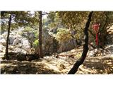 17
17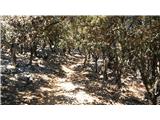 18
18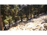 19
19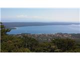 20
20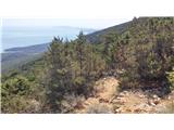 21
21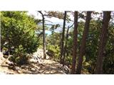 22
22 23
23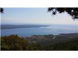 24
24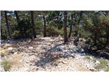 25
25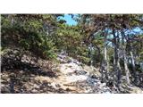 26
26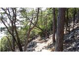 27
27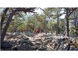 28
28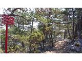 29
29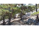 30
30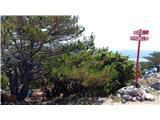 31
31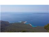 32
32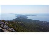 33
33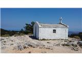 34
34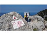 35
35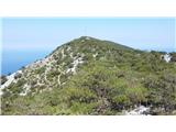 36
36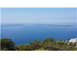 37
37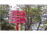 38
38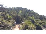 39
39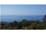 40
40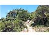 41
41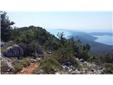 42
42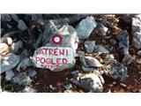 43
43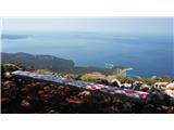 44
44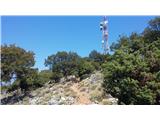 45
45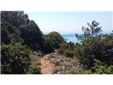 46
46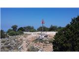 47
47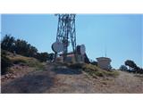 48
48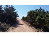 49
49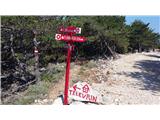 50
50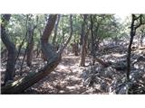 51
51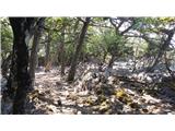 52
52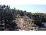 53
53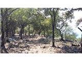 54
54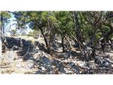 55
55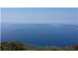 56
56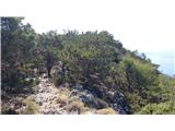 57
57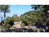 58
58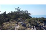 59
59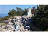 60
60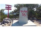 61
61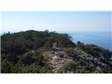 62
62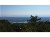 63
63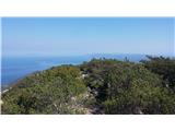 64
64
Discussion about the trip Pešćine - Televrina
To post a comment you must log in:
If you do not yet have a username, you must first
register.