Piano Fiscalino / Fischleinboden - Rudihütte
Starting point: Piano Fiscalino / Fischleinboden (1454 m)
| Latitude/Longitude: | 46,66680°N 12,35360°E |
| |
Walking time: 1 h 15 min
Difficulty: easy marked way
Elevation gain: 496 m
Elevation difference along the route: 496 m
Map: Tabacco 10 1:25.000
Recommended equipment (summer):
Recommended equipment (winter):
Views: 1.000
 | 1 person like this post |
Access to starting point:
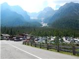
From Ljubljana through Karawanks Tunnel to Spittal. Next we drive towards Lienz, where at the roundabout we continue in the direction of village Sillian and Italy. On the Italian side of the border, we quickly come to San Candido, where we continue left in the direction of tourist town Sesto / Sexten. Only a little after town Sesto we come to San Giuseppe / Moss, where signs for Val Fiscalina / Fischleintal point us to the right. Next we drive on an ascending road which we follow to a large paid parking lot (3€ for parking longer than 6 hours, otherwise 0.5€ per hour – August 2015).
Route description:
From the parking lot, we return on the main road a few tens of meters back where there is a marked junction. We go right (towards the east) on a macadam cart track following the signs »Prati di Croda Rossa«. After a short ascent, the path named Strada degli Alpini branches off to the right, we still continue straight on a macadam cart track. Cart track here runs by the stream and soon it also crosses it. Further, we then start ascending a little steeper and the cart track passes into a footpath. Here we walk on the left side of the valley and we soon start ascending in zig-zags. Occasionally a beautiful view opens up towards the summit Punta dei Tre Scarperi, and the path leads us also past a cross and some benches. Forest is here relatively thin and a view also opens up towards the cable car, which runs towards the mountain hut Rudihütte. After that, the path turns slightly to the left and it brings us to a marked junction. We continue right on a steeper path, and on the left you get to the upper station of the cableway as well.
From the junction, we then for some time walk by the cableway and we start ascending steeply. When we get closer to a ski slope the slope becomes even steeper. Here we are ascending on steep stairs all the way to less steep slopes near the upper cableway station.
At the junction where a macadam road towards the mountain hut Rifugio Prati di Croda Rossa (Rotwandwiesenhütte) branches off to the right, we continue straight past the upper cableway station. By panoramic grassy slopes we then soon reach the mountain hut Rudihütte.

Photos:
 1
1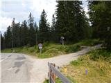 2
2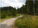 3
3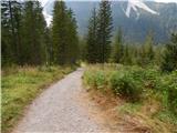 4
4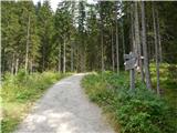 5
5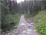 6
6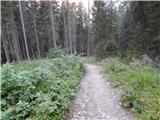 7
7 8
8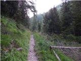 9
9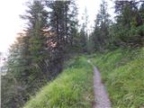 10
10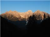 11
11 12
12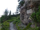 13
13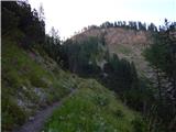 14
14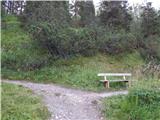 15
15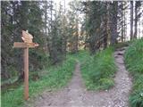 16
16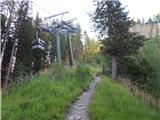 17
17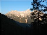 18
18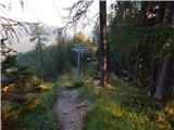 19
19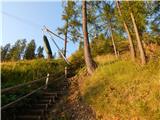 20
20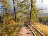 21
21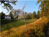 22
22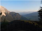 23
23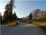 24
24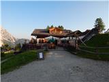 25
25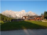 26
26
Discussion about the trip Piano Fiscalino / Fischleinboden - Rudihütte
|
| mirank10. 09. 2017 |
This year parking there is 5eur per day; closer (and free parking) is at the lower cable car station.
|
|
|
To post a comment you must log in:
If you do not yet have a username, you must first
register.