Pikovnik - Sveti Vid (Vidovska planota)
Starting point: Pikovnik (859 m)
| Latitude/Longitude: | 45,86150°N 14,41630°E |
| |
Walking time: 1 h 30 min
Difficulty: easy marked way
Elevation gain: -13 m
Elevation difference along the route: 150 m
Map: Snežnik 1:50.000
Recommended equipment (summer):
Recommended equipment (winter):
Views: 2.784
 | 1 person like this post |
Access to starting point:
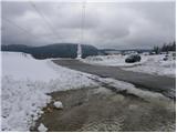
A) From the highway Ljubljana - Koper, we take the Brezovica exit, then continue driving in the direction of Podpeči (to Podpeči we can also come from Črna vas or Ig). In Podpeči we continue in the direction of Borovnica, Krim and Rakitna and continue driving for a short time along the edge of the Ljubljana Marshes, then the signs for Rakitna direct us left onto a steep ascending road. The road then leads us through Preserje, where it also starts to descend. After a short descent, we continue left in the direction of Krim and Rakitna, and we follow the mostly ascending road to Rakitna and from there towards Cerknica. Further on, we drive a few kilometers through the forest, then we arrive at the Pikovnik saddle and the eponymous settlement, where we park in an appropriate place by the road.
B) From the highway Koper - Ljubljana, we take the Unec exit and follow the road ahead in the direction of Cerknica. Just a little before Cerknica, we continue left in the direction of Begunje, and when we arrive in Begunje, we follow the signs for Rakitna. Further on, the road starts to ascend, and we follow it to the settlement and saddle Pikovnik, where we park in an appropriate place by the road.
C) First, we drive to Cerknica, then we continue driving in the direction of Begunje; when we arrive in Begunje, we follow the signs for Rakitna. Further on, the road starts to ascend, and we follow it to the settlement and saddle Pikovnik, where we park in an appropriate place by the road.
Route description:
On the eastern side of the pass we notice signposts for Zadela, Koščake and Sveti Vid, which point us on a cart track which first ascends below the power line and turns a little to the left. For a short time we continue below the power line, and then the initially panoramic path turns to the right. We continue the ascent along an ever narrower hay meadow, which is surrounded by mostly spruce forest. Higher up, the path levels out, and the forest at the beginning of the panoramic ridge temporarily ends completely. On the other side of the extensive meadow, the path goes into the forest, through which it then ascends relatively gently. The path continues on the southwestern side of Zadela (Zadela (959 m) is a forest-covered peak), and then gradually brings us to an indistinct saddle southeast of the mentioned summit.
Further, the path gradually transitions to the forested ridge of Ostri vrh (950 m), whose indistinct peak we reach after a few minutes of further walking.
From Ostri vrh, the path starts descending first through the forest, then across already overgrown clearings. When the descent ends, we step onto the road Zadela - Sveti Vid, and we reach it right at the lonely house, behind which we gradually come out of the forest. We continue the path with nice views of the Javorniki ridge, Slivnica, Snežnik and other surrounding hills. A short descent follows, in the middle of which first the road branches off to the right towards a few houses in the village Koščake, and a little further the path from Rakitna joins from the left. In both cases we continue straight, and further the asphalt road quickly takes us to the next village named Korošče.
On the other side of the village, the road temporarily ascends a little, then levels out and slowly starts turning more to the left. During this a view opens towards the church of sv. Vid and the eponymous village. A little before the village, we join another slightly wider road, which we follow to the left, ascending to the fire station and church.

Along the route: Koščake (850m), Korošče (827m)
Photos:
 1
1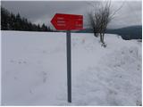 2
2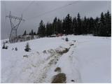 3
3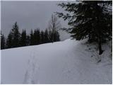 4
4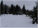 5
5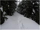 6
6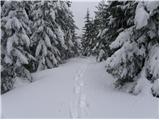 7
7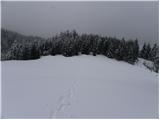 8
8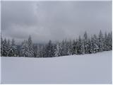 9
9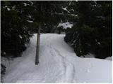 10
10 11
11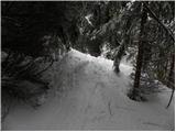 12
12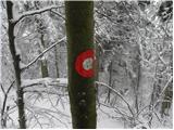 13
13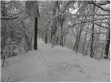 14
14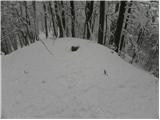 15
15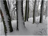 16
16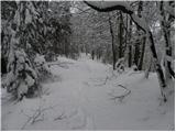 17
17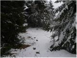 18
18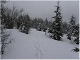 19
19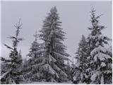 20
20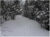 21
21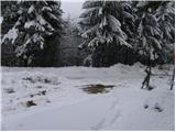 22
22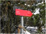 23
23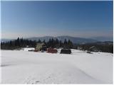 24
24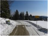 25
25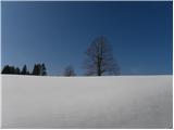 26
26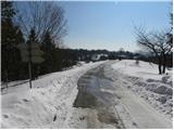 27
27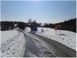 28
28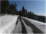 29
29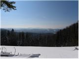 30
30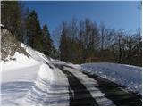 31
31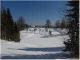 32
32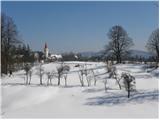 33
33 34
34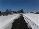 35
35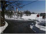 36
36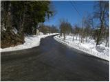 37
37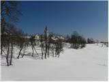 38
38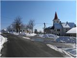 39
39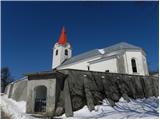 40
40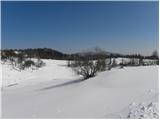 41
41
Discussion about the trip Pikovnik - Sveti Vid (Vidovska planota)
To post a comment you must log in:
If you do not yet have a username, you must first
register.