Plajberški graben / Bleiberger Graben - Rabenberg
Starting point: Plajberški graben / Bleiberger Graben (1000 m)
| Latitude/Longitude: | 46,48950°N 14,21660°E |
| |
Walking time: 1 h 45 min
Difficulty: easy unmarked way
Elevation gain: 465 m
Elevation difference along the route: 465 m
Map: Karavanke - osrednji del 1:50.000
Recommended equipment (summer):
Recommended equipment (winter): ice axe, crampons
Views: 213
 | 2 people like this post |
Access to starting point:
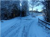
Via the Ljubelj border crossing we drive into Austria, and at the pass Mali Ljubelj we continue left towards the valley Poden / Bodental. There follows some more ascent, then we arrive at the settlement Slovenji Plajberk / Windisch Bleiberg, somewhat past the mentioned settlement the road turns left. In the middle of the left turn we continue right onto a side road towards the settlement Strugarje / Strugarjach. Further on, we drive through Plajberški graben - Bleiberger Graben, and we follow the road to the intersection, where at an interesting sign a road branches off to the right towards the saddle Vranjica / Orienzasattel and the hill Psinski vrh / Sinacher Gupf. We park at a suitable place near the intersection.
Route description:
From the starting point we continue along the right road towards Psinski vrh / Sinacher Gupf and saddle Vranjica / Orienzasattel (straight to Strugarje / Strugarjach). Initially we walk along a gently undulating road that leads us past individual farmsteads, then behind the farmstead Vranjšnjak / Oreinschnak the asphalt ends and the path leads along the edge of the pasture. Higher up the road enters dense forest and with moderate ascent brings us to the junction at saddle Vranjica, where at the first junction we continue slightly right towards Žingarica / Singerberg (left to Psinski vrh), at the second junction only a few dozen steps away again right in the same direction (straight to Št. Janž v Rožu / St. Johan im Rosental and Bistrica v Rožu / Feistritz im Rosental).
A diagonal ascent to the left follows, where we ascend the slopes of the peak Rabenberg, at junctions following the wider or marked road. Higher, in the area named Velika ravna the road flattens temporarily, then ascends diagonally to saddle Albink, where there is a marked junction.
From the junction at saddle Albnik we continue sharply right onto an unmarked road (left to Žingarica, straight to Slovenji Plajberk), along which we ascend moderately for some time, then the road, from which occasional views mainly to the north open up, flattens. In the last section we follow the gentle road to its end, from where we continue left and in a few steps ascend to the highest point of peak Rabenberg.
Starting point - saddle Vranjica 0:30, saddle Vranjica - saddle Albink 0:50, saddle Albink - Rabenberg 0:25.
Description and pictures refer to conditions in 2019 (December).

Along the route: Sedlo Vranjica / Orienzasattel (1122m), Albnik / Halbingsattel (1360m)
Photos:
 1
1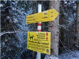 2
2 3
3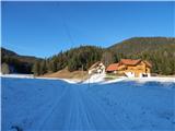 4
4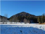 5
5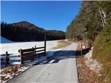 6
6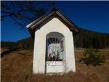 7
7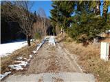 8
8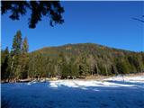 9
9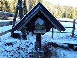 10
10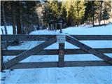 11
11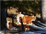 12
12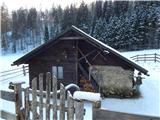 13
13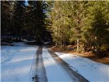 14
14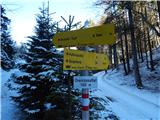 15
15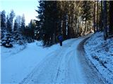 16
16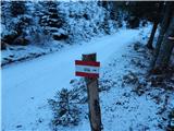 17
17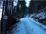 18
18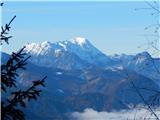 19
19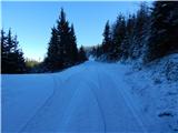 20
20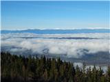 21
21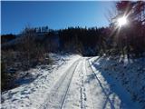 22
22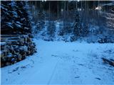 23
23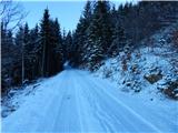 24
24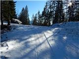 25
25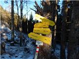 26
26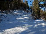 27
27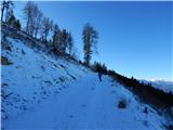 28
28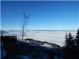 29
29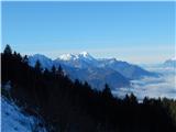 30
30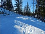 31
31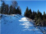 32
32 33
33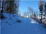 34
34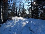 35
35 36
36 37
37
Discussion about the trip Plajberški graben / Bleiberger Graben - Rabenberg
To post a comment you must log in:
If you do not yet have a username, you must first
register.